
Activity · Cycling
Cycling the Pas Greenway
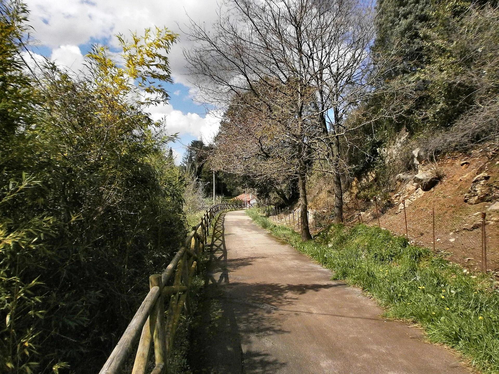
The Pas Greenway follows a former railway that linked the coastal town of Astillero with Ontaneda in the Pas valley. The national greenways site gives it as 34.82 km between Alceda-Ontaneda and Astillero, through places such as Puente Viesgo, Castañeda and Penagos, on asphalt and compacted earth, for walkers, skaters and cyclists. It includes a tunnel, two metal bridges and a viaduct.
Bronstein / Wikimedia Commons, CC BY-SA 4.0
Travel, stay and experience
Getting around, where to stay and what to experience around Cycling the Pas Greenway, from the guide's own records.
Getting around
- Aeropuerto Seve Ballesteros-Santander (SDR) · 27 km in a straight line
- Estación de Santander · 30 km in a straight line
Where to stay
13 registered places to stay within 10 km (straight line). Nearest:
- Hotel Balneario de Alceda · 1 km in a straight line
- Posada La Dalia · 4 km in a straight line
- Hotel De Borleña · 5 km in a straight line
Mapped by volunteers on OpenStreetMap; nothing is booked here.
Things to experience
Straight-line distances, not travel times. Tierra Luma shows no availability or prices and takes no bookings.
Where it takes place
Between Alceda-Ontaneda (Corvera de Toranzo) and Astillero, along the Pas valley.
Safety
- Only some sections are listed as suitable for people with reduced mobility: Astillero–Penagos (8.9 km) and Sarón–Alceda-Ontaneda (23 km).
Leave room for discovery
Ideas, not instructions: take what suits your day.
- Food and a break
- There is no town close by in our records: bring food and water for the day, and take your rubbish home.
- If you have time
- Turn back whenever you like: the view is yours at any height.
- Leave time afterwards to rest and look around.
Related activities
The same kind of activity first, then the nearest (in a straight line).
- Cycling & mountain biking · Mountain bikingPedaleando por el Románico mountain-bike loopCircular route from Aguilar de Campoo through the Romanesque villages of northern Palencia.
- Cycling & mountain biking · CyclingSantander–Mediterráneo Greenway, Burgos to La EngañaFrom Villarmero, near Burgos, north via Poza de la Sal, Oña, Trespaderne and Medina de Pomar to Cidad-Dosante (Merindad de Valdeporres).
- Cycling & mountain biking · Gravel cyclingGravel ride from Ribadesella to VillaviciosaRibadesella/Ribeseya to Villaviciosa, eastern-central Asturian coast.
- Cycling & mountain biking · Road cyclingRoad cycling: the Reconquista loop over El FitoCangas de Onís – Arriondas – Alto del Fito – Caravia – Ribadesella – Nueva and back (eastern Asturias).
Nearby
Within 30 km in a straight line. Distances are not travel times: valleys and mountain roads decide those.
More places nearby
- Yacimientos de La Espina del Gallego, Cildá, El Cantón y Campo de Las CercasLandmark · Cantabria · 4 kmView details
- Valle de LuenaValley · Cantabria · 8 kmExplore place
- Valle de ToranzoValley · Cantabria · 8 kmExplore place
- Cueva de El CastilloCave · Cantabria · 11 kmExplore place
- Valle de IguñaValley · Cantabria · 11 kmExplore place
- Museo de las Amas de Cría PasiegasMuseum · Cantabria · 12 kmView details