
Activity · Hiking
Climbing Monte Pindo to A Moa
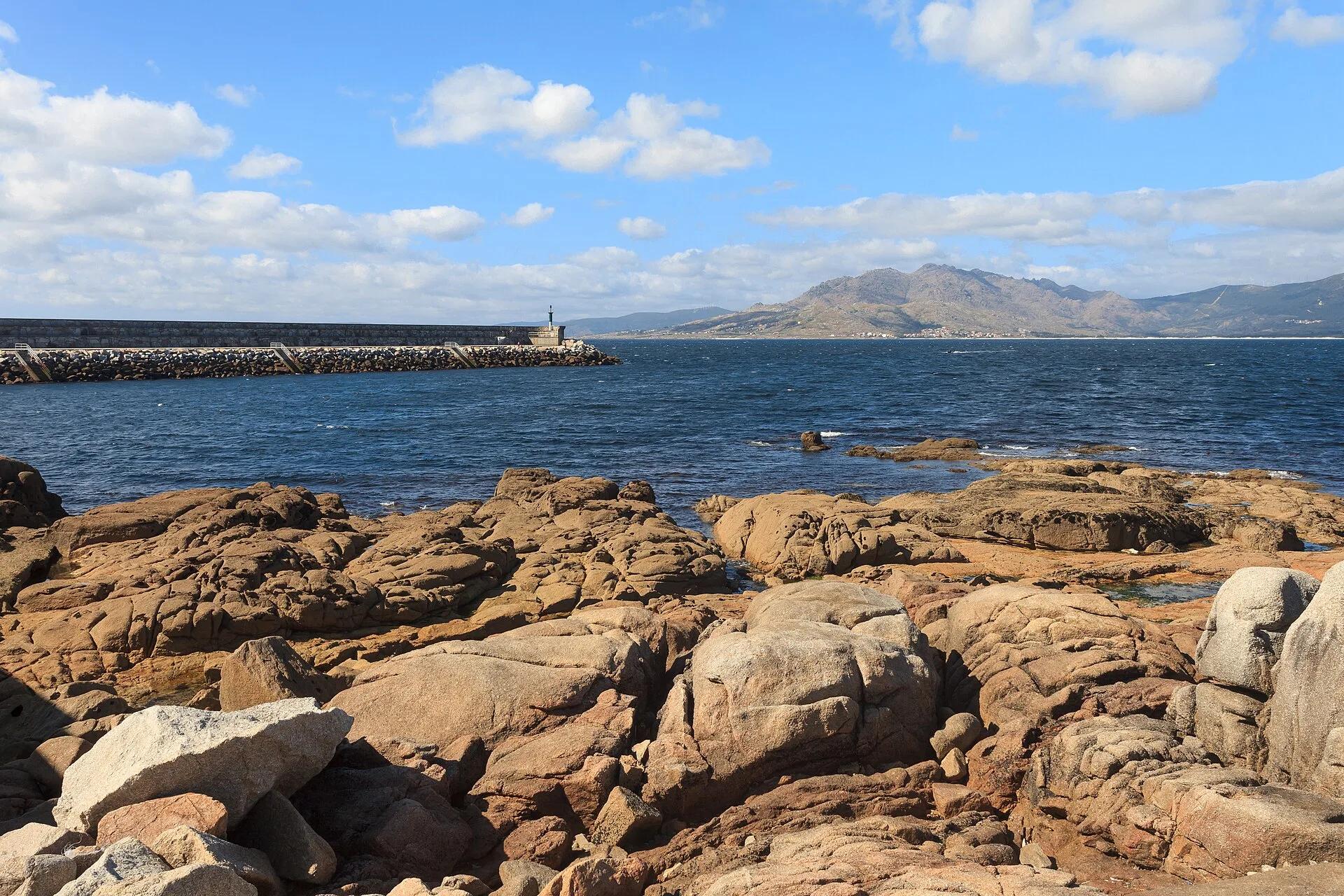
Monte Pindo, the granite massif that Turismo de Galicia calls the 'Celtic Olympus', rises to 627 m about two kilometres from the sea. Carnota council's 'Olladas ao Atlántico' route climbs 4.4 km, in about two hours, past rock formations such as the Xigante da Mina to the summit of A Laxa da Moa. On clear days the view reaches south to the mouths of the Arousa and Pontevedra rías.
Luis Miguel Bugallo Sánchez (Lmbuga) / Wikimedia Commons, CC BY-SA 4.0
Travel, stay and experience
Getting around, where to stay and what to experience around Climbing Monte Pindo to A Moa, from the guide's own records.
Getting around
- Aeropuerto Santiago-Rosalía de Castro (SCQ) · 57 km in a straight line
- Estación de Santiago de Compostela · 46 km in a straight line
Where to stay
22 registered places to stay within 10 km (straight line). Nearest:
- Pensión Sol e Mar · 2 km in a straight line
- Hotel Morada da Moa · 2 km in a straight line
- Mar Infinito da Costa da Morte · 2 km in a straight line
Mapped by volunteers on OpenStreetMap; nothing is booked here.
Things to experience
Straight-line distances, not travel times. Tierra Luma shows no availability or prices and takes no bookings.
Where it takes place
Monte Pindo, Carnota, Costa da Morte (A Coruña).
Leave room for discovery
Ideas, not instructions: take what suits your day.
- Food and a break
- There is no town close by in our records: bring food and water for the day, and take your rubbish home.
- If you have time
- Ask the guide about the thing that surprised you most.
- Follow the coastal path a little further than you meant to.
Related activities
The same kind of activity first, then the nearest (in a straight line).
- Hiking & mountain trails · HikingWalk to the Ézaro waterfall, where the Xallas falls into the seaO Ézaro, Dumbría, Costa da Morte (A Coruña).
- Hiking & mountain trails · TrekkingO Camiño dos Faros: the lighthouse trail of the Costa da MorteThe Costa da Morte coast between Malpica de Bergantiños and Cabo Fisterra (A Coruña).
- Hiking & mountain trails · HikingWalking in the Fragas do EumeFragas do Eume Natural Park, around 10 km from Pontedeume (province of A Coruña).
- Hiking & mountain trails · HikingHiking in the Ribeira SacraRibeira Sacra, along the Sil and Miño (provinces of Lugo and Ourense).
Nearby
Within 30 km in a straight line. Distances are not travel times: valleys and mountain roads decide those.
More places nearby
- Castillo de San JorgeLandmark · A Coruña · 2 kmView details
- Fervenza do ÉzaroWaterfall · A Coruña · 3 kmExplore place
- Embalse de Santa UxíaLake · A Coruña · 3 kmExplore place
- Igrexa de San Mamede de CarnotaLandmark · A Coruña · 5 kmView details
- Castelo de BrandufeLandmark · A Coruña · 6 kmView details
- Castillo del PríncipeLandmark · A Coruña · 6 kmView details