
Activity · Road cycling
Road cycling: Campomanes to the Alto de La Cubilla
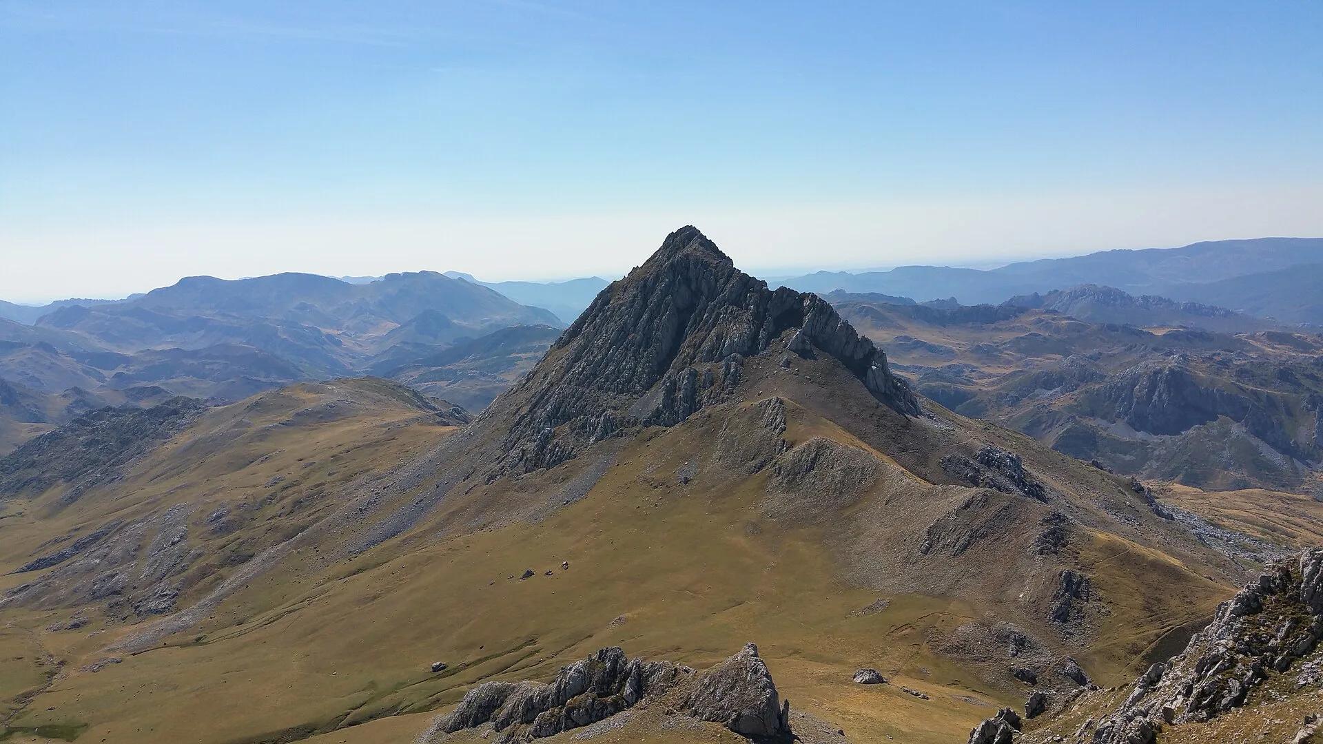
A climb of almost 30 km up the Huerna valley, 18 of them steady from Los Pontones but rarely above 10 per cent, through the villages of Teyeo, Rospaso and Tuíza and oak woods that give way to high mountain views of Las Ubiñas. Turismo Asturias compares its hairpins and alpine feel to great Tour de France stages and calls it one of the most beautiful climbs in central Asturias.
FIPE62 / Wikimedia Commons, CC BY-SA 4.0
Travel, stay and experience
Getting around, where to stay and what to experience around Road cycling: Campomanes to the Alto de La Cubilla, from the guide's own records.
Getting around
- Aeropuerto de Asturias (OVD) · 54 km in a straight line
- Estación de Oviedo · 29 km in a straight line
Where to stay
10 registered places to stay within 10 km (straight line). Nearest:
- Alojamiento Casa del Abad · 1 km in a straight line
- Hospedaje Senda del Huerna · 1 km in a straight line
- Albergue Santuario de Bendueños · 2 km in a straight line
Mapped by volunteers on OpenStreetMap; nothing is booked here.
Things to experience
Straight-line distances, not travel times. Tierra Luma shows no availability or prices and takes no bookings.
Where it takes place
Campumanes (Lena) to La Cubilla pass on the Asturias–León border.
Safety
- The road may be closed by snow in winter; check conditions before you set off.
Leave room for discovery
Ideas, not instructions: take what suits your day.
- Food and a break
- There is no town close by in our records: bring food and water for the day, and take your rubbish home.
- If you have time
- Stop at a bend in the path and just listen.
- Leave time afterwards to rest and look around.
Related activities
The same kind of activity first, then the nearest (in a straight line).
- Cycling & mountain biking · Road cyclingRoad cycling: Pajares pass and Cuitu NegroCampumanes (Lena) to Pajares pass and El Brañillín / Cuitu Negro.
- Cycling & mountain biking · Road cyclingRoad cycling: the Gamoniteiru climbFrom La Pola, Lena, to the summit of the Gamoniteiru (Sierra del Aramo).
- Cycling & mountain biking · CyclingTurón Valley Greenway: a ride through mining heritageUxo to the Turón valley, Mieres (central Asturias).
- Cycling & mountain biking · Mountain bikingMountain biking: Cordal de Coto Bello, AllerIn the municipality of Aller; the route starts and ends at the Coto Bello viewpoint, reached by road from Corigos.
Nearby
Within 30 km in a straight line. Distances are not travel times: valleys and mountain roads decide those.
More places nearby
- El Homón de FaroLandmark · Asturias · 8 kmView details
- Peña RuedaMountain · Asturias · 12 kmExplore place
- Alto del GamoniteiroMountain · Asturias · 12 kmExplore place
- Parque natural de Las Ubiñas - La MesaProtected area · Asturias · 14 kmExplore nature park
- Macizo AsturianoMountain range · Asturias · 15 kmExplore place
- Castillo de SotoLandmark · Asturias · 15 kmView details