
Activity · Road cycling
Road cycling: Pajares pass and Cuitu Negro
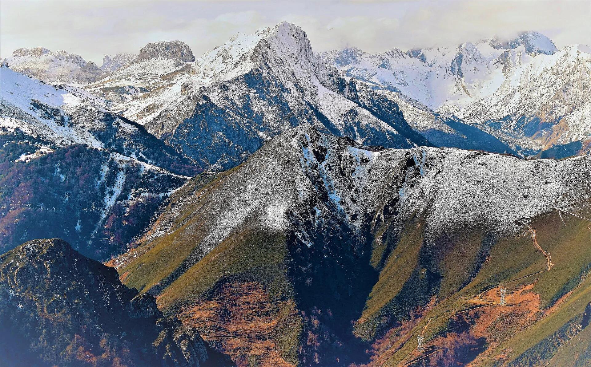
This route links the climb to the Pajares pass, a classic of the Vuelta a España, with the ascent to Cuitu Negro (1,841 m), the highest point of the Valgrande-Pajares ski resort. From the Los Fierros bridge it is about 13 km at 6.9 per cent to the pass, then a final 3 km from El Brañillín averaging 12 per cent, with the last section above 20 per cent on a rough surface.
Patisalva / Wikimedia Commons, CC BY-SA 4.0
Travel, stay and experience
Getting around, where to stay and what to experience around Road cycling: Pajares pass and Cuitu Negro, from the guide's own records.
Getting around
- Aeropuerto de Asturias (OVD) · 54 km in a straight line
- Estación de Oviedo · 29 km in a straight line
Where to stay
10 registered places to stay within 10 km (straight line). Nearest:
- Hospedaje Senda del Huerna · 1 km in a straight line
- Alojamiento Casa del Abad · 1 km in a straight line
- Albergue Santuario de Bendueños · 2 km in a straight line
Mapped by volunteers on OpenStreetMap; nothing is booked here.
Things to experience
Straight-line distances, not travel times. Tierra Luma shows no availability or prices and takes no bookings.
Where it takes place
Campumanes (Lena) to Pajares pass and El Brañillín / Cuitu Negro.
Safety
- Ride on open roads with traffic: wear a helmet and lights, and check for snow closures on the high passes outside summer.
Leave room for discovery
Ideas, not instructions: take what suits your day.
- Food and a break
- There is no town close by in our records: bring food and water for the day, and take your rubbish home.
- If you have time
- Turn back whenever you like: the view is yours at any height.
- Leave time afterwards to rest and look around.
Related activities
The same kind of activity first, then the nearest (in a straight line).
- Cycling & mountain biking · Road cyclingRoad cycling: Campomanes to the Alto de La CubillaCampumanes (Lena) to La Cubilla pass on the Asturias–León border.
- Cycling & mountain biking · Road cyclingRoad cycling: the Gamoniteiru climbFrom La Pola, Lena, to the summit of the Gamoniteiru (Sierra del Aramo).
- Cycling & mountain biking · CyclingTurón Valley Greenway: a ride through mining heritageUxo to the Turón valley, Mieres (central Asturias).
- Cycling & mountain biking · Mountain bikingMountain biking: Cordal de Coto Bello, AllerIn the municipality of Aller; the route starts and ends at the Coto Bello viewpoint, reached by road from Corigos.
Nearby
Within 30 km in a straight line. Distances are not travel times: valleys and mountain roads decide those.
More places nearby
- El Homón de FaroLandmark · Asturias · 8 kmView details
- Peña RuedaMountain · Asturias · 12 kmExplore place
- Alto del GamoniteiroMountain · Asturias · 13 kmExplore place
- Parque natural de Las Ubiñas - La MesaProtected area · Asturias · 14 kmExplore nature park
- Macizo AsturianoMountain range · Asturias · 15 kmExplore place
- Castillo de SotoLandmark · Asturias · 15 kmView details