
Mountain · Asturias
Tiatordos
Tiatordos is a mountain in Caso, Asturias. Facts from Wikidata; opening times and prices are on the official website where there is one.
Within the Redes natural park, this 1,951-metre peak marks the boundary between the municipalities of Ponga and Caso. On the Caso side the usual mountaineering route starts at Pendones, while from Ponga the routes set out from Taranes and Tanda.
Leave room for discovery
Ideas, not instructions: take what suits your day.
- Food and a break
- There is no town close by in our records: bring food and water for the day, and take your rubbish home.
- If you have time
- Turn back whenever you like: the view is yours at any height.
- Find somewhere peaceful to pause.
Things to do nearby
Activities whose place lies within 25 km in a straight line (not a road distance).
- Canyoning · 5 km awayCanyoning in eastern AsturiasCanyons in the east of Asturias, for example the Vallegón and Carangas in Ponga and the Viboli in Amieva, reached through the Desfiladero de los Beyos.
- Horse riding · 5 km awayHorse riding in Ponga and Los OscosAreas listed for the company include the Ponga Natural Park and Los Oscos.
- Mountain biking · 6 km awayMountain biking in Redes: the Brañagallones loopBezanes, Caso, in the Redes Natural Park.
- Road cycling · 9 km awayRoad cycling in Ponga: Sellaño, Beleño and Les BedulesSellañu – Sobrefoz – San Juan de Beleño – Les Bedules, Ponga Natural Park.
- Food · 10 km awayQuesu Casín cheese fair in CasoCouncil of Caso, in the Redes Natural Park.
- Horse riding · 10 km awayHorse riding in the Redes Natural ParkRedes Natural Park, Caso and Sobrescobio.
Travel, stay and experience
Getting around, where to stay and what to experience around Tiatordos, from the guide's own records.
Getting around
- Aeropuerto de León (LEN) · 74 km in a straight line
- Estación de autobuses de Cangas de Onís · 21 km in a straight line
Where to stay
10 registered places to stay within 10 km (straight line). Nearest:
- Hotel Rural Llerau · 3 km in a straight line
- Hotel rural El Quintanal · 3 km in a straight line
- Apartamentos Rurales Casa Severa · 4 km in a straight line
Mapped by volunteers on OpenStreetMap; nothing is booked here.
Things to experience
Straight-line distances, not travel times. Tierra Luma shows no availability or prices and takes no bookings.
How to get there
Transport and visitor services nearby
- Oficina de turismo de Cangas de OnísTourist office · 21 km
- Estación de autobuses de Cangas de OnísBus station · 21 km
- Oficina de turismo de PiloñaTourist office · 22 km
- Centro de Visitantes Pedro Pidal (Lagos de Covadonga)Visitor centre · 22 km
- Oficina de turismo de ParresTourist office · 24 km
- Estación de ArriondasTrain station · 24 km
Straight-line distances, never travel times.
Getting here & services nearby
The nearest published airport, stations and visitor centres, in a straight line from this place. Check routes and timetables with the operator.
- Aeropuerto de León (LEN)Airport · 74 kmView details
- Estación de autobuses de Cangas de OnísBus station · 21 kmView details
- Estación de ArriondasTrain station · 24 kmView details
- Estación de RibadesellaTrain station · 34 kmView details
- Oficina de turismo de Cangas de OnísTourist office · 21 kmView details
- Cangas AventuraAdventure operator · 21 kmView details
- Oficina de turismo de PiloñaTourist office · 22 kmView details
- Centro de Visitantes Pedro Pidal (Lagos de Covadonga)Visitor centre · 22 kmView details
Nearby
Within 30 km in a straight line. Distances are not travel times: valleys and mountain roads decide those.
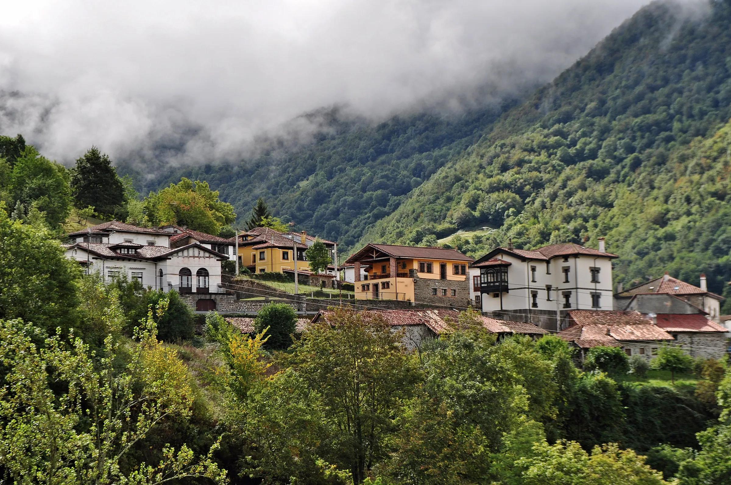
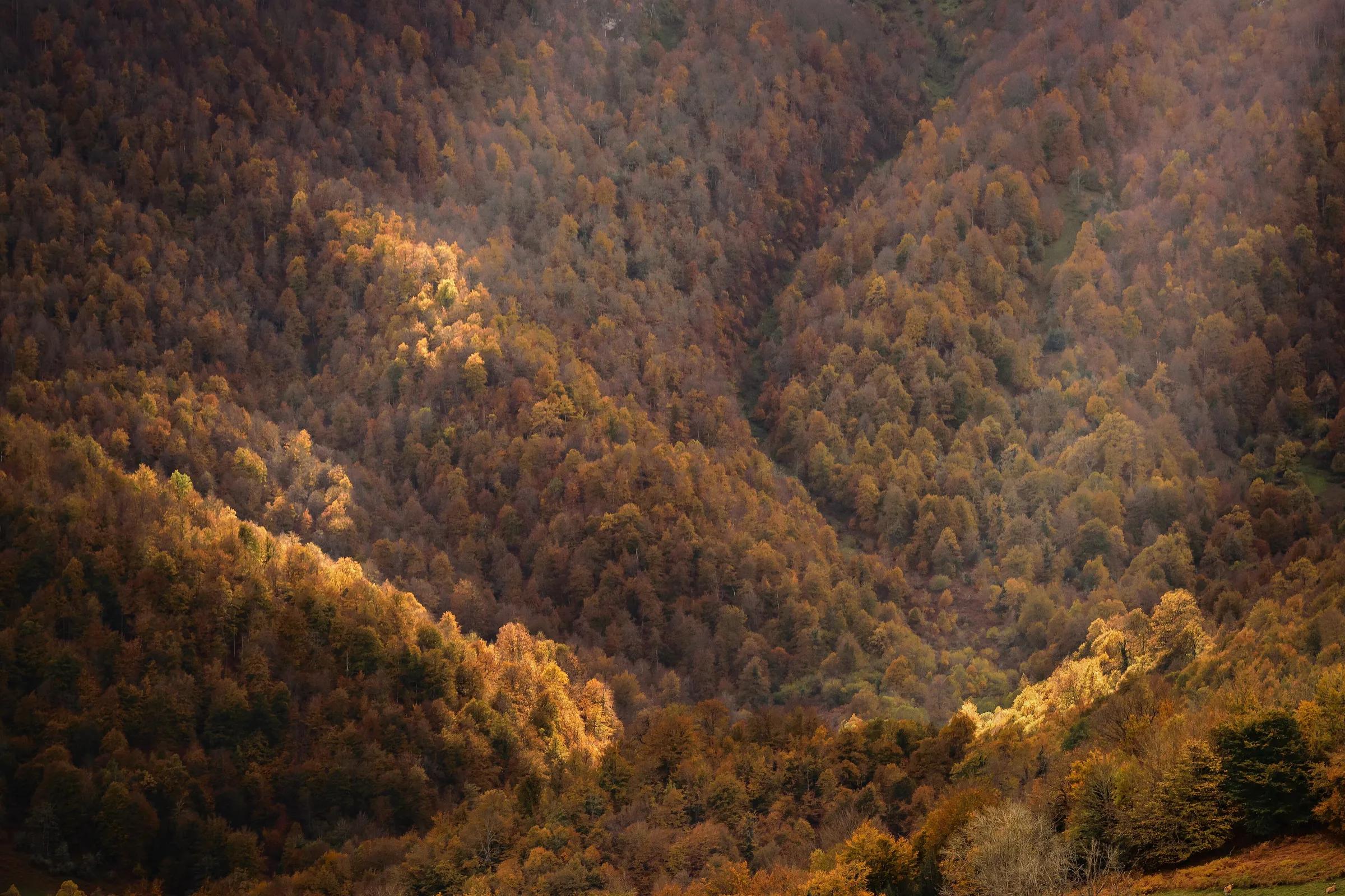
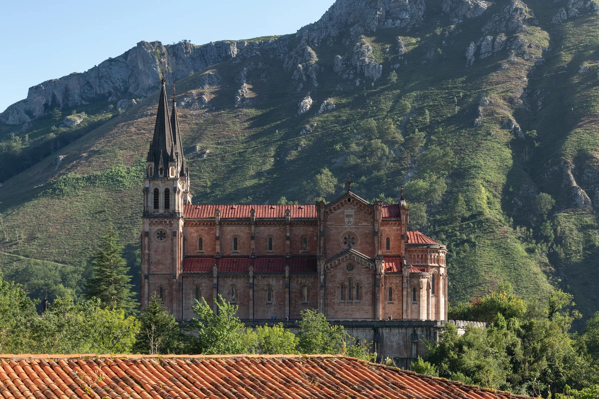
More places nearby
- Pico PierzuMountain · Asturias · 8 kmExplore place
- Pico PileñesMountain · Asturias · 9 kmExplore place
- Catarata de MongayoWaterfall · Asturias · 9 kmExplore place
- Peña TenMountain · León · 10 kmExplore place
- RedesProtected area · Asturias · 10 kmExplore nature park
- Valle de RiosolValley · León · 11 kmExplore place