
No photo yet
Route
Mazobre waterfall path
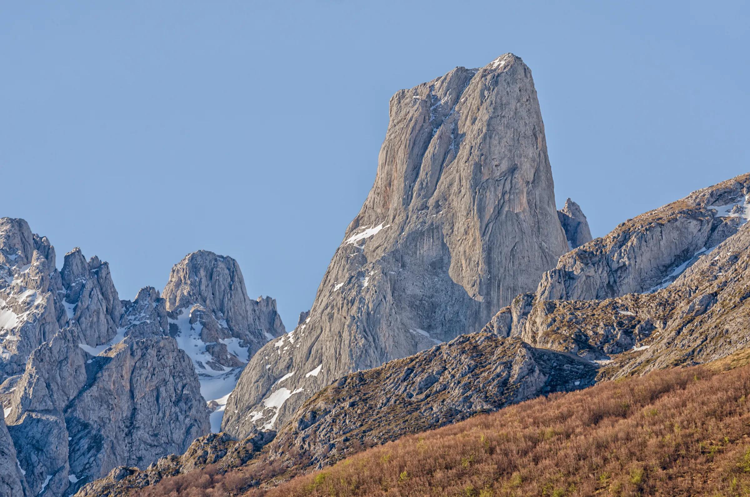
An easy, homologated path in the Montaña Palentina Natural Park that climbs beside the Mazobre stream below the northern cliffs of Espigüete, through pastures often grazed by cattle, to a wooden viewpoint facing the waterfall; a small path drops from it to the foot of the fall. Palencia Turismo: 6.6 km there and back, 250 m of climb, about 2 hours.
Starting point
Starts at Pino Llano (P-217, Cardaño de Abajo) · Ends at Mazobre waterfall viewpoint
Season
- All year, though snow can make it hard going in winter (Palencia Turismo).
Safety
- Snowshoes or other winter gear may be needed in winter.
Nearby
Within 30 km in a straight line. Distances are not travel times: valleys and mountain roads decide those.
More places nearby
- EspigüeteMountain · Palencia · 3 kmExplore place
- Pico MurciaMountain · Palencia · 4 kmExplore place
- Embalse de CamporredondoLake · Palencia · 5 kmExplore place
- Pico CuartasMountain · León · 7 kmExplore place
- Fuentes CarrionasMountain range · Palencia · 7 kmExplore place
- Mojón de Tres ProvinciasMountain · León · 8 kmExplore place