
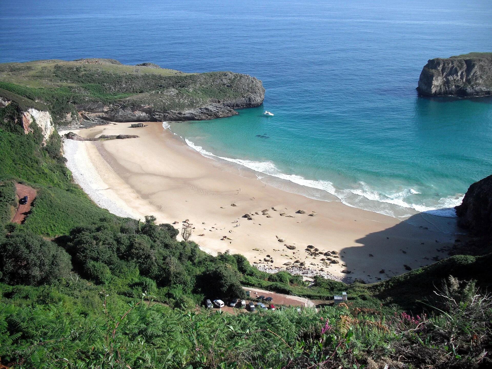
Activity · Hiking
Coastal path from Pendueles to Llanes
A linear walk of about 16.5 km along the cliffs of eastern Asturias, part of the Coastal Path, passing the cove of Vidiago, the Bufones de Arenillas, where seawater shoots up through cracks in the rock on rough days, a wooden bridge over the River Purón and the beach of El Cura. It ends in the historic centre of Llanes, a Site of Cultural Interest.
Davidgr1981 / Wikimedia Commons, CC BY-SA 3.0
Travel, stay and experience
Getting around, where to stay and what to experience around Coastal path from Pendueles to Llanes, from the guide's own records.
Getting around
- Aeropuerto Seve Ballesteros-Santander (SDR) · 66 km in a straight line
- Estación de Unquera · 10 km in a straight line
Where to stay
48 registered places to stay within 10 km (straight line). Nearest:
- Bar Albergue Castiellu · 1 km in a straight line
- Albergue de Peregrinos - Aves de Paso · 1 km in a straight line
- Casa Flor · 1 km in a straight line
Mapped by volunteers on OpenStreetMap; nothing is booked here.
Things to experience
Straight-line distances, not travel times. Tierra Luma shows no availability or prices and takes no bookings.
Where it takes place
From Pendueles to the church of Santa María del Conceyu in Llanes (eastern Asturias).
Safety
- Follow the official track closely: in places it leaves the GR waymarks to stay nearer the sea. Keep well back from the bufones on rough days.
Leave room for discovery
Ideas, not instructions: take what suits your day.
- Food and a break
- Explore the streets of Llanes and find somewhere inviting for lunch.
- If you have time
- Look out for a local speciality in a shop or at the market.
- Check the tide, then walk the shore as it changes.
Related activities
The same kind of activity first, then the nearest (in a straight line).
- Hiking & mountain trails · TrekkingHut-to-hut trekking in the Picos de Europa (Anillo de Picos)Picos de Europa National Park (Asturias, León and Cantabria); Asturian refuges on the ring include Vega de Ario, Vegarredonda, Vega de Urriellu, Jou de los Cabrones and La Terenosa.
- Hiking & mountain trails · HikingHorcados Rojos from the Fuente Dé cable carFrom the upper station of the Fuente Dé cable car into the Central Massif of the Picos de Europa.
- Hiking & mountain trails · HikingWalk from the Fuente Dé cable car across the Puertos de ÁlivaUpper station of the Fuente Dé cable car (El Cable) down to Fuente Dé, Camaleño valley, Liébana.
- Hiking & mountain trails · HikingVega de Ario from the Lakes of CovadongaBuferrera/Lake Ercina car park, Lakes of Covadonga, Cangas de Onís (Picos de Europa National Park).
Places nearby
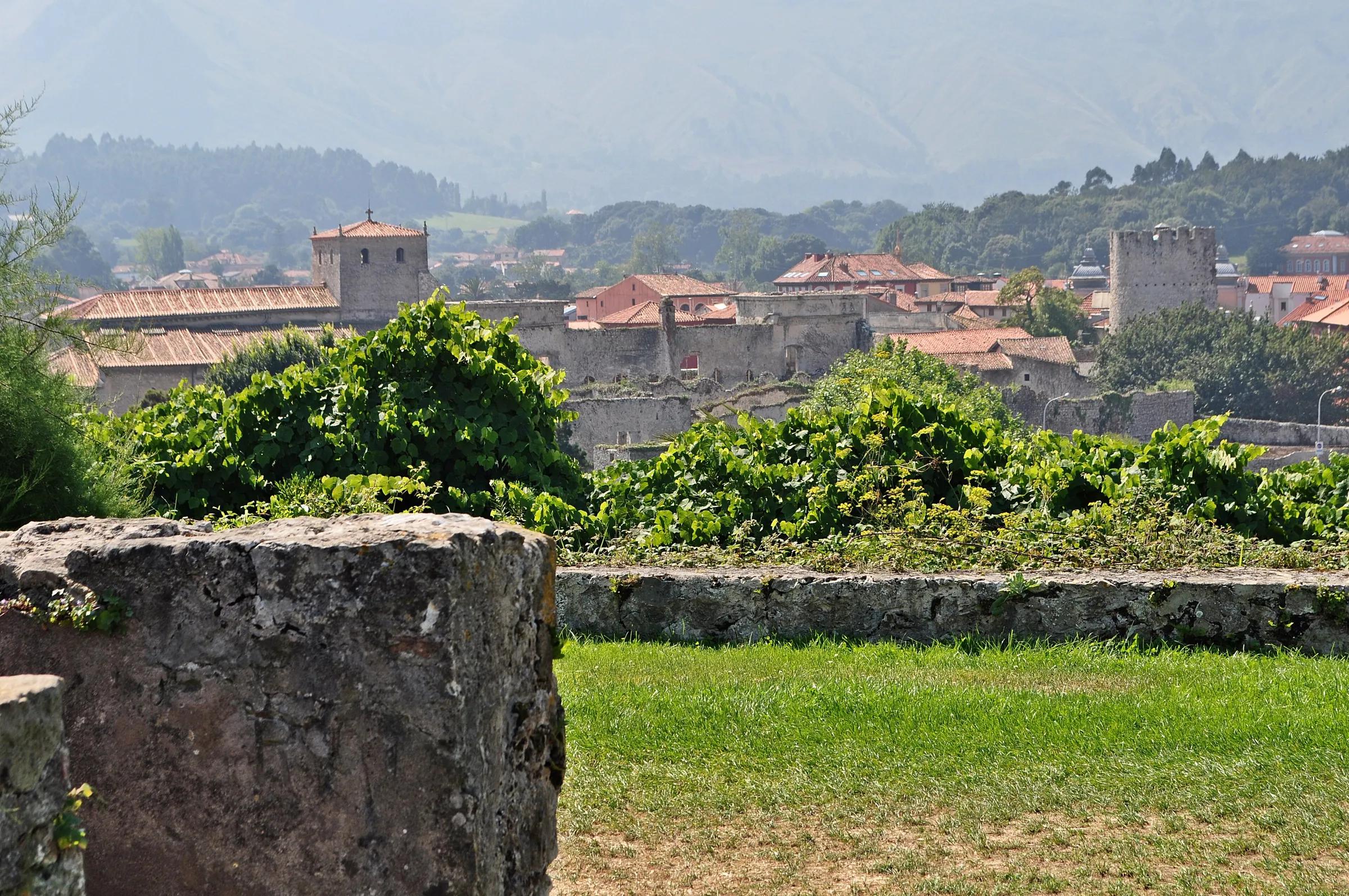
Nearby
Within 30 km in a straight line. Distances are not travel times: valleys and mountain roads decide those.
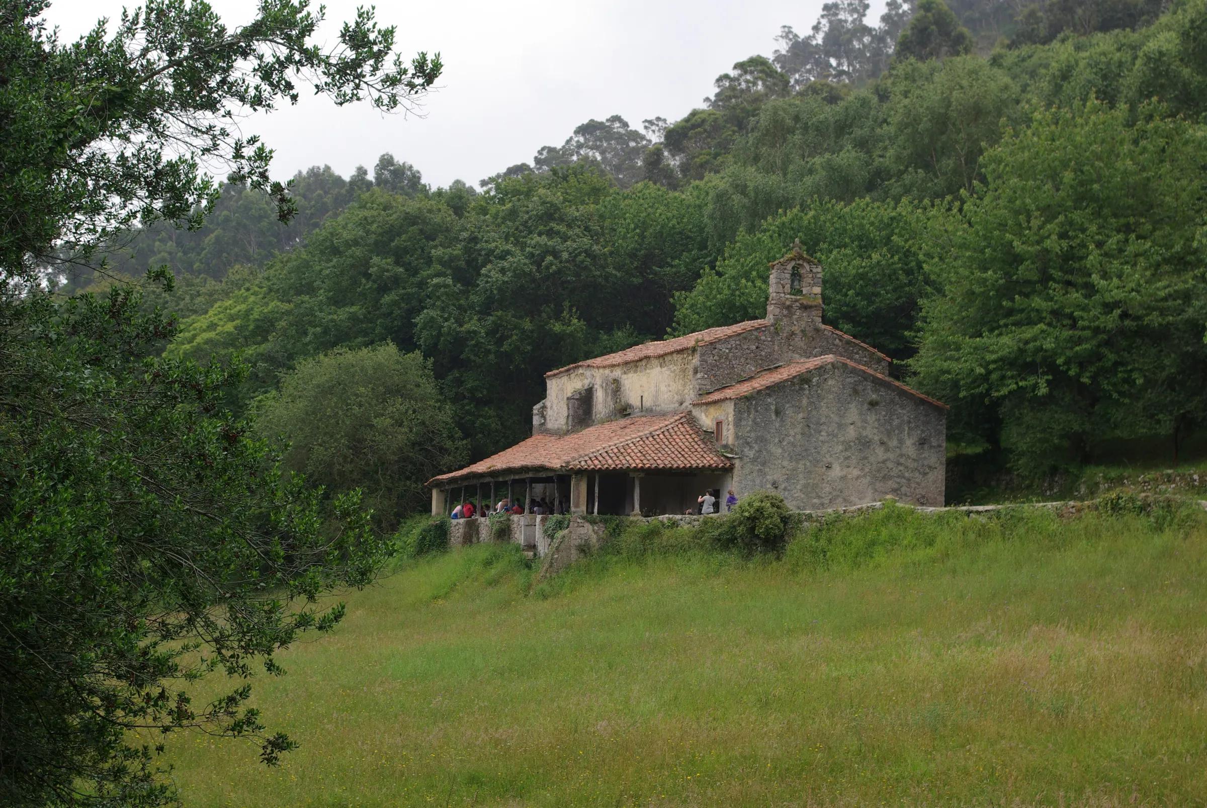
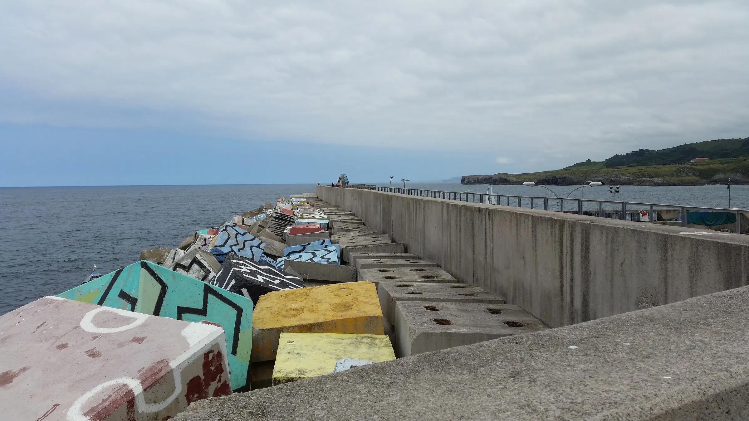
More places nearby
- Playa de PenduelesBeach · Asturias · 1 kmExplore place
- Playas de Entremares y de BuelnaBeach · Asturias · 1 kmExplore place
- Playa La PresaBeach · Asturias · 2 kmExplore place
- Playa de CobijeroBeach · Asturias · 2 kmExplore place
- Playa de VidiagoBeach · Asturias · 2 kmExplore place
- Playa de La AcaciaBeach · Asturias · 4 kmExplore place