
Activity · Trekking
Hut-to-hut trekking in the Picos de Europa (Anillo de Picos)
The Picos de Europa National Park has a good number of mountain refuges, whose approaches are part of the park's trail network; most are wardened for part of the year and offer meals and bunks. The Anillo de Picos is a circular route linking nine of these refuges across the three massifs, with three variants: Vindio (western massif), Extrem (western and central) and Tres Macizos (all three). Each stage starts at one refuge or partner lodging and ends at another, and there is no fixed starting point.
Travel, stay and experience
Getting around, where to stay and what to experience around Hut-to-hut trekking in the Picos de Europa (Anillo de Picos), from the guide's own records.
Getting around
- Aeropuerto Seve Ballesteros-Santander (SDR) · 86 km in a straight line
- Estación de Llanes · 24 km in a straight line
Where to stay
32 registered places to stay within 10 km (straight line). Nearest:
- El Caleyón · 3 km in a straight line
- La Casa del Chiflón · 3 km in a straight line
- El Caprichu de Bulnes · 3 km in a straight line
Mapped by volunteers on OpenStreetMap; nothing is booked here.
Things to experience
Straight-line distances, not travel times. Tierra Luma shows no availability or prices and takes no bookings.
Where it takes place
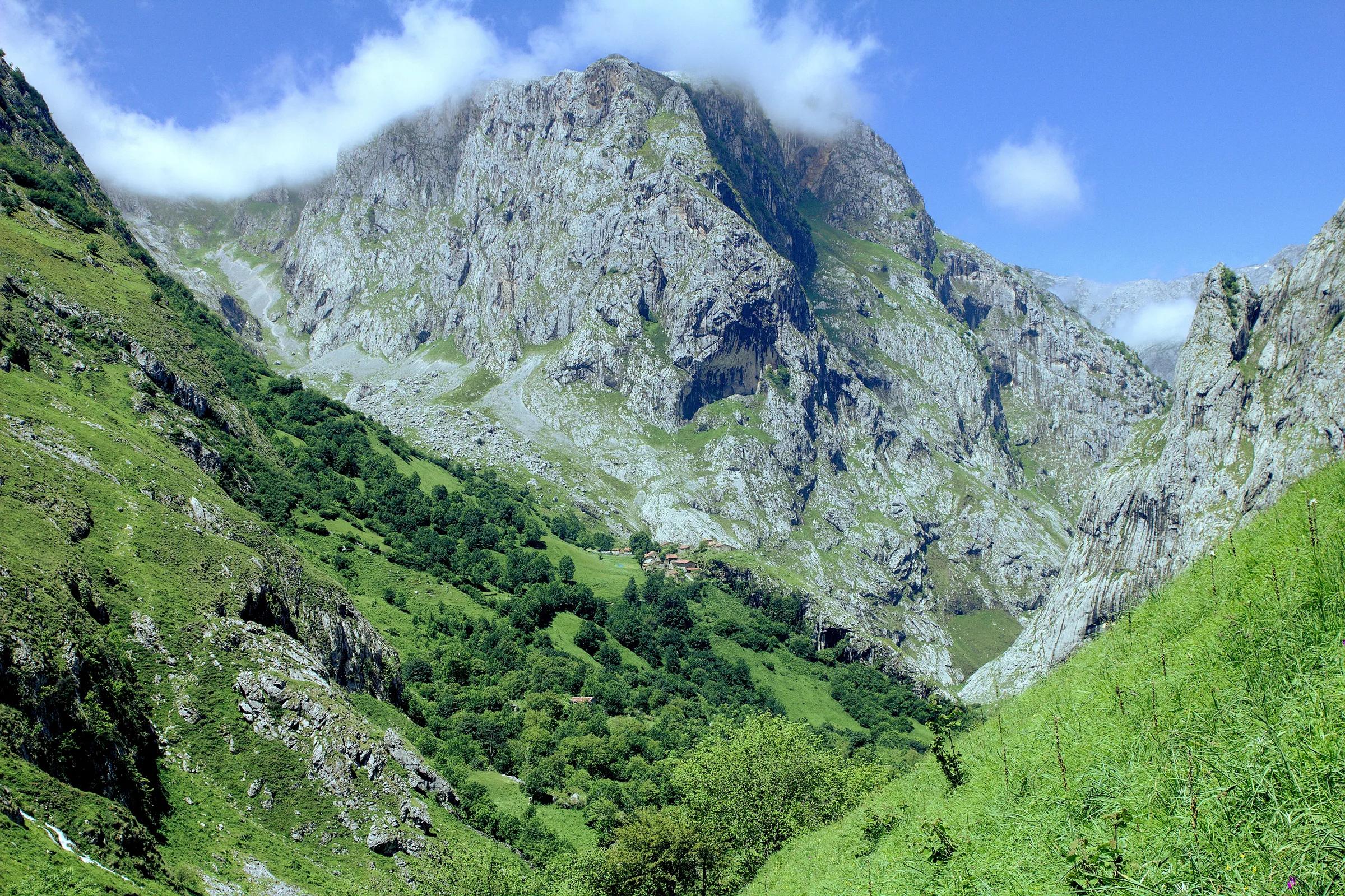
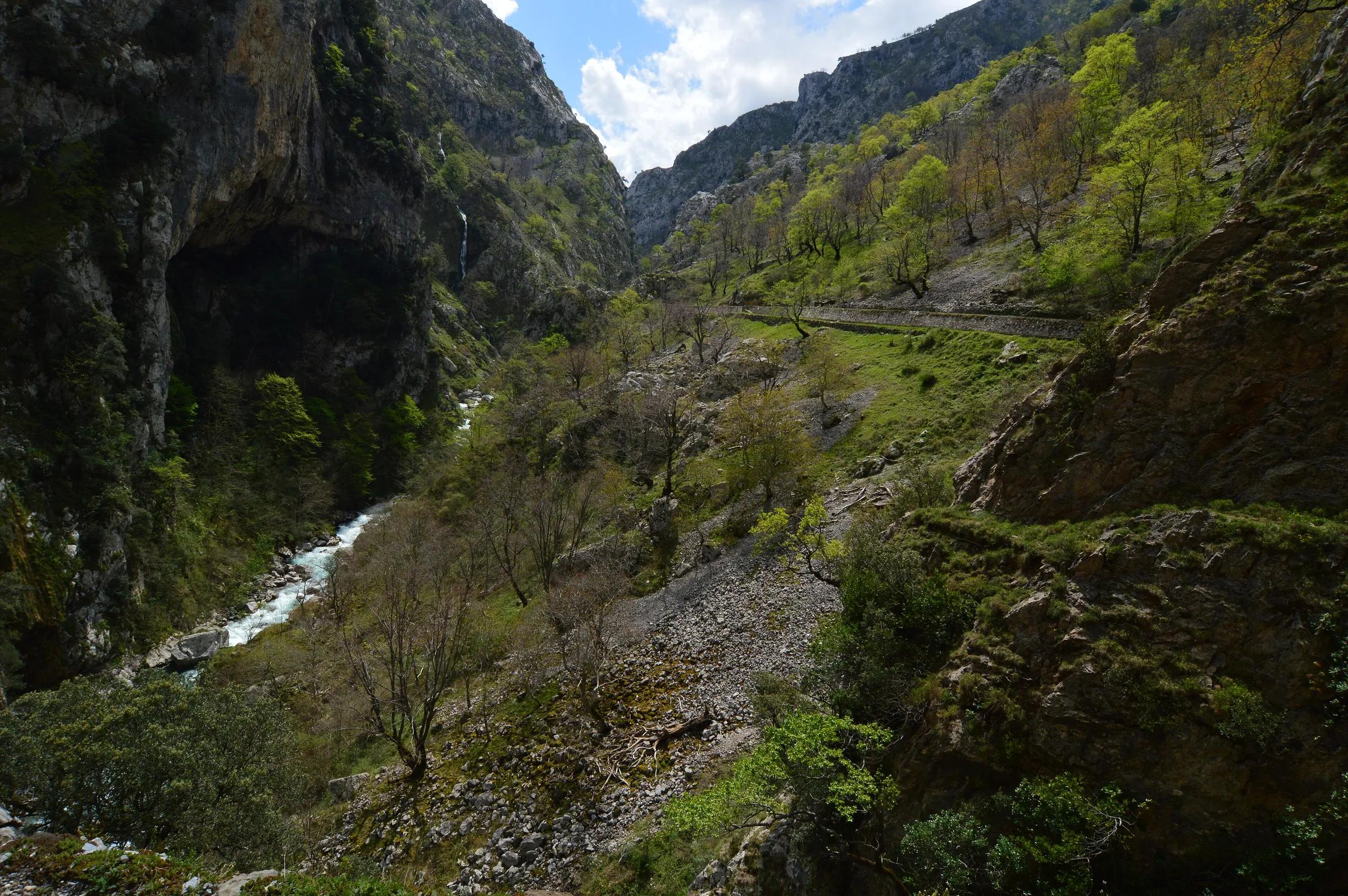
Picos de Europa National Park (Asturias, León and Cantabria); Asturian refuges on the ring include Vega de Ario, Vegarredonda, Vega de Urriellu, Jou de los Cabrones and La Terenosa.
Season
The Anillo's official dates run from 1 June to 15 October.
Safety
- Reserve refuge places in advance; the route organisers advise booking more than 15 days ahead if going independently.
- Carry a map: the route is not always specially waymarked.
- Water is scarce in the Picos and may only be found at the refuges, so carry plenty on each stage.
- Without enough mountain experience, hire a mountain guide; being federated or otherwise insured is recommended. In an accident, call 112.
Visit with care
- Take your rubbish back down to the valley; stay on the paths and avoid noise that disturbs wildlife.
Leave room for discovery
Ideas, not instructions: take what suits your day.
- Food and a break
- For lunch, Bulnes is about 3 km away in a straight line: wander its streets and see what tempts you. Or bring a picnic and stay outdoors.
- If you have time
- Watch how the light moves across the slopes.
- Leave time afterwards to rest and look around.
Related activities
The same kind of activity first, then the nearest (in a straight line).
- Hiking & mountain trails · HikingHorcados Rojos from the Fuente Dé cable carFrom the upper station of the Fuente Dé cable car into the Central Massif of the Picos de Europa.
- Hiking & mountain trails · HikingWalk from the Fuente Dé cable car across the Puertos de ÁlivaUpper station of the Fuente Dé cable car (El Cable) down to Fuente Dé, Camaleño valley, Liébana.
- Hiking & mountain trails · HikingCares Route from Valdeón and CaínLeón side of the Picos de Europa National Park: Posada de Valdeón, Cordiñanes and Caín, continuing through the Cares gorge to Poncebos (Asturias).
- Hiking & mountain trails · HikingVega de Ario from the Lakes of CovadongaBuferrera/Lake Ercina car park, Lakes of Covadonga, Cangas de Onís (Picos de Europa National Park).
Nearby
Within 30 km in a straight line. Distances are not travel times: valleys and mountain roads decide those.
More places nearby
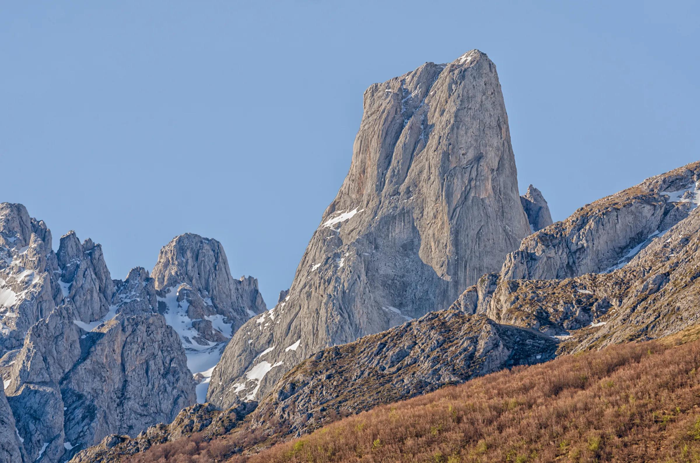
- Neverón de UrrielluMountain · Asturias · 1 kmExplore place
- Torre del Tiro del OsoMountain · León · 2 kmExplore place
- Pico de los CabronesMountain · León · 2 kmExplore place
- Monte VindioMountain · León · 3 kmExplore place
- Torre de los Horcados RojosMountain · Cantabria · 4 kmExplore place
- Aguja de la CanalonaMountain · Cantabria · 4 kmExplore place