
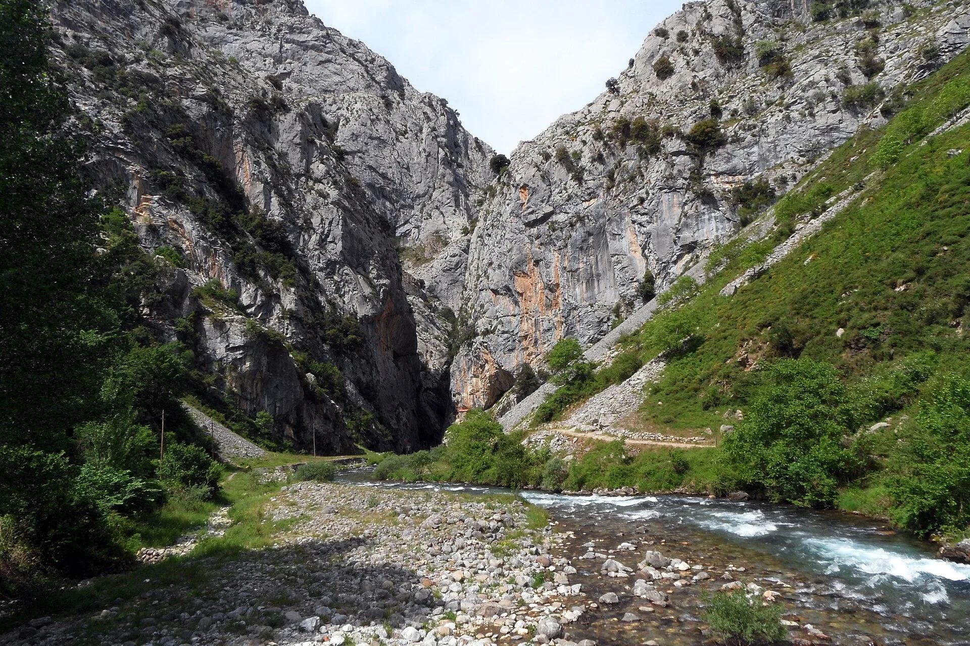
Activity · Hiking
Cares Route from Valdeón and Caín
The Cares route is the best-known trail in the Picos de Europa National Park, running between the central and western massifs. Its longest version starts in Posada de Valdeón and passes Cordiñanes and Caín, in León, before ending at Poncebos in Asturias; from Caín the path is cut into the limestone all the way to Poncebos. The national park gives 21 km, 899 m of descent and 160 m of ascent, and rates it medium: a simple layout but a long route, especially for walkers with little preparation.
Falk2 / Wikimedia Commons, CC BY-SA 4.0
Travel, stay and experience
Getting around, where to stay and what to experience around Cares Route from Valdeón and Caín, from the guide's own records.
Getting around
- Aeropuerto de León (LEN) · 86 km in a straight line
- Estación de autobuses de Cangas de Onís · 27 km in a straight line
Where to stay
32 registered places to stay within 10 km (straight line). Nearest:
- BERMEJA II · 1 km in a straight line
- BERMEJA I · 1 km in a straight line
- FLORENCIA · 1 km in a straight line
From the official tourism register; listed is not recommended, and nothing is booked here.
Things to experience
Straight-line distances, not travel times. Tierra Luma shows no availability or prices and takes no bookings.
Where it takes place
León side of the Picos de Europa National Park: Posada de Valdeón, Cordiñanes and Caín, continuing through the Cares gorge to Poncebos (Asturias).
Safety
- Between Caín and Poncebos the path runs beside a drop with no side protection, and stones can fall, dislodged naturally or by grazing animals.
- There is no drinking water along the route: carry enough water and wear mountain boots.
- It is a mountain path with loose stones; walkers without training are advised to do only part of it and to plan the return, as the full route is one way.
- Cycling is not allowed on this trail.
Leave room for discovery
Ideas, not instructions: take what suits your day.
- Food and a break
- Explore the streets of Posada de Valdeón and find somewhere inviting for lunch.
- If you have time
- Look out for a local speciality in a shop or at the market.
- Stop at a bend in the path and just listen.
Related activities
The same kind of activity first, then the nearest (in a straight line).
- Hiking & mountain trails · HikingHorcados Rojos from the Fuente Dé cable carFrom the upper station of the Fuente Dé cable car into the Central Massif of the Picos de Europa.
- Hiking & mountain trails · HikingWalk from the Fuente Dé cable car across the Puertos de ÁlivaUpper station of the Fuente Dé cable car (El Cable) down to Fuente Dé, Camaleño valley, Liébana.
- Hiking & mountain trails · TrekkingHut-to-hut trekking in the Picos de Europa (Anillo de Picos)Picos de Europa National Park (Asturias, León and Cantabria); Asturian refuges on the ring include Vega de Ario, Vegarredonda, Vega de Urriellu, Jou de los Cabrones and La Terenosa.
- Hiking & mountain trails · HikingVega de Ario from the Lakes of CovadongaBuferrera/Lake Ercina car park, Lakes of Covadonga, Cangas de Onís (Picos de Europa National Park).
Nearby
Within 30 km in a straight line. Distances are not travel times: valleys and mountain roads decide those.
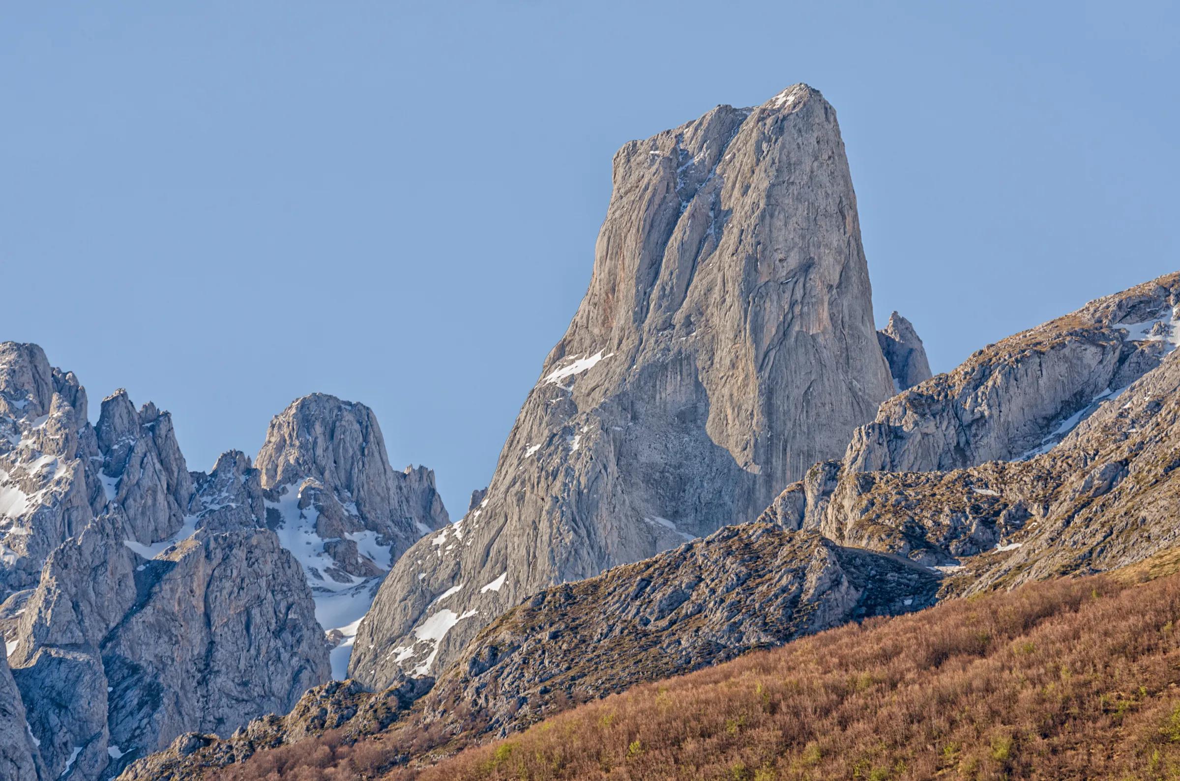
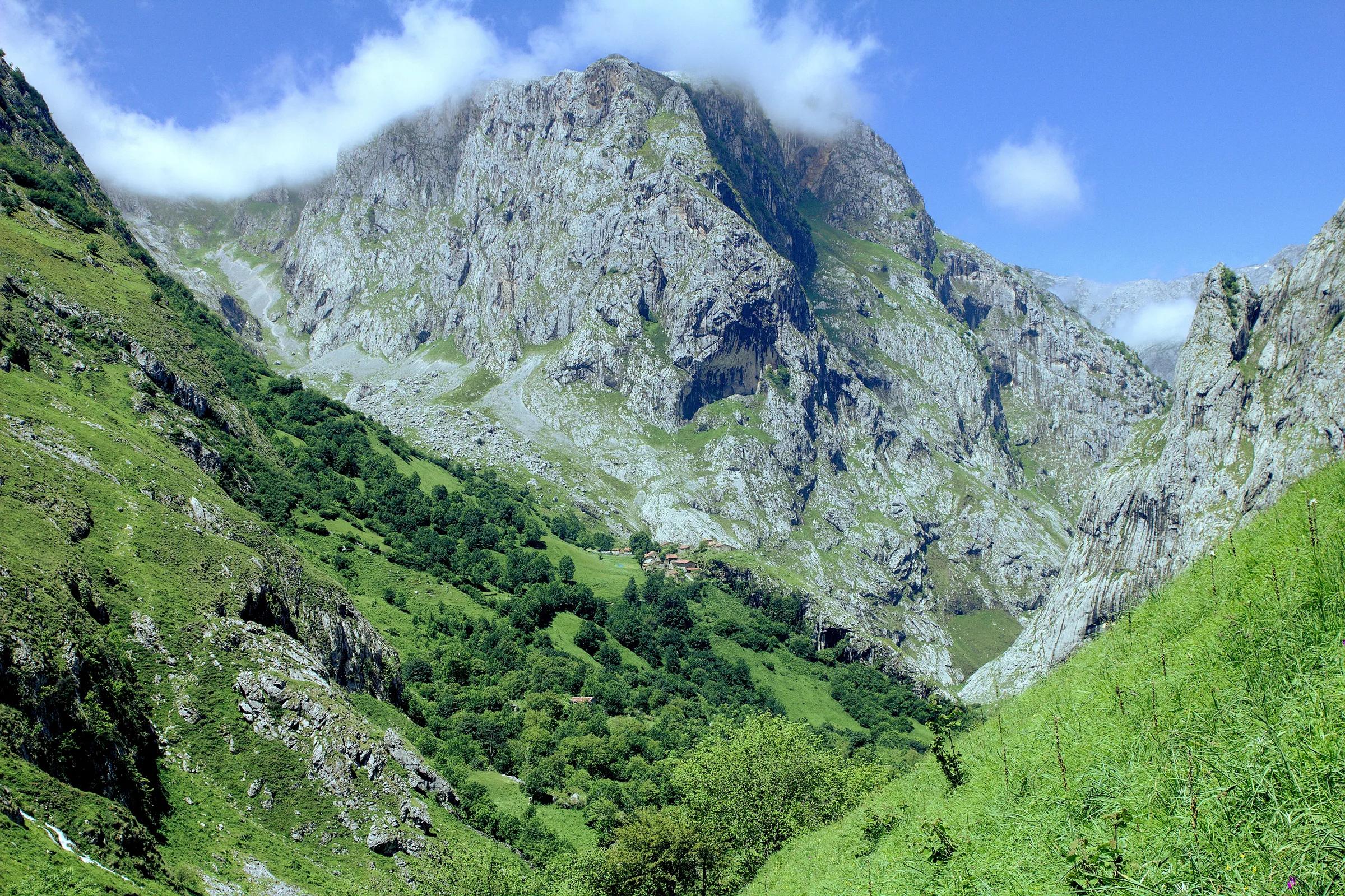
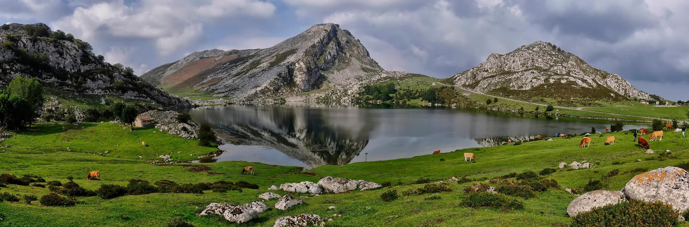
More places nearby
- Torre del FrieroMountain · León · 5 kmExplore place
- Torre del Hoyo ChicoMountain · León · 5 kmExplore place
- Torre del Hoyo de LiordesMountain · León · 5 kmExplore place
- Torre de SalinasMountain · León · 6 kmExplore place
- Torre de PeñalbaMountain · León · 6 kmExplore place
- Torre SantaMountain · León · 6 kmExplore place