
Activity · Hiking
Horcados Rojos from the Fuente Dé cable car
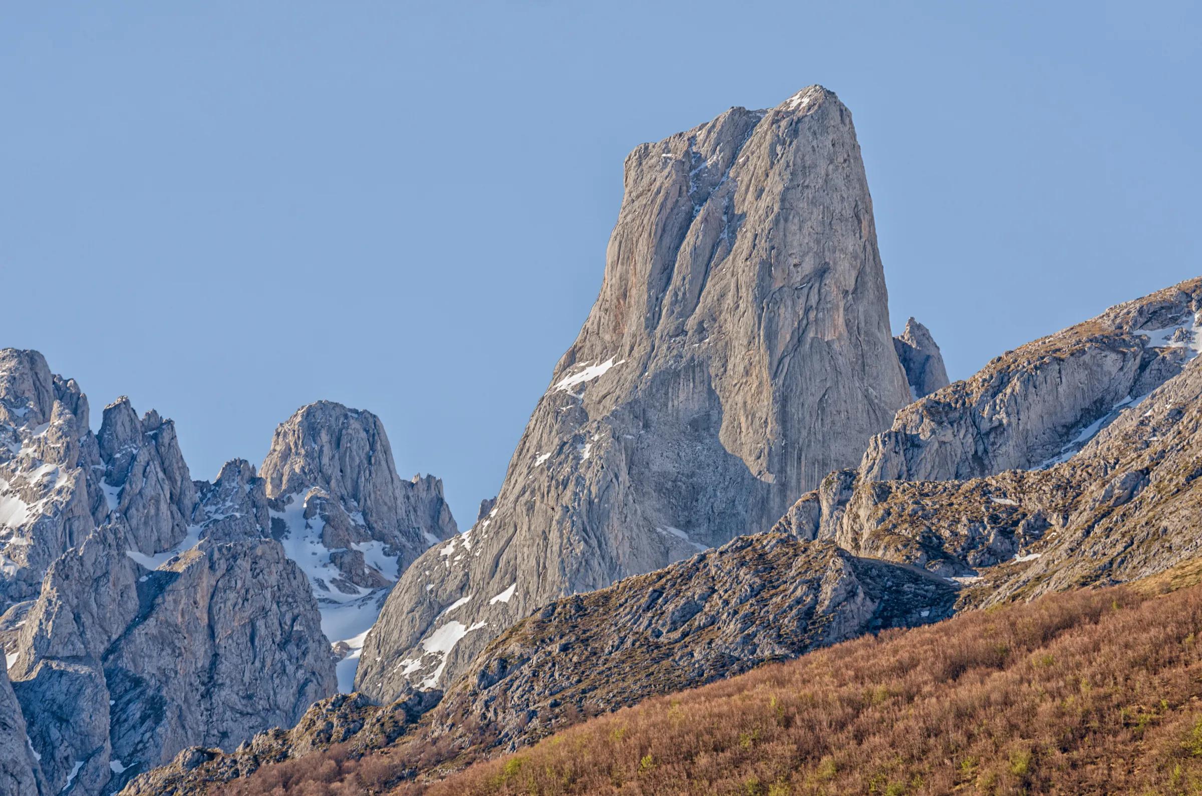
A mountain path from the upper station of the Fuente Dé cable car leads to the Horcados Rojos, a balcony inside the Central Massif of the Picos de Europa with views of its limestone peaks. The route is linear, so you return the same way, and its last stretch up to the col is a steep, stony trail. The cable car company says reaching the col and coming back is enough, and leaves the summit to well-prepared mountaineers.
Travel, stay and experience
Getting around, where to stay and what to experience around Horcados Rojos from the Fuente Dé cable car, from the guide's own records.
Getting around
- Aeropuerto Seve Ballesteros-Santander (SDR) · 86 km in a straight line
- Estación de Llanes · 31 km in a straight line
Where to stay
23 registered places to stay within 10 km (straight line). Nearest:
- Parador Nacional de Fuente Dé · 1 km in a straight line
- Rebeco · 1 km in a straight line
- Camping El Redondo · 1 km in a straight line
Mapped by volunteers on OpenStreetMap; nothing is booked here.
Things to experience
Straight-line distances, not travel times. Tierra Luma shows no availability or prices and takes no bookings.
Where it takes place
From the upper station of the Fuente Dé cable car into the Central Massif of the Picos de Europa.
Safety
- This is high-mountain terrain with a hard final section: suitable equipment and preparation are needed, and the route should not be attempted in snow, ice or fog.
- The national park advises never walking alone, or else leaving word of your route; mobile coverage is limited, although the 112 emergency number reaches much more widely.
- The risk of falling stones is always present and rises on days of heavy rain or strong wind and the days after.
- Check before you go that the cable car is running.
Visit with care
- Dogs must always be kept on a lead inside the Picos de Europa National Park.
Leave room for discovery
Ideas, not instructions: take what suits your day.
- Food and a break
- For lunch, Posada de Valdeón is about 10 km away in a straight line: wander its streets and see what tempts you. Or bring a picnic and stay outdoors.
- If you have time
- Watch how the light moves across the slopes.
- Leave time afterwards to rest and look around.
Related activities
The same kind of activity first, then the nearest (in a straight line).
- Hiking & mountain trails · HikingWalk from the Fuente Dé cable car across the Puertos de ÁlivaUpper station of the Fuente Dé cable car (El Cable) down to Fuente Dé, Camaleño valley, Liébana.
- Hiking & mountain trails · TrekkingHut-to-hut trekking in the Picos de Europa (Anillo de Picos)Picos de Europa National Park (Asturias, León and Cantabria); Asturian refuges on the ring include Vega de Ario, Vegarredonda, Vega de Urriellu, Jou de los Cabrones and La Terenosa.
- Hiking & mountain trails · HikingCares Route from Valdeón and CaínLeón side of the Picos de Europa National Park: Posada de Valdeón, Cordiñanes and Caín, continuing through the Cares gorge to Poncebos (Asturias).
- Hiking & mountain trails · HikingVega de Ario from the Lakes of CovadongaBuferrera/Lake Ercina car park, Lakes of Covadonga, Cangas de Onís (Picos de Europa National Park).
Nearby
Within 30 km in a straight line. Distances are not travel times: valleys and mountain roads decide those.
More places nearby
- Fuente DéLandmark · Cantabria · 1 kmView details
- Peña RemoñaMountain · Cantabria · 1 kmExplore place
- Picos de ValdecoroMountain · Cantabria · 2 kmExplore place
- Pico de la PadiornaMountain · Cantabria · 2 kmExplore place
- Peña OlvidadaMountain · Cantabria · 3 kmExplore place
- Peña ViejaMountain · Cantabria · 3 kmExplore place