
Activity · Trekking
GR 1 Sendero Histórico across the Montaña Palentina
The GR 1, a long-distance trail of over 1,500 km from Empúries to Finisterre, crosses northern Palencia for about 85 km, mostly inside the Montaña Palentina Natural Park. Its stages link Salcedillo, Brañosera, Estalaya, Cervera de Pisuerga, Triollo and Camporredondo before reaching Velilla del Río Carrión, with about 2,650 m of total ascent. It is waymarked and homologated, rated moderate, and best walked from March to early November.
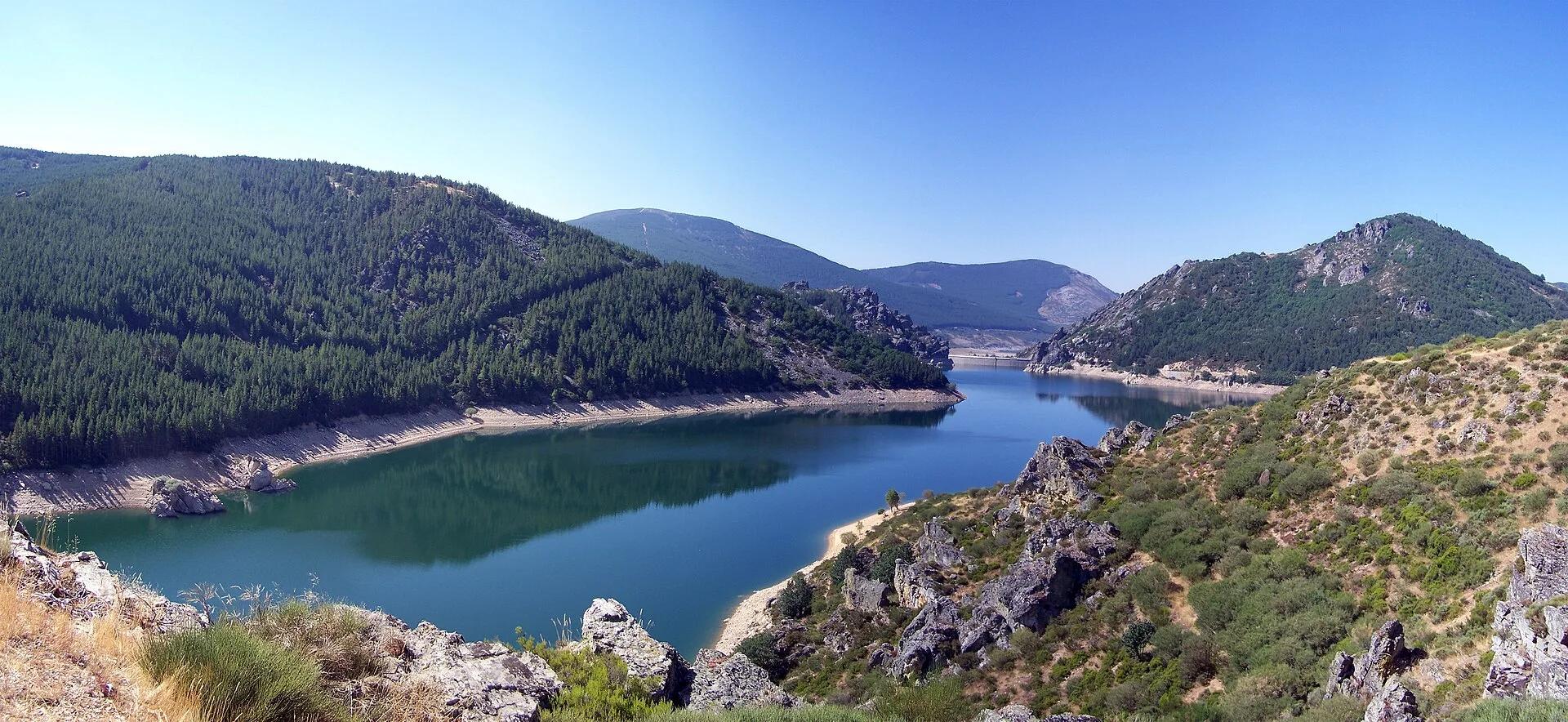
Alejandro Polanco / Wikimedia Commons, CC BY 3.0
Travel, stay and experience
Getting around, where to stay and what to experience around GR 1 Sendero Histórico across the Montaña Palentina, from the guide's own records.
Getting around
- Aeropuerto Seve Ballesteros-Santander (SDR) · 83 km in a straight line
- Estación de Aguilar de Campoo · 23 km in a straight line
Where to stay
25 registered places to stay within 10 km (straight line). Nearest:
- ALMIREZ · 1 km in a straight line
- EL RESBALON · 1 km in a straight line
- PINEDA · 1 km in a straight line
From the official tourism register; listed is not recommended, and nothing is booked here.
Things to experience
Straight-line distances, not travel times. Tierra Luma shows no availability or prices and takes no bookings.
Where it takes place
Montaña Palentina Natural Park, from Salcedillo in the east to Velilla del Río Carrión in the west.
Safety
- In winter the route is hard going because of harsh weather and likely snow on parts of the itinerary.
Leave room for discovery
Ideas, not instructions: take what suits your day.
- Food and a break
- For lunch, Cervera de Pisuerga is about 5 km away in a straight line: wander its streets and see what tempts you. Or bring a picnic and stay outdoors.
- If you have time
- Stop at a bend in the path and just listen.
- Look for signs of wildlife (tracks, feathers, birdsong) without disturbing it.
Related activities
The same kind of activity first, then the nearest (in a straight line).
- Hiking & mountain trails · HikingFuente Cobre trail to the source of the PisuergaSanta María de Redondo (La Pernía), in the Montaña Palentina Natural Park, northern Palencia.
- Hiking & mountain trails · HikingLas Tuerces rock labyrinth walkVillaescusa de las Torres, between Villaescusa and Mave, near Aguilar de Campoo (Palencia), next to the Cañón de la Horadada.
- Hiking & mountain trails · HikingHorcados Rojos from the Fuente Dé cable carFrom the upper station of the Fuente Dé cable car into the Central Massif of the Picos de Europa.
- Hiking & mountain trails · HikingWalk from the Fuente Dé cable car across the Puertos de ÁlivaUpper station of the Fuente Dé cable car (El Cable) down to Fuente Dé, Camaleño valley, Liébana.
Nearby
Within 30 km in a straight line. Distances are not travel times: valleys and mountain roads decide those.
More places nearby
- Embalse de CerveraLake · Palencia · 3 kmExplore place
- Cervera de PisuergaTown · Palencia · 5 kmDiscover town
- Valle de CampooValley · Palencia · 12 kmExplore place
- ValdecebollasMountain · Palencia · 16 kmExplore place
- Cueva de los BurrosCave · Palencia · 16 kmExplore place
- Embalse de AguilarLake · Palencia · 17 kmExplore place