
Route · Asturias
Ruta del Alba
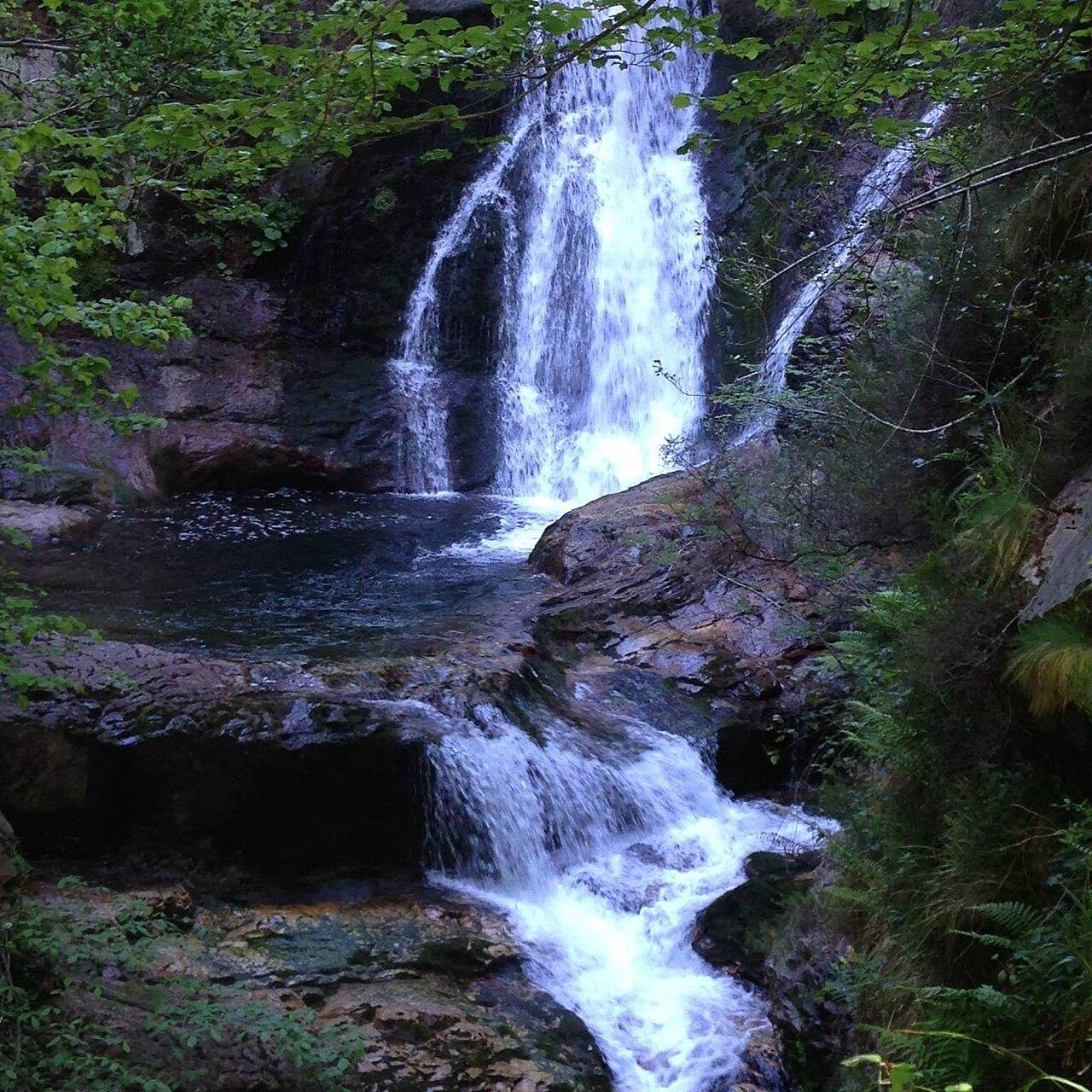
A narrow gorge cut by the river Alba in the Redes natural park (Sobrescobio), protected as a Natural Monument and walked on an easy path with little climbing from Soto de Agues.
Bengon45 / Wikimedia Commons, CC BY-SA 4.0
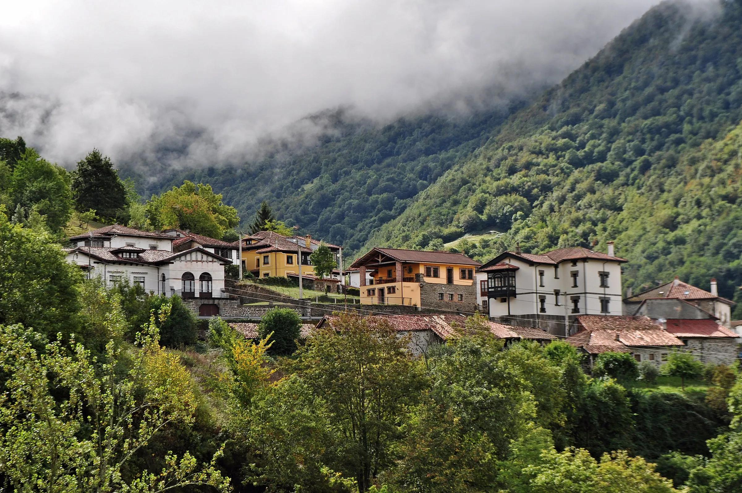
The monument covers the river and its gorge between Soto and the headwaters at Cruz de los Ríos; in the thaw the walls run with waterfalls. Soto de Agues is a village of hórreos and galleried houses. Distance and timing figures differ between sources, so none is given here.
Pinned at the point Turismo Asturias publishes for the Natural Monument, near Soto de Agues.
Highlights
- Hiking
- Old track once used to carry iron out of the Carmen mine
- Old stone bridges of La Pontona and La Resquiebra in the Foces del Llaímo
- Otters, golden eagles, dippers and trout along the river
Leave room for discovery
Ideas, not instructions: take what suits your day.
- Food and a break
- There is no town close by in our records: bring food and water for the day, and take your rubbish home.
- If you have time
- Turn back whenever you like: the view is yours at any height.
- Bring binoculars, keep your distance and let the animals come into view.
Activities here
Things to do nearby
Activities whose place lies within 25 km in a straight line (not a road distance).
- Mountain biking · 9 km awayMountain biking: Senderos del Carbón Flow Trail, LavianaIn the municipality of Laviana, in the Nalón river basin; the circular route starts and ends at the Molín de La Chalana.
- Food · 10 km awayQuesu Casín cheese fair in CasoCouncil of Caso, in the Redes Natural Park.
- Horse riding · 10 km awayHorse riding in the Redes Natural ParkRedes Natural Park, Caso and Sobrescobio.
- Skiing · 10 km awaySnowshoeing in the Redes Natural ParkRedes Natural Park, Caso and Sobrescobio (central-eastern Asturias).
- Wildlife · 10 km awayThe red deer rut (berrea) in Aller and RedesAller (central Asturias) and the Redes Natural Park (Sobrescobio and Caso).
- Mountain biking · 14 km awayMountain biking: Cordal de Coto Bello, AllerIn the municipality of Aller; the route starts and ends at the Coto Bello viewpoint, reached by road from Corigos.
Travel, stay and experience
Getting around, where to stay and what to experience around Ruta del Alba, from the guide's own records.
Getting around
- Aeropuerto de Asturias (OVD) · 61 km in a straight line
- Estación de Arriondas · 32 km in a straight line
Where to stay
13 registered places to stay within 10 km (straight line). Nearest:
- Albergue Municipal El Alba · 2 km in a straight line
- Posada Cantu L'Osu · 2 km in a straight line
- Hotel Rural Casa Lao · 2 km in a straight line
Mapped by volunteers on OpenStreetMap; nothing is booked here.
Things to experience
Straight-line distances, not travel times. Tierra Luma shows no availability or prices and takes no bookings.
How to get there
Transport and visitor services nearby
- Punto de Información Turística de FelechosaTourist office · 10 km
- Oficina de turismo de NavaTourist office · 19 km
- Oficina de turismo de PiloñaTourist office · 20 km
- Oficina de turismo de LangreoTourist office · 22 km
- Centro de Recepción de Visitantes de AllerTourist office · 23 km
- Oficina de turismo de MieresTourist office · 25 km
Straight-line distances, never travel times.
Protected as: Natural Monument; Redes Natural Park and Biosphere Reserve
Related places
Getting here & services nearby
The nearest published airport, stations and visitor centres, in a straight line from this place. Check routes and timetables with the operator.
- Aeropuerto de Asturias (OVD)Airport · 61 kmView details
- Estación de ArriondasTrain station · 32 kmView details
- Estación de autobuses de Cangas de OnísBus station · 34 kmView details
- Estación de OviedoTrain station · 37 kmView details
- Punto de Información Turística de FelechosaTourist office · 10 kmView details
- Oficina de turismo de NavaTourist office · 19 kmView details
- Oficina de turismo de PiloñaTourist office · 20 kmView details
- Oficina de turismo de LangreoTourist office · 22 kmView details
Nearby
Within 30 km in a straight line. Distances are not travel times: valleys and mountain roads decide those.
More places nearby
- Museo de la ApiculturaMuseum · Asturias · 6 kmView details
- Cueva DeboyoCave · Asturias · 9 kmExplore place
- RedesProtected area · Asturias · 10 kmExplore nature park
- Pico TorresMountain · Asturias · 13 kmExplore place
- Pico Tres ConcejosMountain · Asturias · 13 kmExplore place
- Lago UbalesLake · Asturias · 14 kmExplore place
Continue exploring
- All places in Asturias
- About Asturias
- Rivers, lakes & waterfalls
- Mountains & valleys
- Forests & nature parks