
Protected area · Cantabria
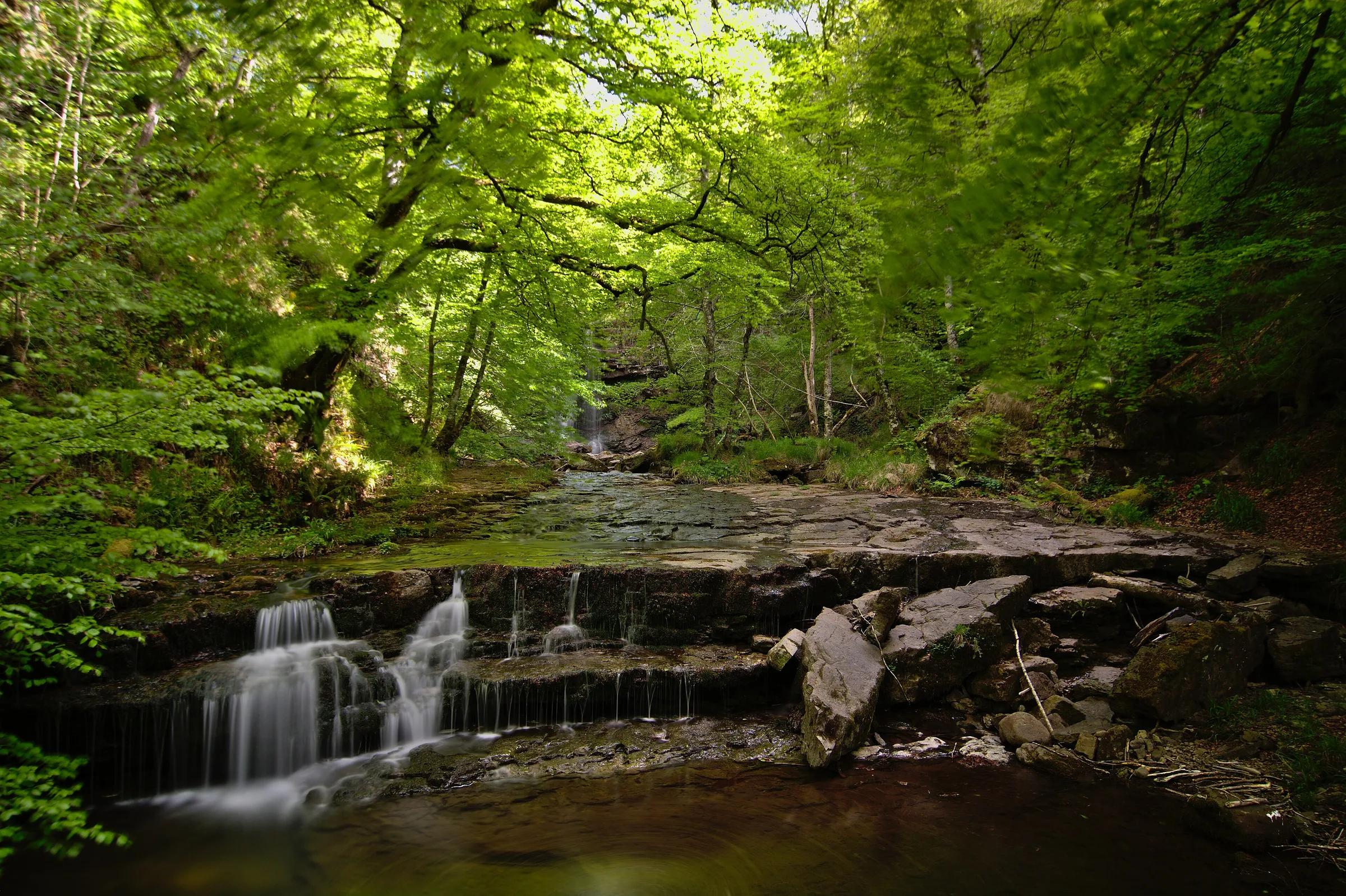
Parque Natural Saja-Besaya
Some 24,500 hectares of wooded valleys between the rivers Saja and Besaya, protected since 1988.
María del Milagro Bolado Tirado / Wikimedia Commons, CC BY-SA 4.0
The park reaches into six municipalities of central-western Cantabria, from Cabuérniga to Campoo de Suso.
Pinned at a point inside the area, not at an entrance or a car park.
Leave room for discovery
Ideas, not instructions: take what suits your day.
- Food and a break
- For lunch, Bárcena Mayor is about 1 km away in a straight line: wander its streets and see what tempts you. Or bring a picnic and stay outdoors.
- If you have time
- Watch how the light moves across the slopes.
- Bring binoculars, keep your distance and let the animals come into view.
Things to do nearby
Activities whose place lies within 25 km in a straight line (not a road distance).
- Skiing · 20 km awaySkiing at Alto CampooHermandad de Campoo de Suso, 24 km from Reinosa, at the head of the Campoo valley.
- Snowboarding · 20 km awaySnowboarding and the Alto Campoo snowparkAlto Campoo ski resort, Hermandad de Campoo de Suso, 24 km from Reinosa.
- Cycling · 22 km awayCycling the Pas GreenwayBetween Alceda-Ontaneda (Corvera de Toranzo) and Astillero, along the Pas valley.
- Caving · 23 km awayChufín cave by torchlightRiclones (Rionansa), near the confluence of the Nansa and Lamasón; about 30 minutes on foot along a track and path from the visitor centre in the old Riclones school.
- Via ferrata · 23 km awayEl Soplao mine via ferrataLa Florida mines at El Soplao (Herrerías, Valdáliga and Rionansa); the mine visit meets at Plaza del Monte, not at the cave complex.
- Hiking · 24 km awayFuente Cobre trail to the source of the PisuergaSanta María de Redondo (La Pernía), in the Montaña Palentina Natural Park, northern Palencia.
Travel, stay and experience
Getting around, where to stay and what to experience around Parque Natural Saja-Besaya, from the guide's own records.
Getting around
- Aeropuerto Seve Ballesteros-Santander (SDR) · 43 km in a straight line
- Estación de Unquera · 36 km in a straight line
Where to stay
2 registered places to stay within 10 km (straight line). Nearest:
- Posada La Colodra · 5 km in a straight line
- Mirador Peña Colsa · 7 km in a straight line
Mapped by volunteers on OpenStreetMap; nothing is booked here.
Things to experience
Straight-line distances, not travel times. Tierra Luma shows no availability or prices and takes no bookings.
How to get there
Transport and visitor services nearby
- Estación de UnqueraTrain station · 36 km
- Oficina de turismo de Peñamellera BajaTourist office · 37 km
- Oficina de turismo de RibadedevaTourist office · 37 km
Straight-line distances, never travel times.
Protected as: Natural Park (1988)
Getting here & services nearby
The nearest published airport, stations and visitor centres, in a straight line from this place. Check routes and timetables with the operator.
Nearby
Within 30 km in a straight line. Distances are not travel times: valleys and mountain roads decide those.
More places nearby
- Bárcena MayorVillage · Cantabria · 1 kmDiscover village
- Alto AbedulesMountain · Cantabria · 7 kmExplore place
- Valle de IguñaValley · Cantabria · 11 kmExplore place
- Castillo de ArgüesoLandmark · Cantabria · 13 kmView details
- Valle de ToranzoValley · Cantabria · 14 kmExplore place
- Valle del SajaValley · Cantabria · 14 kmExplore place