
 Falk2 / Wikimedia Commons, CC BY-SA 4.0
Adventure guide
Fuente Dé and the high Picos
Four minutes in a cable car, and the valley of Liébana falls away below a wall of rock. Above it: the pastures of Áliva, the red crags of Horcados Rojos, and weather that decides everything.
6 min read· By the Tierra Luma editors
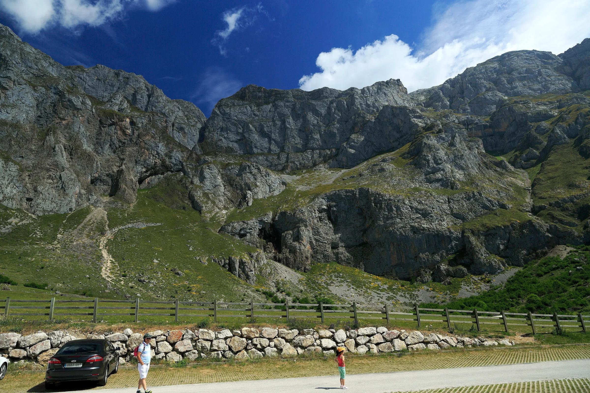
At the head of the valley of the Deva the road simply stops. Ahead rises a curved wall of grey limestone, hundreds of metres high, its upper edge often lost in cloud. A thin cable runs up it, and every few minutes a small cabin detaches from the valley station and slides up the face, shrinking until it disappears over the rim. This is Fuente Dé, and that cable is the quickest door there is into the central massif of the Picos de Europa.
The Picos are, in the words of Spain's national parks network, the largest limestone formation in Atlantic Europe, a landscape of karst, chasms and glacial hollows where chamois graze and vultures and golden eagles ride the air. Fuente Dé is on its Cantabrian, southern side, in the municipality of Camaleño. This guide covers the cable car, the classic walk across the Puertos de Áliva, and the climb to Horcados Rojos, which is for experienced mountain walkers only.
Highlights
The places in this story
- Fuente DéA cable car up a sheer wall to the high plateau of the central Picos.
- Torre de los Horcados RojosTorre de los Horcados Rojos is a mountain in Camaleño, Cantabria. Facts from Wikidata; opening times and prices are on the official website where there is one.
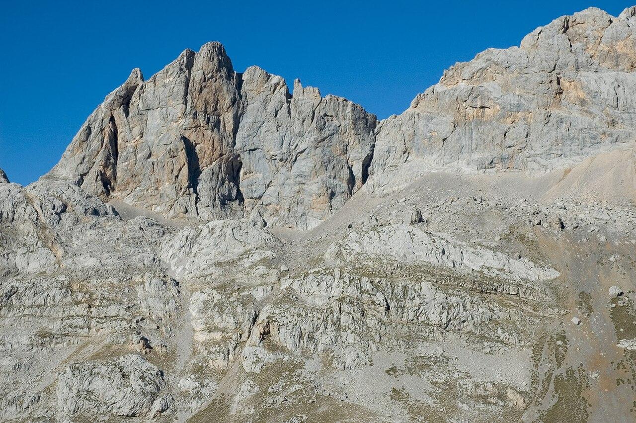
- Peña ViejaPeña Vieja is a mountain in Camaleño, Cantabria. Facts from Wikidata; opening times and prices are on the official website where there is one.
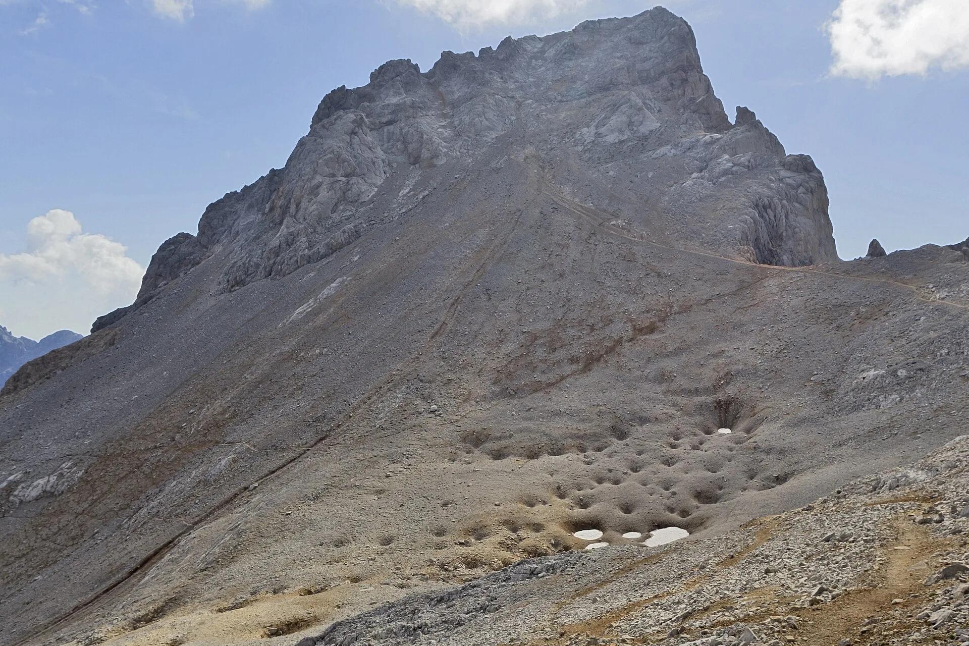
A long descent tires the knees: it is a full day out for most people, not a stroll.
The cable car
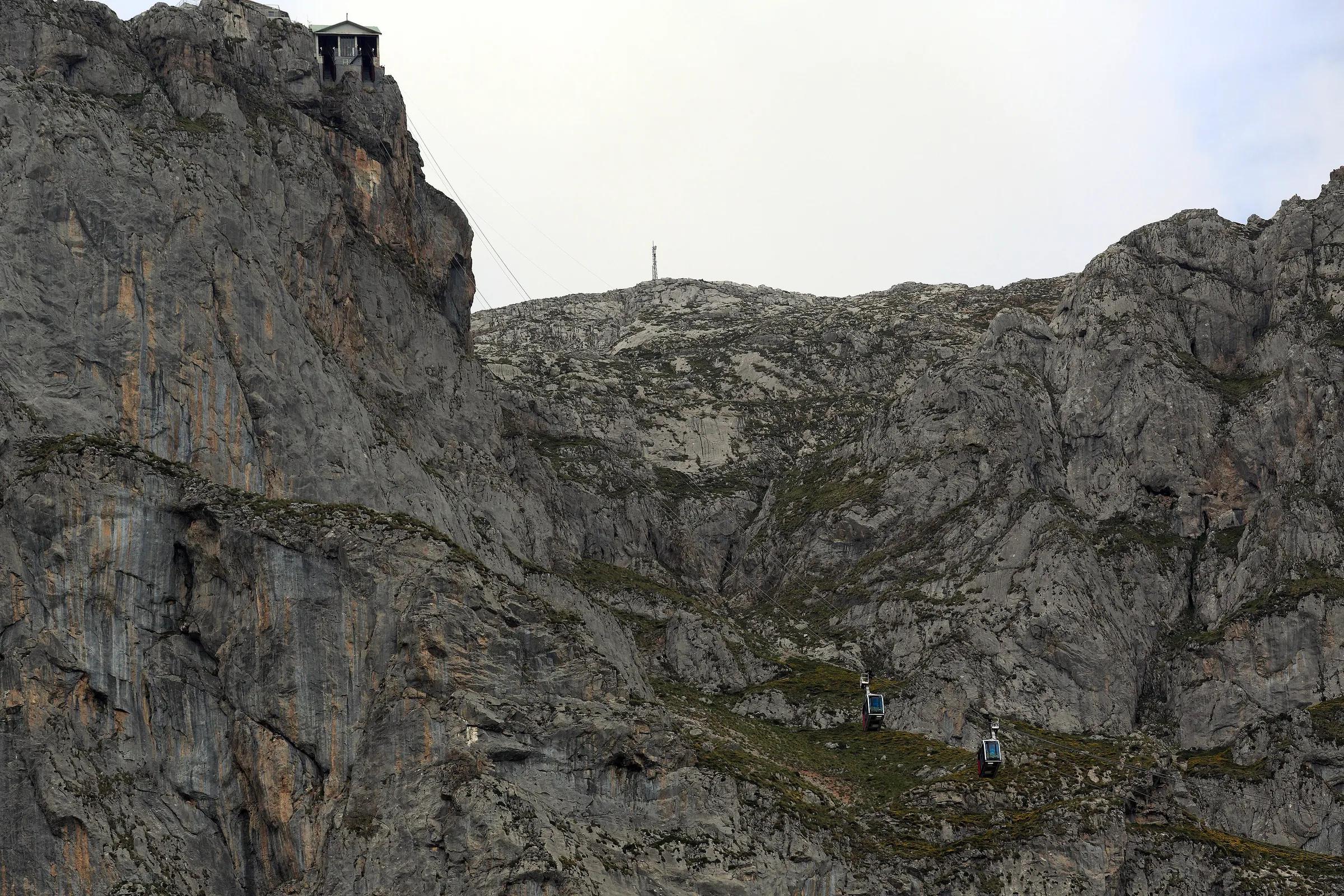
The cable car is run by Cantur, the Government of Cantabria's tourism company. According to its official site, the line is 1,450 metres long and overcomes a height difference of 753 metres, leaving passengers at 1,823 metres above sea level; the cabins carry up to twenty people and the ride takes around four minutes. At the top, a viewing platform looks straight down the wall to the valley you left moments before, and the high mountain begins at your feet.
The cable car closes when the wind is too strong or snow is forecast; in the past year its news page has recorded closures for wind, for snow and for maintenance. In summer, the queue at the valley station can be long. Arriving early, and checking the official webcams and forecast before you set off from Potes, saves disappointment on both counts.
Terrain: across the Puertos de Áliva
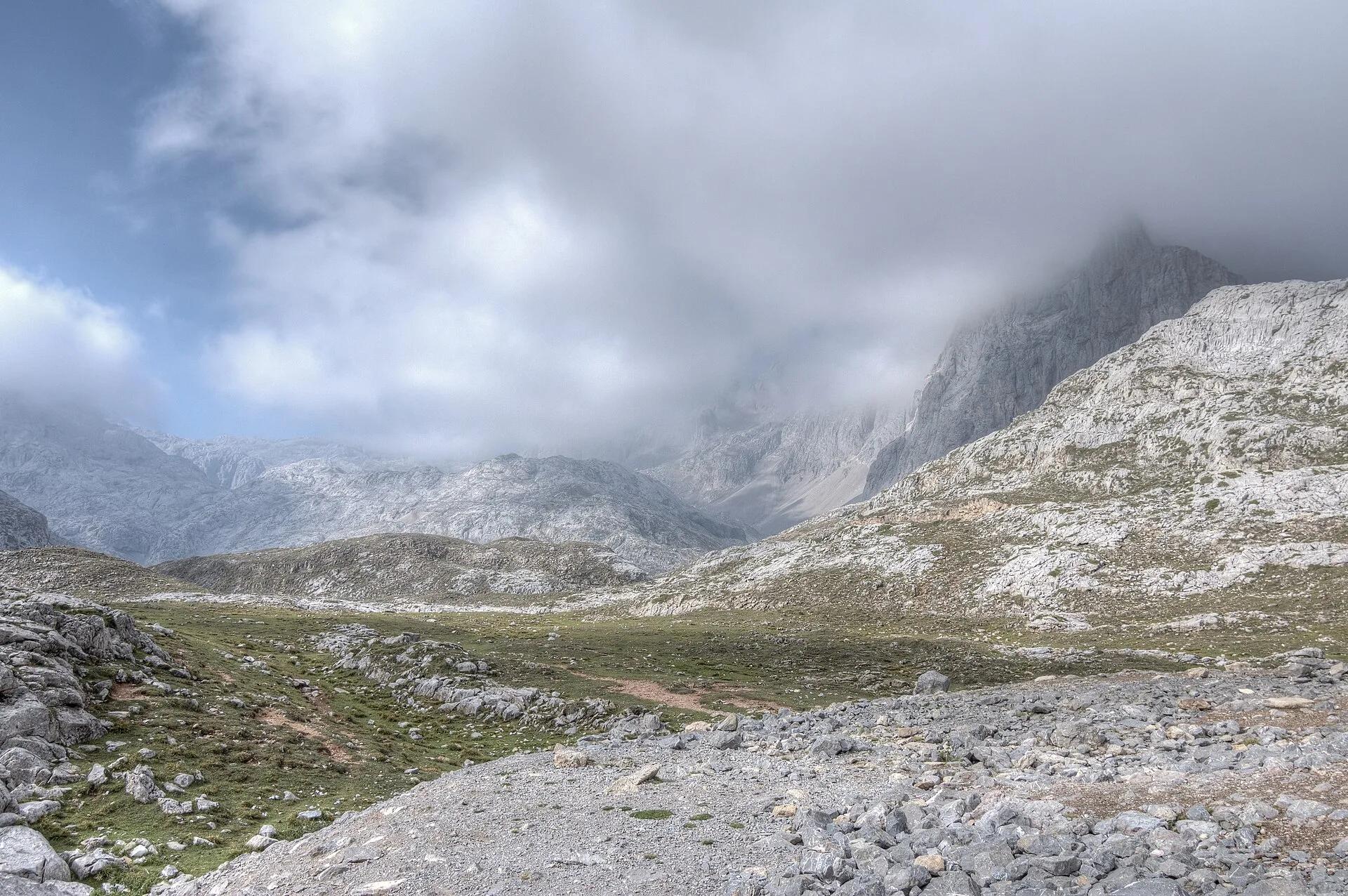
The walk the operator recommends to most visitors starts at the upper station and returns to Fuente Dé on foot. A short climb leads to the Horcadina de Covarrobles, and from there a track descends into the wide summer pastures of the Puertos de Áliva, which lie between the central and eastern massifs of the Picos. Cattle graze here in summer; the views open across to the eastern massif and back to the peaks you have just left.
Beyond the cattle grid at the Portillas de Áliva, the route leaves the track for a footpath through woodland on the southern slope of Peña de Valdecoro, then joins a broad, comfortable track down to Fuente Dé. By the operator's figures it is 14.5 kilometres, about four hours and a quarter, with 974 metres of descent and no real climbing after the first few minutes. The operator rates it as low difficulty, but a long descent tires the knees: it is a full day out for most people, not a stroll.
There are two shorter or different options. The older return goes down to the village of Espinama instead; the operator points out that from there you must walk 2.5 kilometres uphill along the road to reach Fuente Dé and your car. And if you want less, you can walk out across Áliva as far as the refuge-hotel and come back the same way to the cable car, which the operator puts at a little under two hours.
Horcados Rojos: for experienced walkers
The other path from the upper station heads north-west into the rock, towards the reddish crags of Horcados Rojos. It is linear: you go and return by the same way. The operator gives 11.4 kilometres there and back, 772 metres of ascent and the same of descent, and about four hours and twenty-five minutes, and describes the whole route as high mountain, with a final climb to the col on a steep, rocky path. The reward is a close view of the central massif's limestone: blind valleys, sharp peaks, scree and the hollows left by glaciers.
For most, the col is the destination; the operator says it is enough to climb to it and come back, and reserves the summit, the Torre de los Horcados Rojos, for well-prepared mountaineers. Treat this as a walk for people with mountain experience, good boots and the judgement to turn round.
Skills and safety
Above the cable car you are at nearly two thousand metres, in limestone country where paths cross bare rock and the ground holds few landmarks once the cloud comes down. Both walks follow signed routes; the operator's advice is to follow the signs and never leave the path. Navigation skills, a map and a charged phone are sensible on Áliva and essential beyond it.
Conditions and season
Late spring to early autumn is the season for walking up here. In early summer the pastures of Áliva are green and full of flowers; in high summer the paths are busiest and the cable car queues longest; in September and October the light is low and clear, and fewer people are about. Winter turns the high Picos into serious snow terrain for mountaineers only, and the cable car closes for snow and for maintenance; in 2026 it is also due to close for works from mid-November.
Equipment
- Mountain boots: the operator asks walkers to wear them on Áliva.
- Enough water for the whole route; there is little to rely on along the way.
- Warm and waterproof layers, even on a hot day in the valley: the top station is at 1,823 metres.
- Sun hat, sunglasses and sun cream; there is little shade on the high pastures.
- A map or downloaded route (the operator publishes a map and profile of the Áliva route), and a charged phone.
- Walking poles help on the long descent to Fuente Dé.
Nearby alternatives
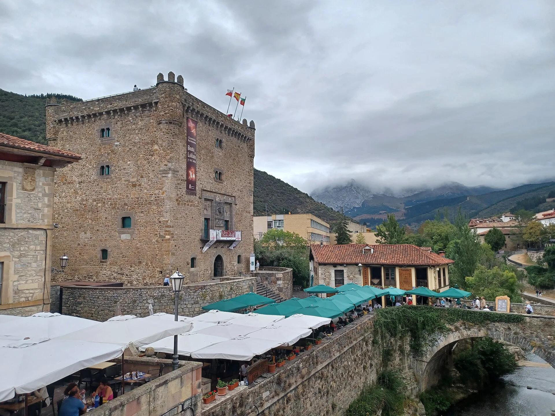
When the cloud sits on the peaks, Liébana still has plenty to offer below it. Potes, with its bridges and tower, is a short drive down the valley; the monastery of Santo Toribio de Liébana stands on the slope above the town; and the road out to the coast runs through the Desfiladero de La Hermida. On the Asturian side of the Picos, the Cares gorge offers a different way into the same mountains, at a lower altitude.
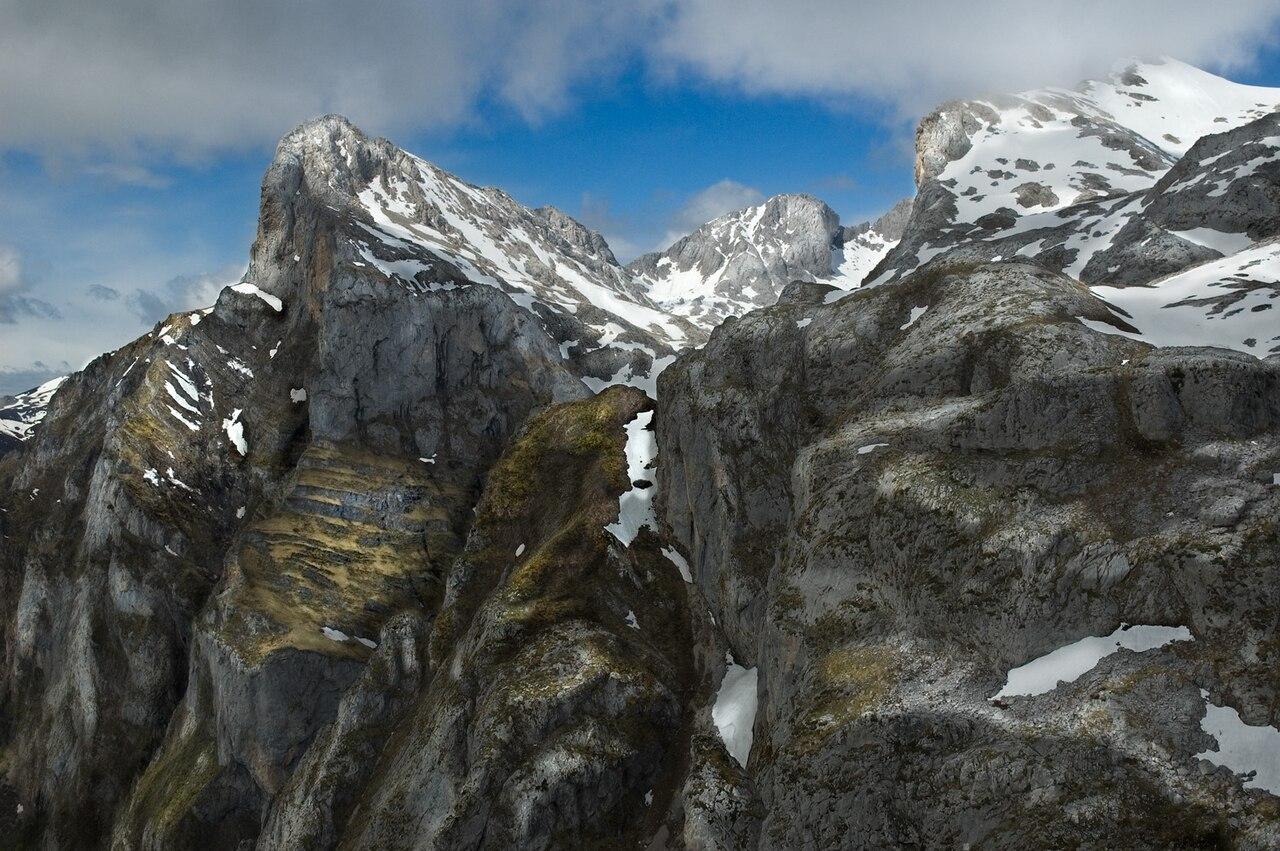 jroblear / Wikimedia Commons, CC BY 2.0
 Eckhard Bick / Wikimedia Commons, CC BY-SA 4.0
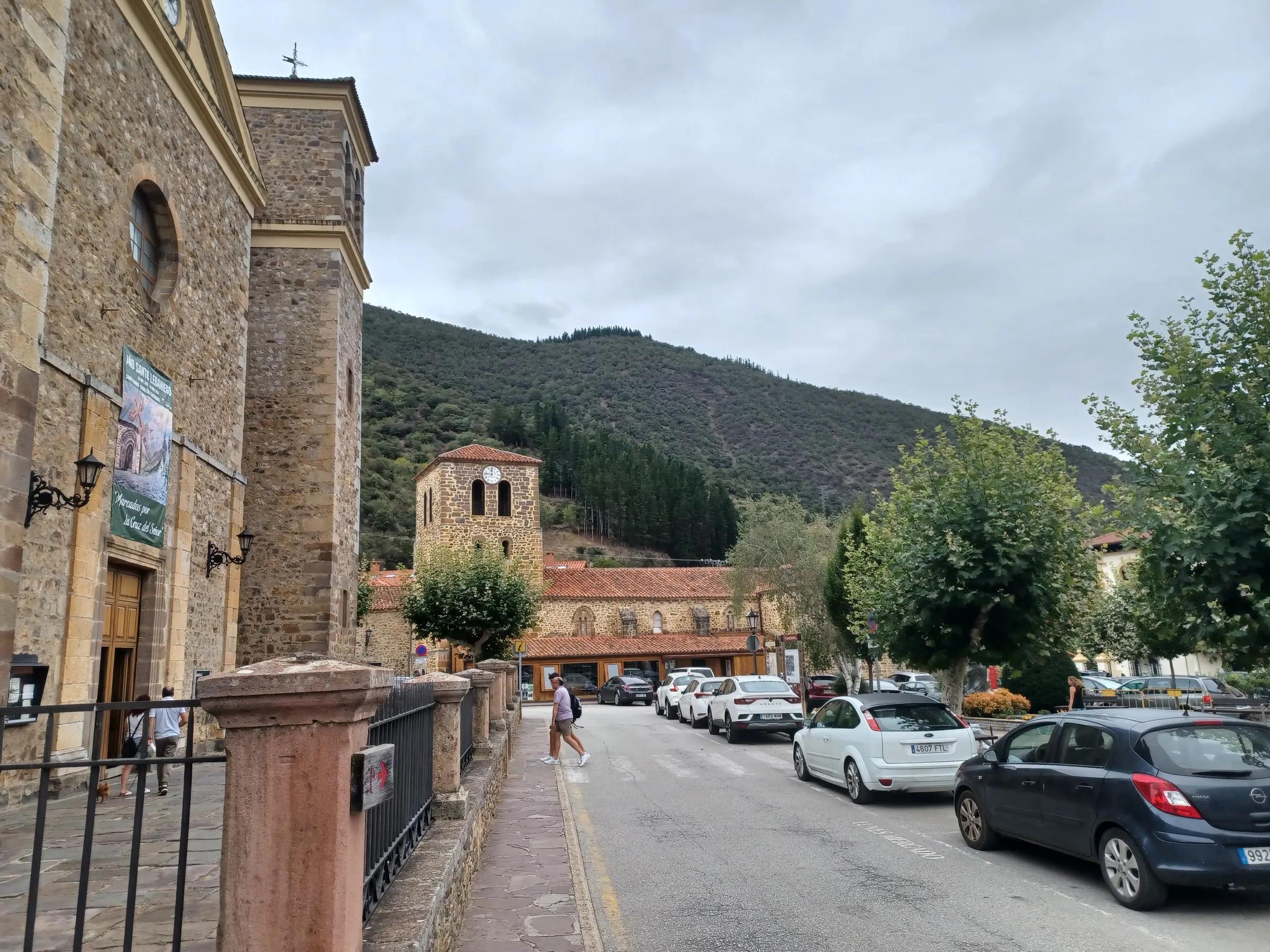
Nearby
Nearby, if you have time
Practical details checked on 8 November 2026. Rules, access and seasons change. Check the official sources below before you go.
Sources
- Teleférico Fuente Dé (Cantur) — official site and newschecked 8 November 2026
- Teleférico Fuente Dé — technical information and rules of usechecked 8 November 2026
- Teleférico Fuente Dé — route: Puertos de Álivachecked 8 November 2026
- Teleférico Fuente Dé — route: Horcados Rojoschecked 8 November 2026
- Red de Parques Nacionales (MITECO) — Picos de Europachecked 8 November 2026
Take it further
If this story set you thinking, here is where to take it next.
Series
In the series The seven provinces around
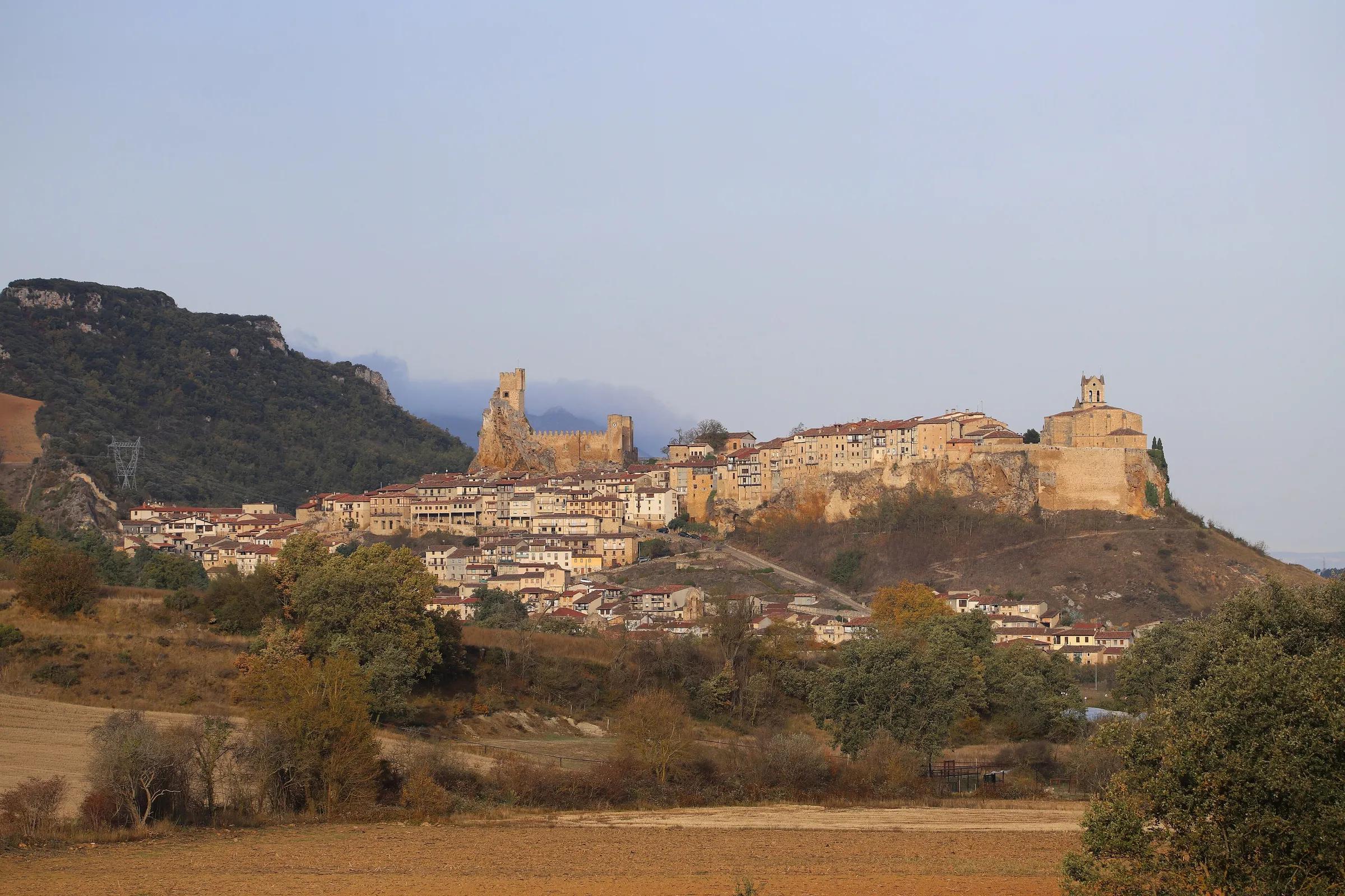
Journeys & Road Trips
From the Montaña Palentina to Las Merindades
Adventure & Outdoors
Fuente Dé and the high Picos
Life & Culture
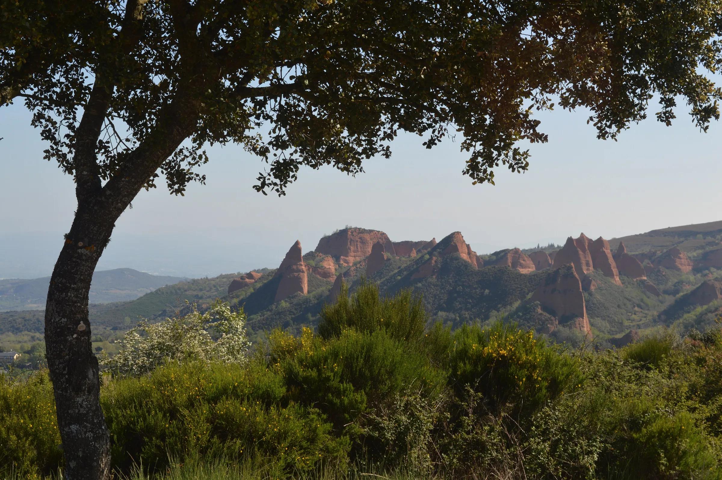
Las Médulas: the mountains the Romans brought down
Places & Destinations
Potes and the Liébana valley
Places & Destinations
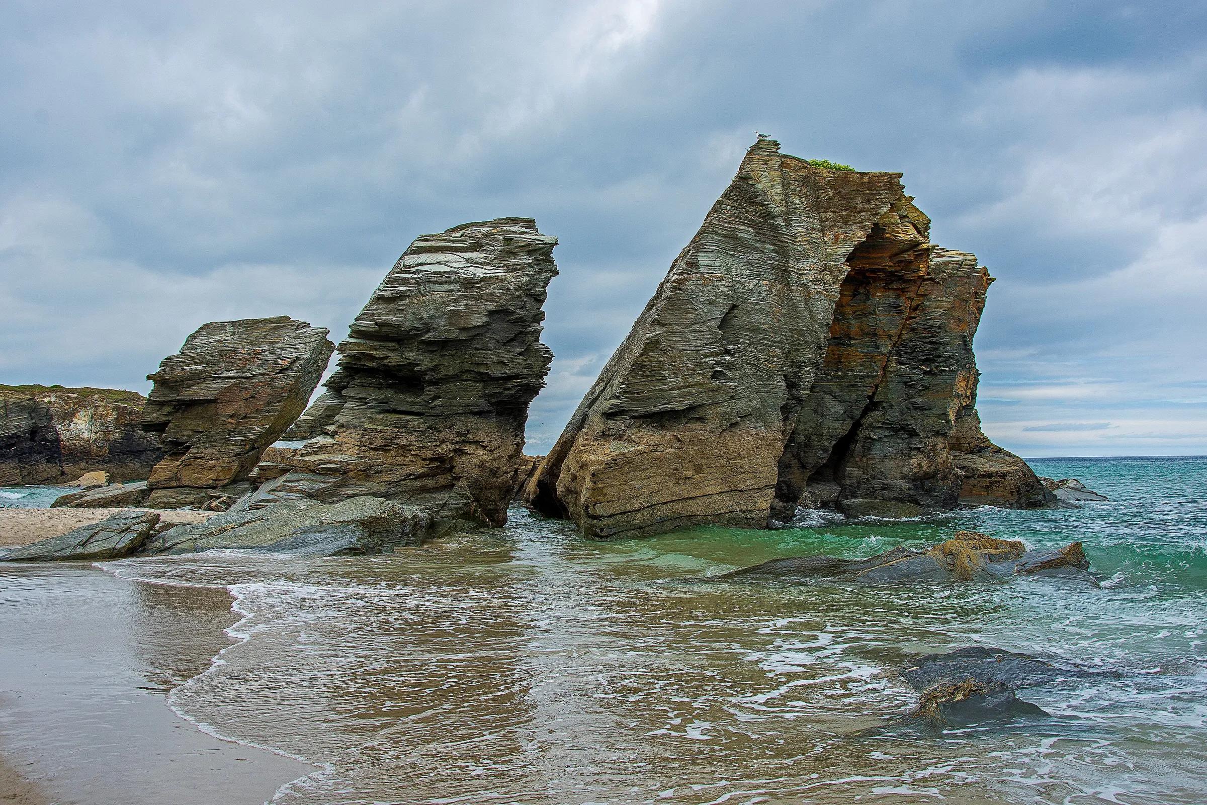
Praia das Catedrais: tides and booking
Journeys & Road Trips
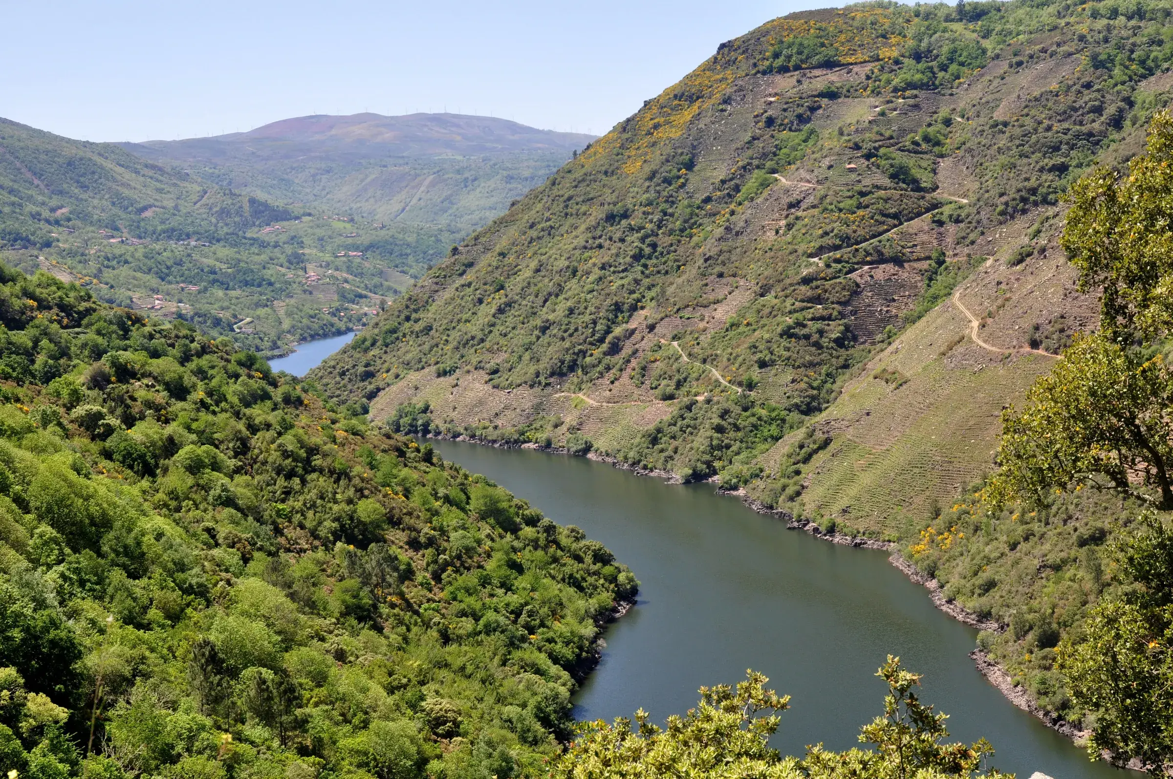
The Ribeira Sacra and the Sil canyon