
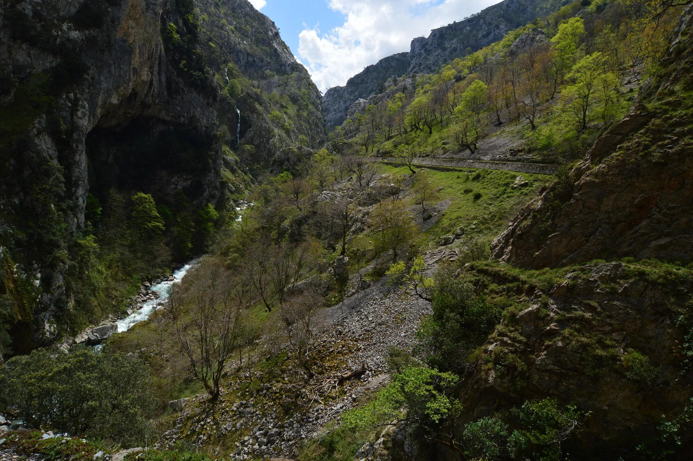
 Javier Mendia García from leioa / Wikimedia Commons, CC BY 2.0
Adventure guide
Walking the Cares gorge
A path cut into the cliff above a river, between Poncebos in Asturias and Caín in León: tunnels, bridges and long drops with nothing between you and the air. The distance, the exposure, the problem of getting back, and how to walk it well.
5 min read· By the Tierra Luma editors
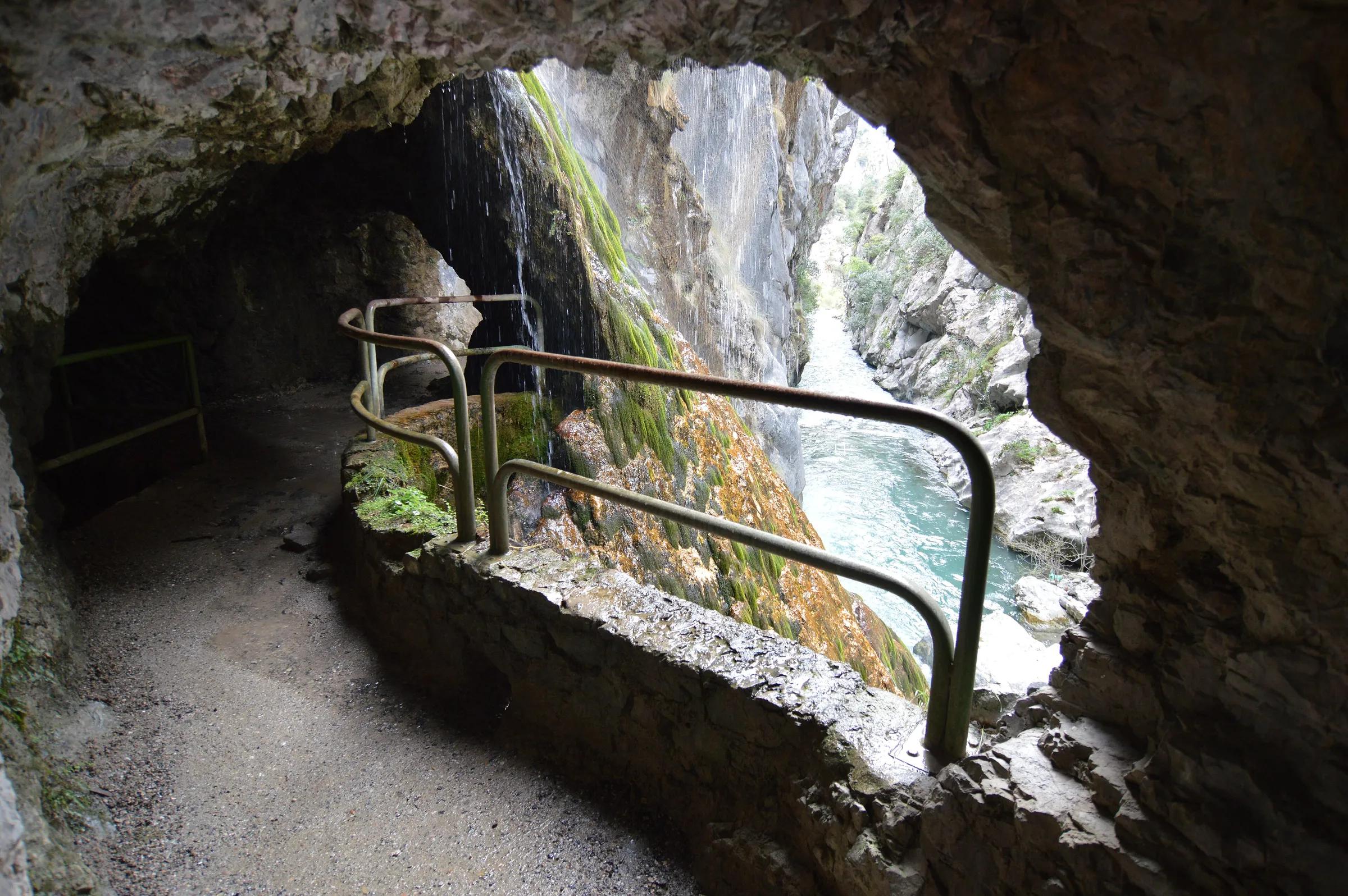
The river is a thread of jade far below. The path, no wider than a farm track, is cut into the side of a limestone wall that rises hundreds of metres above it and falls just as far to the water. Ahead it disappears into a black tunnel, comes out at a window on the gorge, crosses a bridge thrown from one cliff to the other, and goes on. This is the Ruta del Cares, the classic walk of the Picos de Europa National Park.
It was not made for walkers. Work on a water canal from Caín to the Camarmeña power station began in 1916; it took six years, almost 9.5 km of channel and more than 5,500 metres of tunnels, and was finished in 1921. Turismo Asturias tells how some 400 workers cut off by snow in Caín crossed the mountain on foot at night to Los Collaos, near Poncebos. The service path beside the canal, built in 1945, is the path we walk today.
Highlights
The places in this story
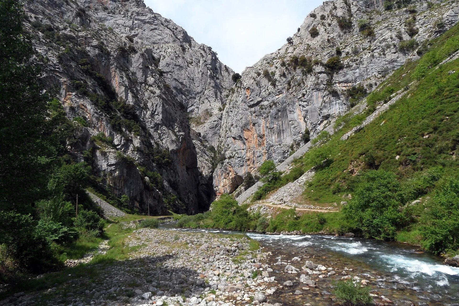
- Ruta del CaresThe famous gorge path cut into the cliffs between Poncebos and Caín.
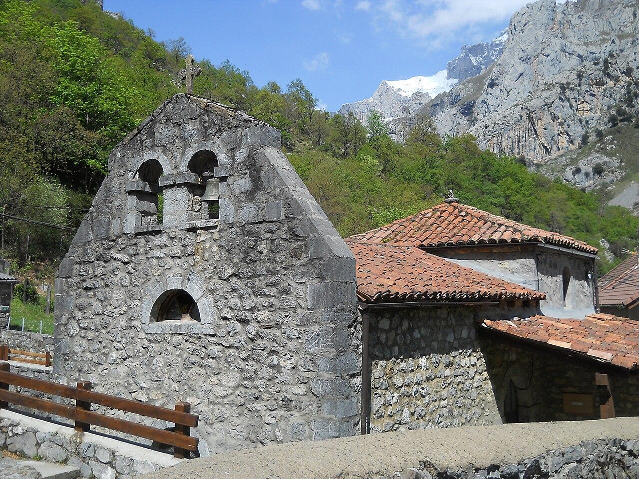
- Caín de ValdeónCaín, a small village of the Posada de Valdeón municipality, sits at about 460 m in the Valdeón valley, deep in the Picos de Europa. It is the León end of the Cares route, the path along the gorge of the river Cares to Poncebos in Asturias.
- Parque nacional de Picos de EuropaParque nacional de Picos de Europa is a national park in Cabrales, Asturias. Facts from Wikidata; opening times and prices are on the official website where there is one.
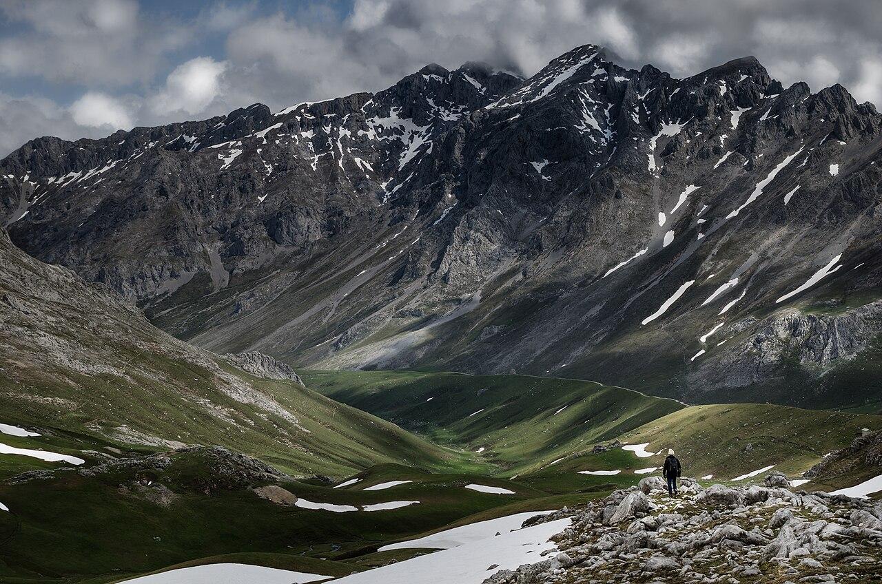
For long stretches there is nothing at all between the edge and the drop.
The route
Turismo Asturias describes the walk from Poncebos, beside the car park of the Bulnes funicular, to Caín and back: 22.1 km in all, about eleven each way, with 831 metres of climbing and the same of descent, a high point of 532 metres and a low point of 210. It rates the return walk as very hard and estimates more than five hours. The path is signed as PR-AS 229 and partly shares its line with the GR-202, the Ruta de la Reconquista.
From the Asturian side, the first two kilometres are the hardest: a steady climb on stony ground among limestone crags, often in full sun, up to the level of the canal. After that the path runs almost level, in and out of the cliff, over the Bolín and Los Rebecos bridges, through tunnels with openings onto the gorge, until the walls close in near Caín and the river runs between them like a corridor. The national park's own description of the PR-PNPE 3 goes further, starting at Posada de Valdeón in León and walking 21 km down to Poncebos, which it rates as medium: simple in layout but long for anyone not well prepared.
Terrain and exposure
Underfoot it is a good, wide path by mountain standards, around a metre and a half in many places, cut into the rock. But the national park and Turismo Asturias are clear: there is no side protection, and some sections run at a great height above the river. For long stretches there is nothing at all between the edge and the drop. Most people find it thrilling rather than frightening; anyone with a real fear of heights should walk a short way in and decide calmly whether to continue.
Who it suits
No climbing skills are needed, but the full return walk asks for real stamina: a long day on hard ground with a steep climb at the start and the same climb's descent at the end, when legs are tired. Turismo Asturias recommends the route for children from about twelve; younger children should hold an adult's hand and walk on the inside of the path. The park suggests that anyone not used to walking should do only part of it and plan their return accordingly. Bicycles are not allowed, and dogs must always be on a lead.
Safety
The return problem
The Cares is a linear route: a gorge has two ends, and the road between them goes the long way round through the mountains. Most walkers solve it in the simplest way, by turning round at Caín, or sooner, and walking back the same way. That is the 22-kilometre day described above, and there is no shame in turning at a bridge or a tunnel halfway: the gorge is just as fine there. The alternative is a one-way walk with transport at the other end. Turismo Asturias notes that 4x4 transport services can be hired for this, and the park says simply that anyone walking the whole route must plan their return by some form of transport. Arrange it before you set off, not from the far end.
Conditions and season
Turismo Asturias lists the route as walkable all year. Spring and autumn are the kindest seasons, with cooler air, the beech woods on the slopes green or turning, and fewer people on a path where passing can mean stepping to the edge. Summer brings long days and long queues of walkers, and the first climb from Poncebos can be very hot: start early. After heavy rain or strong wind, and in the days that follow, rockfall is more likely; in winter, short days and cold make an early turnaround wise.
What to bring
- Mountain boots with a good grip; the rock polishes smooth and is slippery when wet.
- All the water you will need for the day, and some to spare.
- Food for a long day: there is no shop on the path.
- Sun hat and sunscreen, and a light waterproof.
- A head torch for the tunnels and for a late return.
- A charged phone, and the emergency number 112.
Nearby alternatives
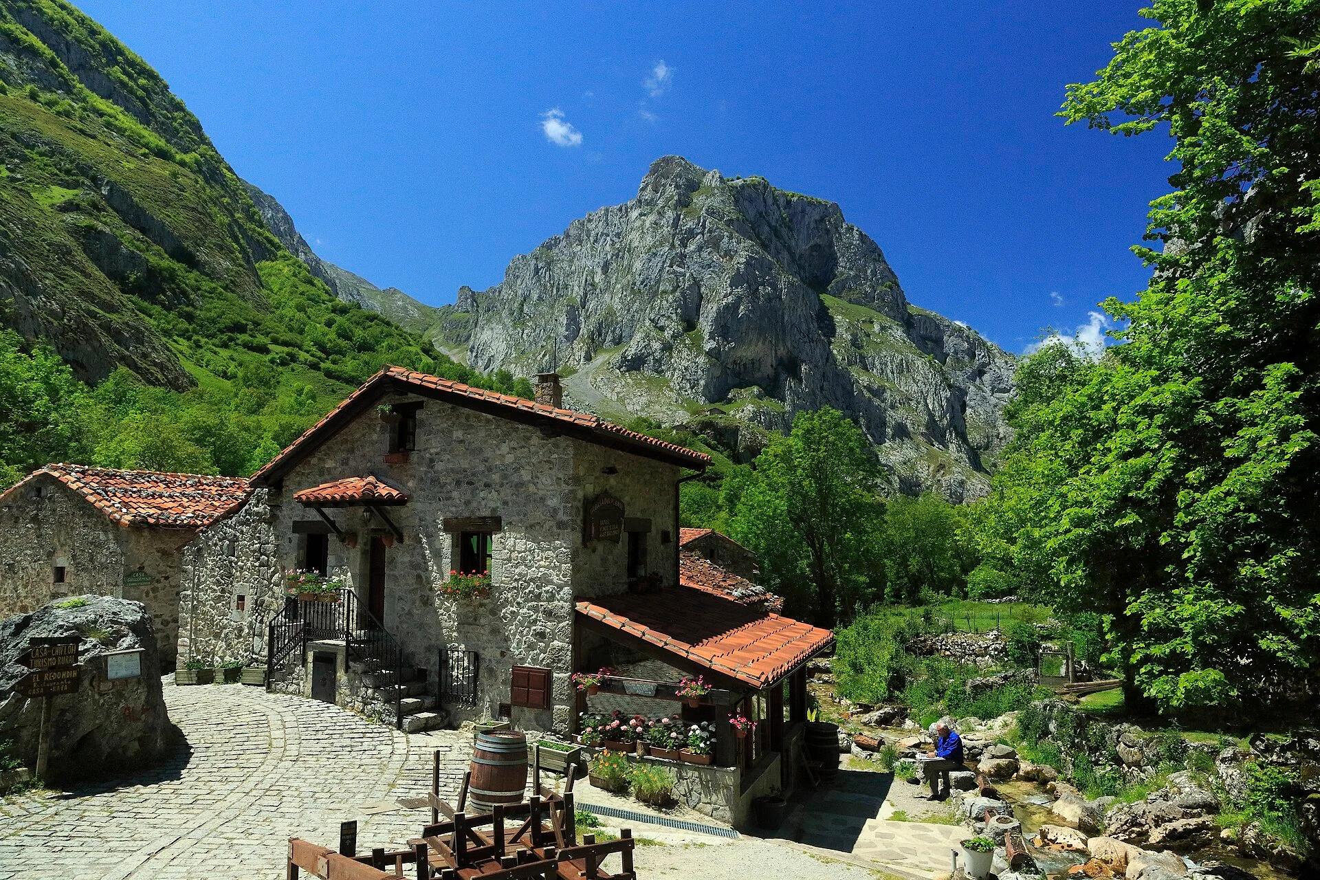
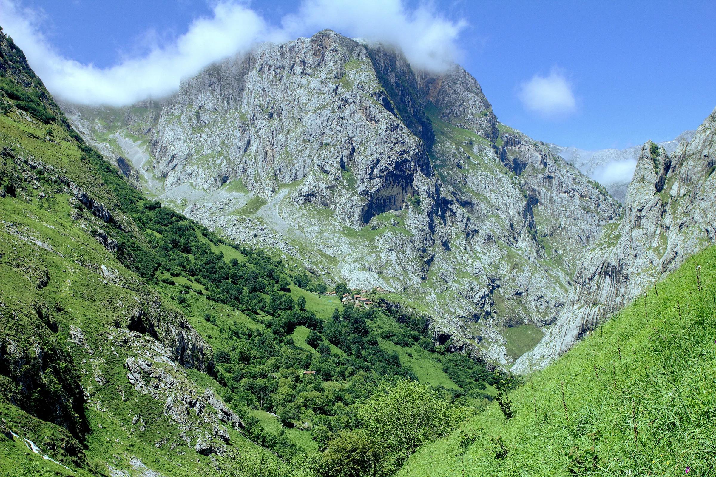
From the same car park at Poncebos, the village of Bulnes, which has no road, can be reached by funicular through the mountain or on foot up the Canal del Texu, a steep path of its own. In Arenas de Cabrales, the Cueva del Quesu shows how Cabrales cheese is matured in natural caves, a good rainy-day plan. From the León side, Caín and the Valdeón valley are a quieter base, and a short there-and-back walk from Caín into the narrows gives the essence of the gorge without the full day. For the high Picos, the Naranjo de Bulnes stands above it all.
Nearby
Nearby, if you have time
Practical details checked on 8 November 2026. Rules, access and seasons change. Check the official sources below before you go.
Sources
- Turismo Asturias: Ruta del Cares (senderismo)checked 8 November 2026
- Turismo Asturias: The Cares Route (montañeros)checked 8 November 2026
- MITECO (Red de Parques Nacionales): Picos de Europa, PR-PNPE 3 Ruta del Careschecked 8 November 2026
- Parque Nacional de los Picos de Europa: Reabre la Ruta del Cares en toda su extensión (alert)checked 8 November 2026
Take it further
If this story set you thinking, here is where to take it next.
Series
In the series Eastern Asturias, closely
Life & Culture
Asturian cider culture
Places & Destinations
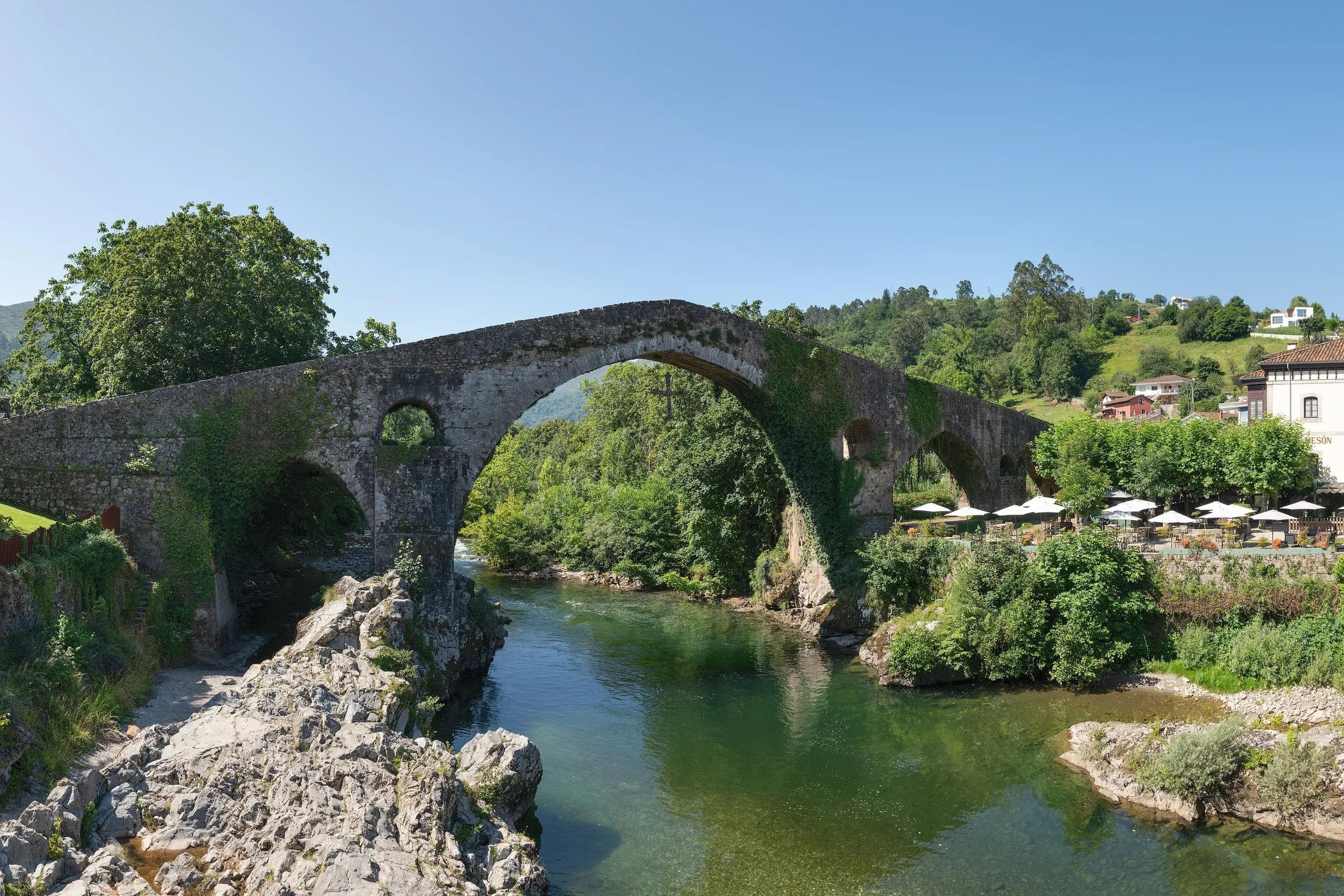
Cangas de Onís and Covadonga
Adventure & Outdoors
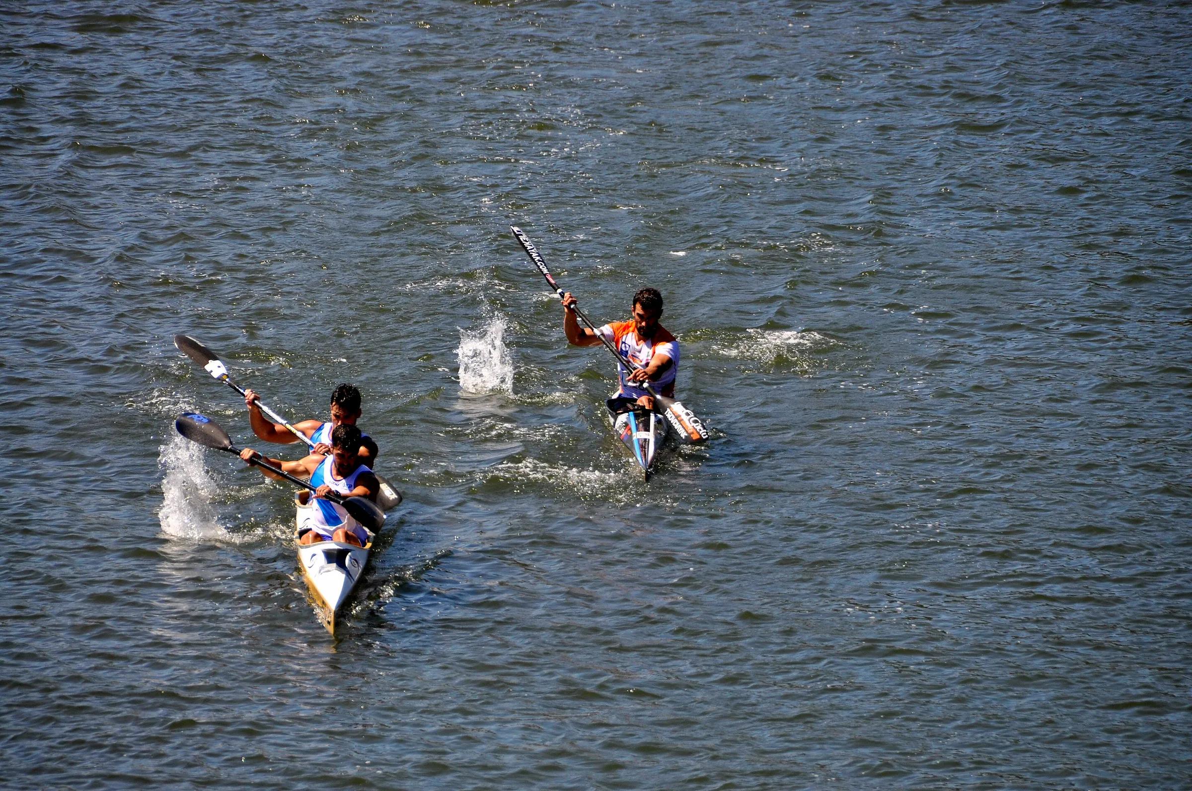
Canoeing the Sella
Journeys & Road Trips
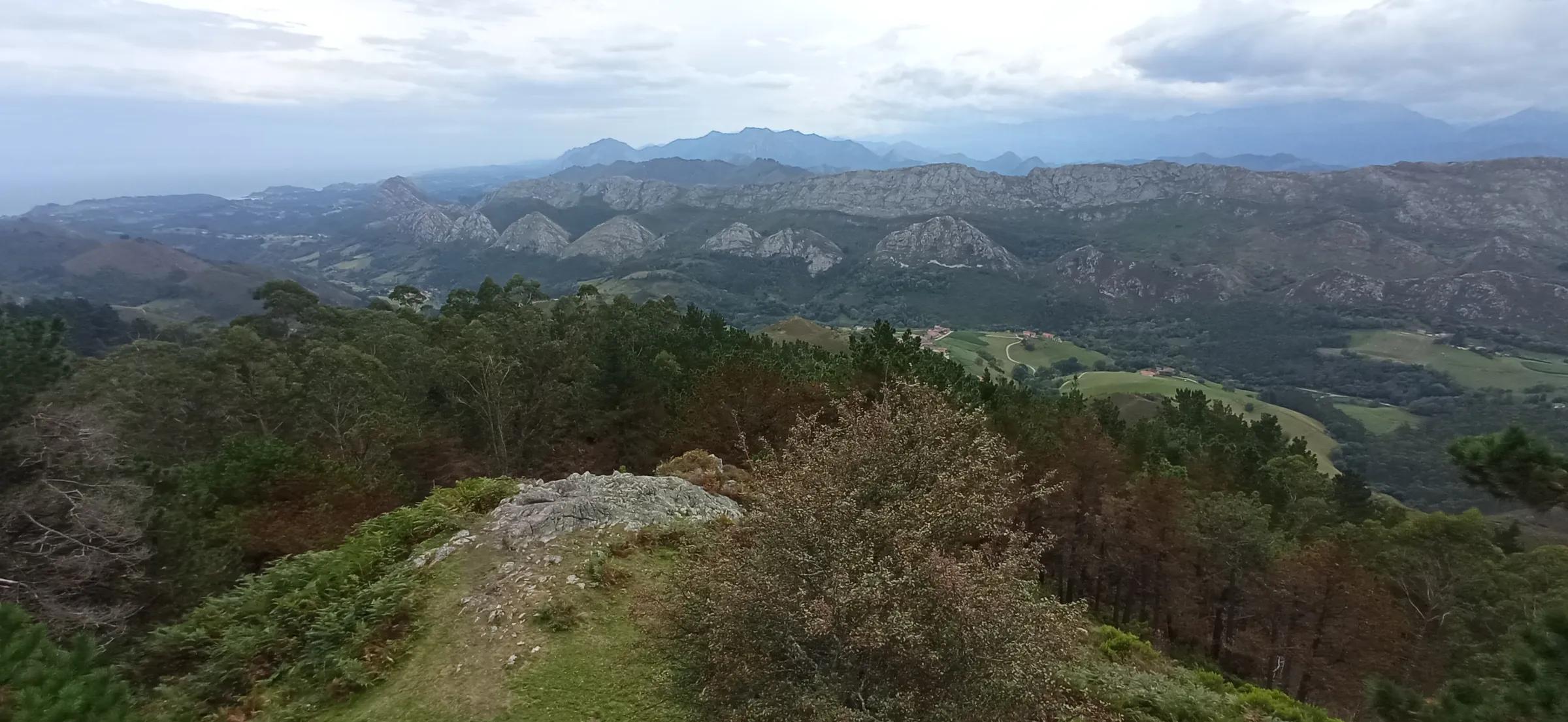
Eastern Asturias, from the coast to the peaks
Life & Culture
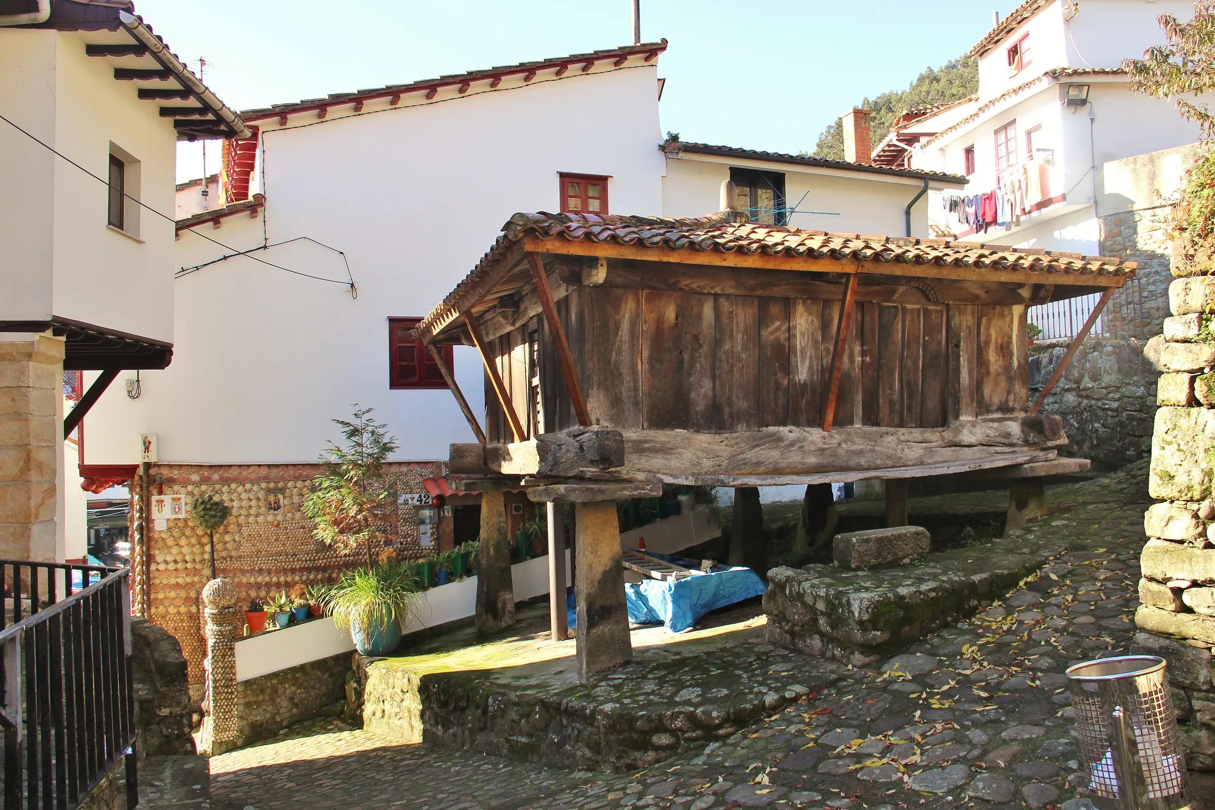
Hórreos: the granaries of Asturias
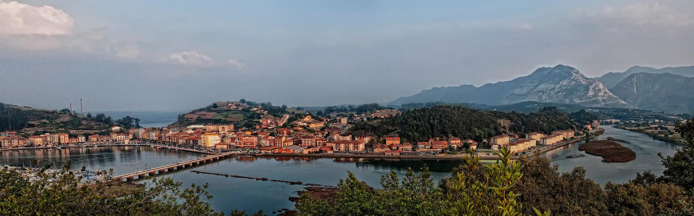
Places & Destinations
Ribadesella, where the Sella meets the sea
Adventure & Outdoors
Walking the Cares gorge
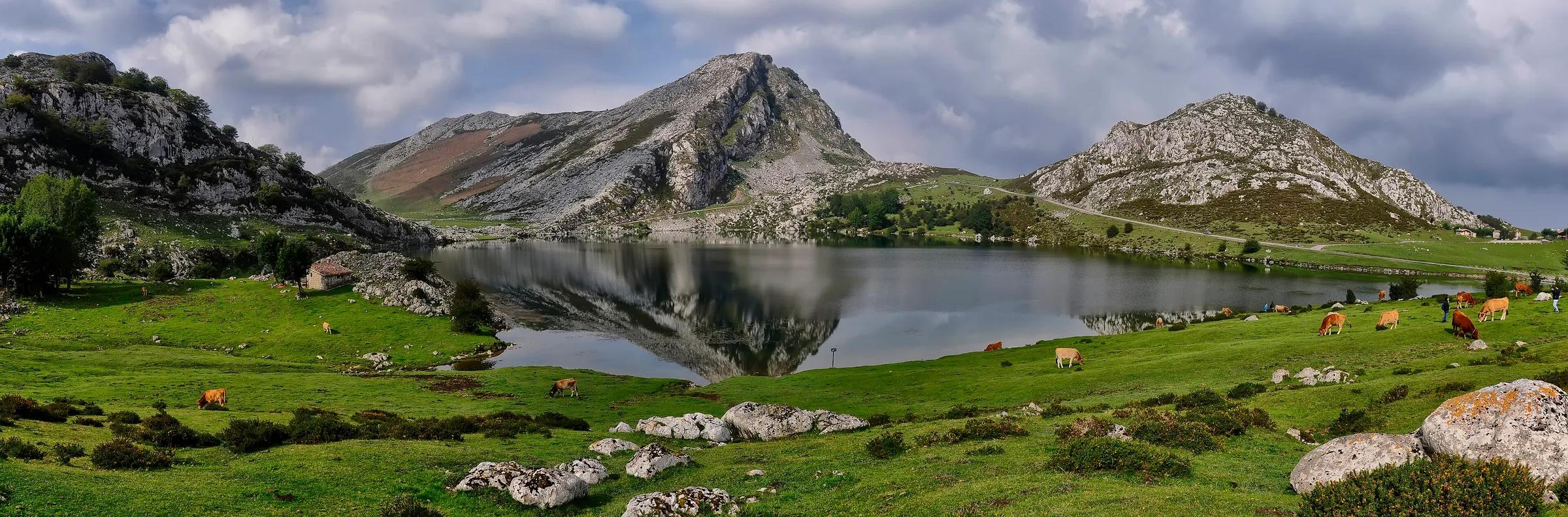
Places & Destinations
Getting to the Lakes of Covadonga: how access works
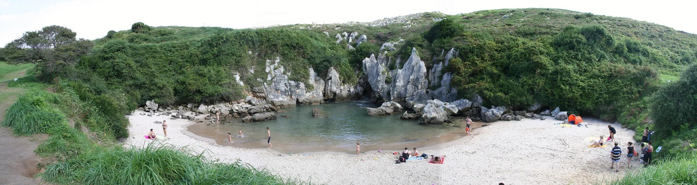
Adventure & Outdoors
Reading the tide on the Llanes coast