
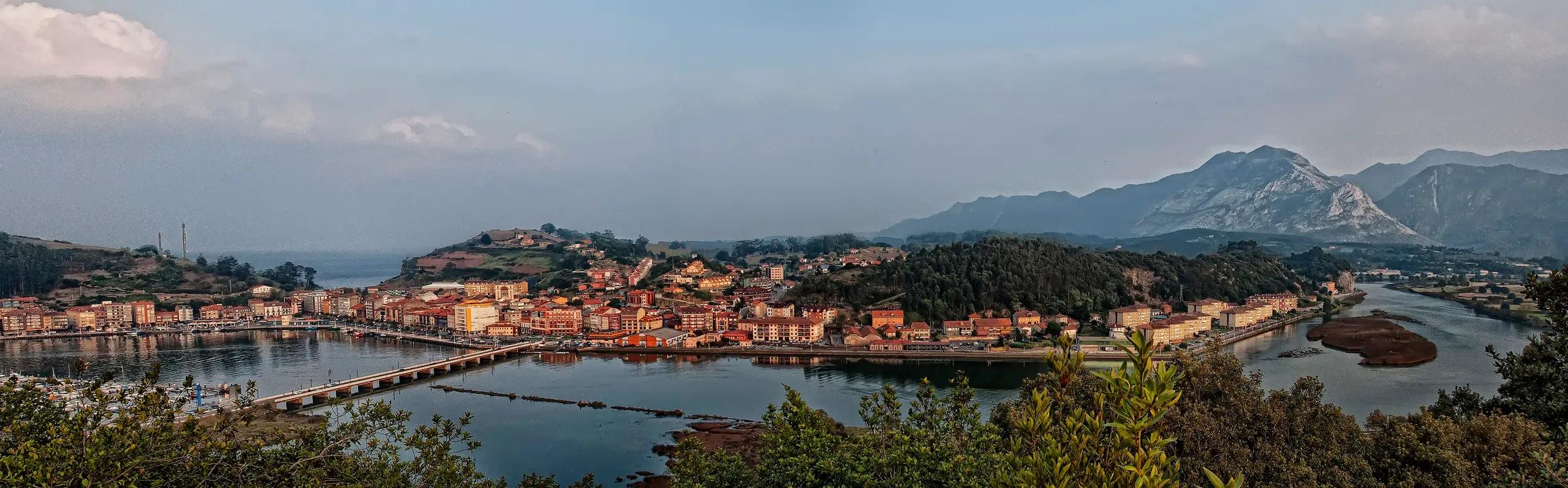
 Pacodonderis / Wikimedia Commons, CC BY-SA 4.0
Destination journal
Ribadesella, where the Sella meets the sea
An estuary of fishing boats and paddlers, an old town of glazed galleries, a beach lined with indiano villas, a painted cave from the Ice Age and dinosaur tracks in the rock: a small town with a very long memory.
5 min read· By the Tierra Luma editors
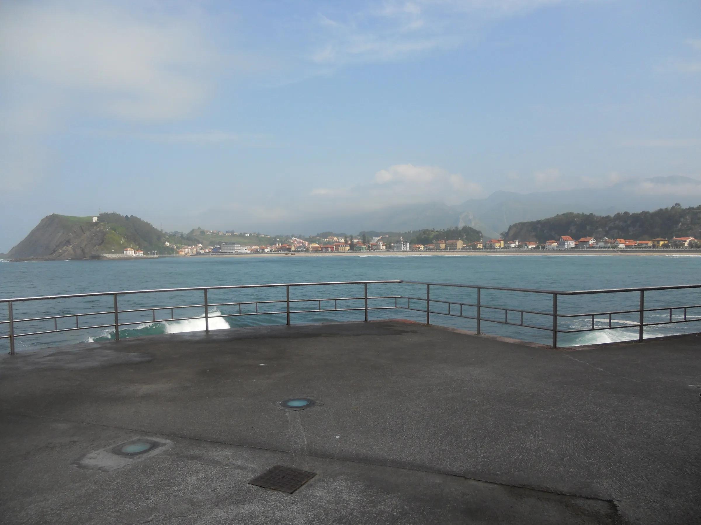
Low tide in the estuary: the Sella, which began among the peaks, slows into a broad sheet of water between sandbanks, and the fishing boats lean on their keels by the quay. Across the water, the long curve of Santa Marina lies under a row of villas with turrets and painted woodwork. Behind the town, the green hills rise in steps towards mountains that are often in cloud. Ribadesella is where the river of eastern Asturias meets the sea, and it gathers in a short walk most of what this coast has to offer.
Highlights
The places in this story
- RibadesellaA harbour town at the mouth of the Sella, where the canoe race ends.
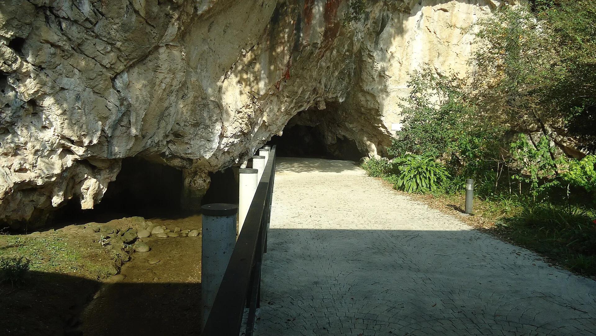
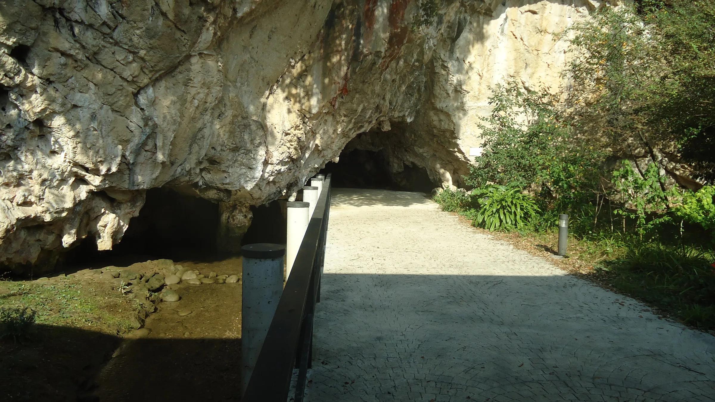
- Cueva de Tito BustilloOne of Europe's major Palaeolithic art caves, with a modern Cave Art Centre nearby.
- Playa de Santa MarinaRibadesella's town beach, with dinosaur footprints at its western end.
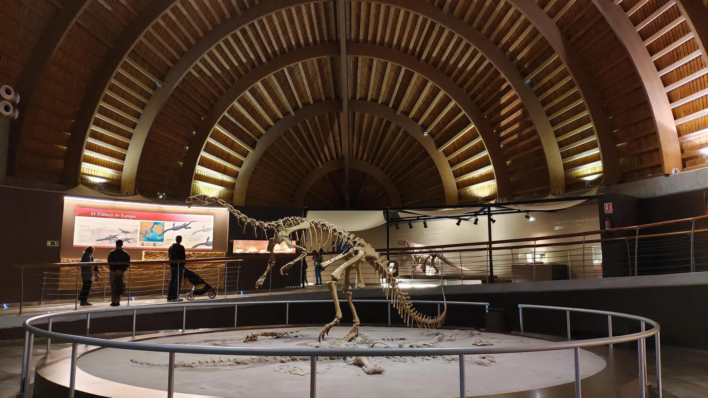
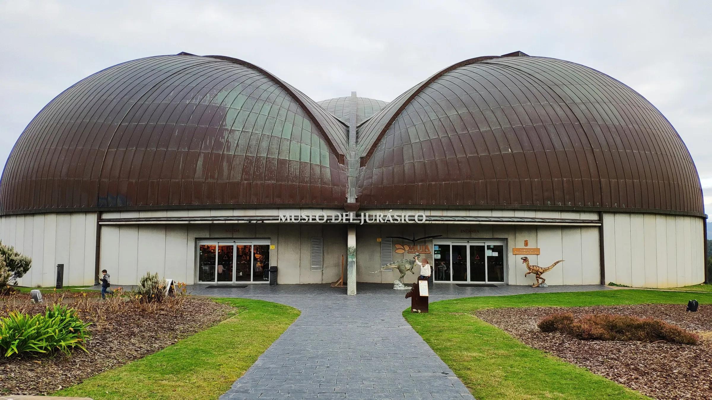
- Museo del Jurásico de Asturias (MUJA)The Jurassic museum on the Dinosaur Coast, a favourite with families.
Ribadesella is where the river of eastern Asturias meets the sea.
Why go
Few towns of its size hold so many ages at once. In the rock of the Ardines massif, a few minutes from the bridge, people painted horses and reindeer during the last Ice Age. In the cliffs and platforms on either side of town, dinosaurs left their footprints. The old town keeps buildings from the sixteenth to the nineteenth centuries and a Wednesday market that, Turismo Asturias notes, goes back to the thirteenth. And every August the whole of Asturias seems to arrive, following the canoes of the Descenso Internacional del Sella, which has finished here for some ninety years.
Highlights
The estuary and the old town
Start on the Paseo del Muelle, along the estuary, where fishing boats, sailing dinghies and training canoeists share the water, and follow it to the Punta del Arenal, where the river makes its last bend before the Cantabrian Sea. From there the Paseo de la Grúa climbs under the headland past six tiled panels by the cartoonist Antonio Mingote, a humorous history of the town, to the sixteenth-century chapel of La Guía on Monte Corberu, with old cannons and a view down over Santa Marina.
Back in the restored, pedestrian old town, look for the glazed galleries, the Casa de los Ardines, the Palacio de Prieto Cutre, which is now the town hall, and the church of Santa María Magdalena, whose frescoes by the Uría Aza brothers are read as allegories against war.
Pilgrims pass through here too: the coastal Camino de Santiago crosses the centre of the town, so the bridge over the estuary is also one stage of a much longer walk to Santiago. Stand on it at the turn of the tide and you can watch the river and the sea arguing over which way the water should go.
Santa Marina beach
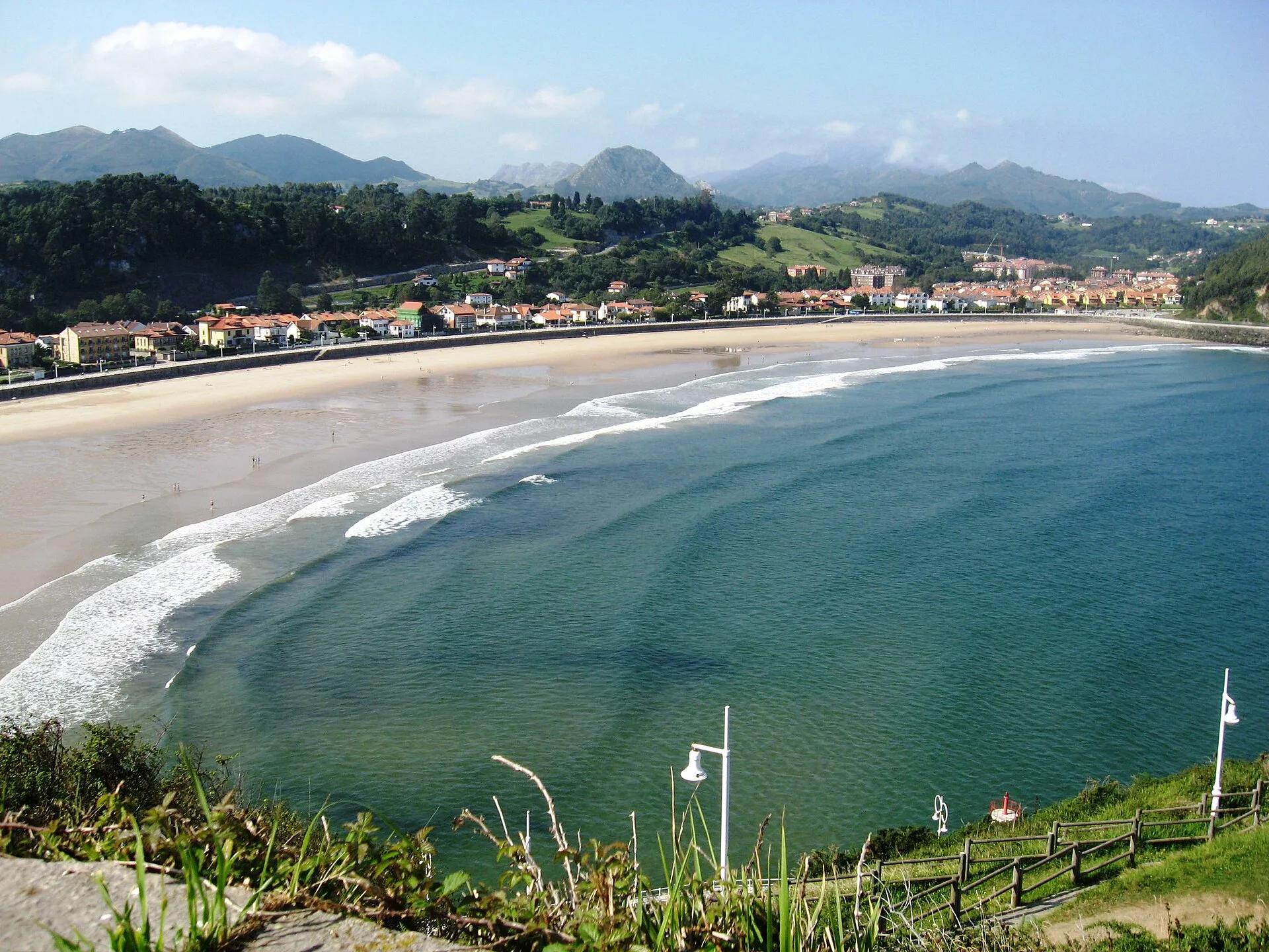
Across the bridge, Santa Marina is a town beach of about 1,200 metres of golden sand, backed by a promenade that dates from 1907, when the marquesa de Argüelles began to develop the area. Behind it stand Modernist and indiano villas, built with fortunes made in the Americas. The beach usually has strong waves, which makes it a favourite with surfers, and at its western end, around Punta el Pozu, dinosaur tracks have been found in the rock. The lifeguard service runs in the summer season.
Tito Bustillo cave
In 1968 a group of Asturian cavers found a gallery of Palaeolithic art inside the Ardines massif. The cave holds more than a hundred painted and engraved figures in eleven groups, from two phases of the Upper Palaeolithic. Horses and reindeer dominate; there is a Camarín de las Vulvas, a Gallery of the Anthropomorphs and a great polychrome panel. In July 2008 it was declared a World Heritage Site with other caves of the Cantabrian coast.
Because the art is fragile, visits are deliberately small and seasonal: Turismo Asturias describes groups of about fifteen people, a minimum age of seven, sessions of around an hour and a cave that closes for the winter. The nearby Centro de Arte Rupestre, with its exhibition on the discovery, the geology and the people who painted the walls, keeps a longer calendar and is the place to start, or the alternative when the cave is shut.
The dinosaur coast
West of town the cliffs of Tereñes carry dinosaur footprints, and the same Jurassic story continues along the coast to Colunga. There, on the San Telmo coast above the port of Lastres and the beach of La Griega, the Museo del Jurásico de Asturias, the MUJA, sits in a building shaped like a giant three-toed footprint. Inside are some 2,500 square metres of skeletons, fossils and reproductions about the dinosaurs that lived on this shore; outside, a garden of life-size models. La Griega, below, has its own site of sauropod footprints. The museum is closed in January and its hours change with the seasons.
Seasons
Spring and early autumn are the best balance: the cave is open, the beach is calm enough for long walks, and the town is itself. Summer is busy and bright, with lifeguards on Santa Marina and every room taken around the first weekends of August, when the canoe festival arrives. From November the cave rests and the coast turns wild and grey; the rock-art centre, the museum on its open days and the walks along the cliffs remain.
Practical
- Ribadesella has a tourist office; ask there about tides before walking out to the footprint sites on the rock platforms.
- Treat the dinosaur tracks as protected heritage: look, photograph, never chip or make casts.
- For Tito Bustillo, bring a warm layer and good shoes, and arrive early: the session will not wait.
- On the festival weekend in August the town is full and some roads close; plan around it, or come for it.
Nearby discoveries
Inland, the river leads back to Arriondas, where the canoe descent starts, and on to Cangas de Onís and Covadonga. On the coast, the cliffs known as the Acantilados del Infierno are reached through the village of Cuerres, and boat trips show this shore from the water. A short way inland, the road to the village of Cueves passes through a natural grotto, La Cuevona, a strange and memorable entrance. East of town, Playa de Vega, described by Turismo Asturias as one of the largest beaches in Asturias, is the place for a long, open walk by the sea.
Nearby
Nearby, if you have time
Practical details checked on 8 November 2026. Rules, access and seasons change. Check the official sources below before you go.
Sources
- Turismo Asturias: Las 10 mejores cosas que ver y hacer en Ribadesella y alrededoreschecked 8 November 2026
- Turismo Asturias: Playa de Ribadesella (Santa Marina)checked 8 November 2026
- Turismo Asturias: Cueva de Tito Bustillo (arte rupestre)checked 8 November 2026
- Turismo Asturias: Centro de Arte Rupestre de Tito Bustillochecked 8 November 2026
- Turismo Asturias: Jurassic Museum of Asturias (MUJA)checked 8 November 2026
- Turismo Asturias: Fiesta de las Piraguas, Descenso Internacional del Sellachecked 8 November 2026
Take it further
If this story set you thinking, here is where to take it next.
Series
In the series Eastern Asturias, closely
Life & Culture
Asturian cider culture
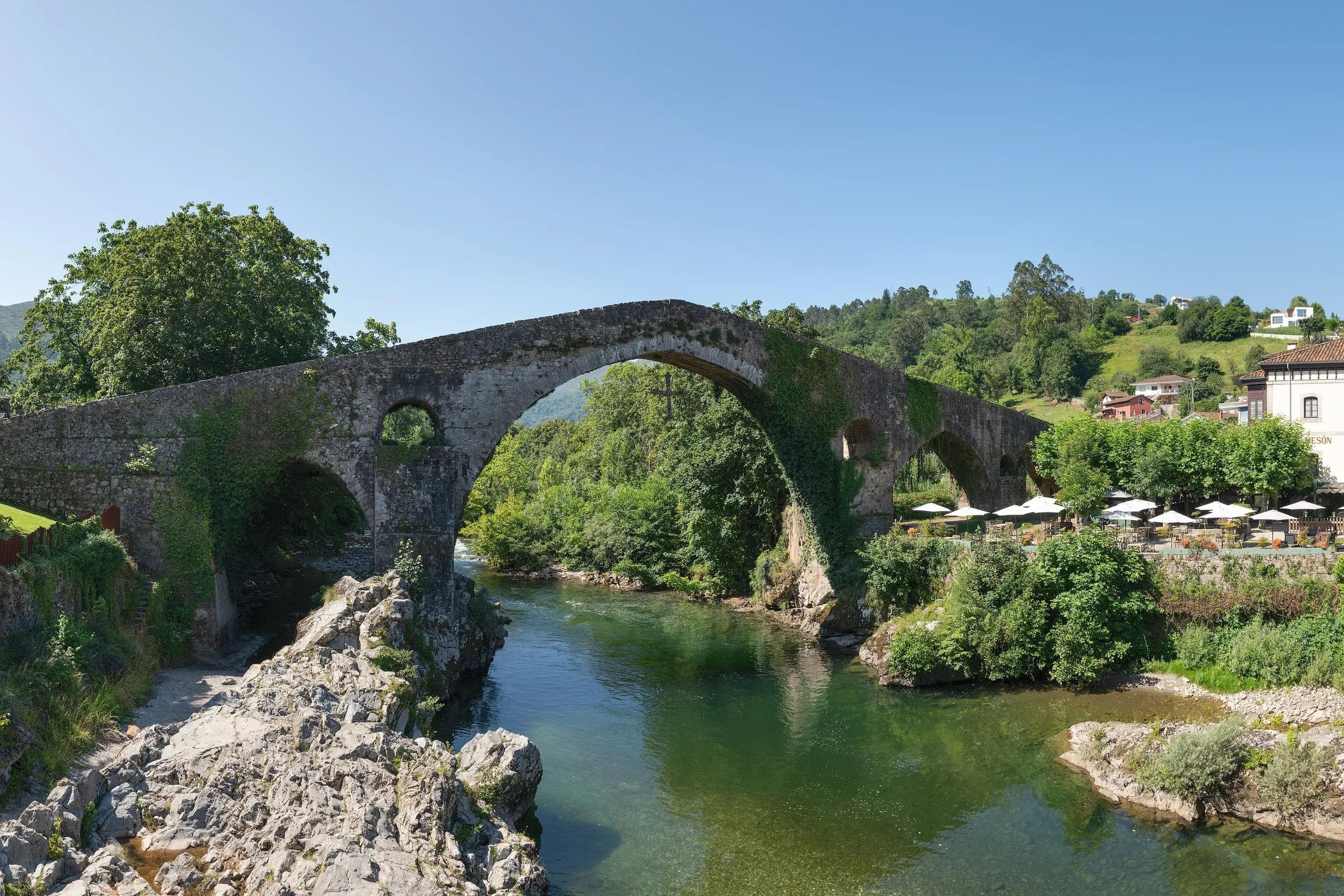
Places & Destinations
Cangas de Onís and Covadonga
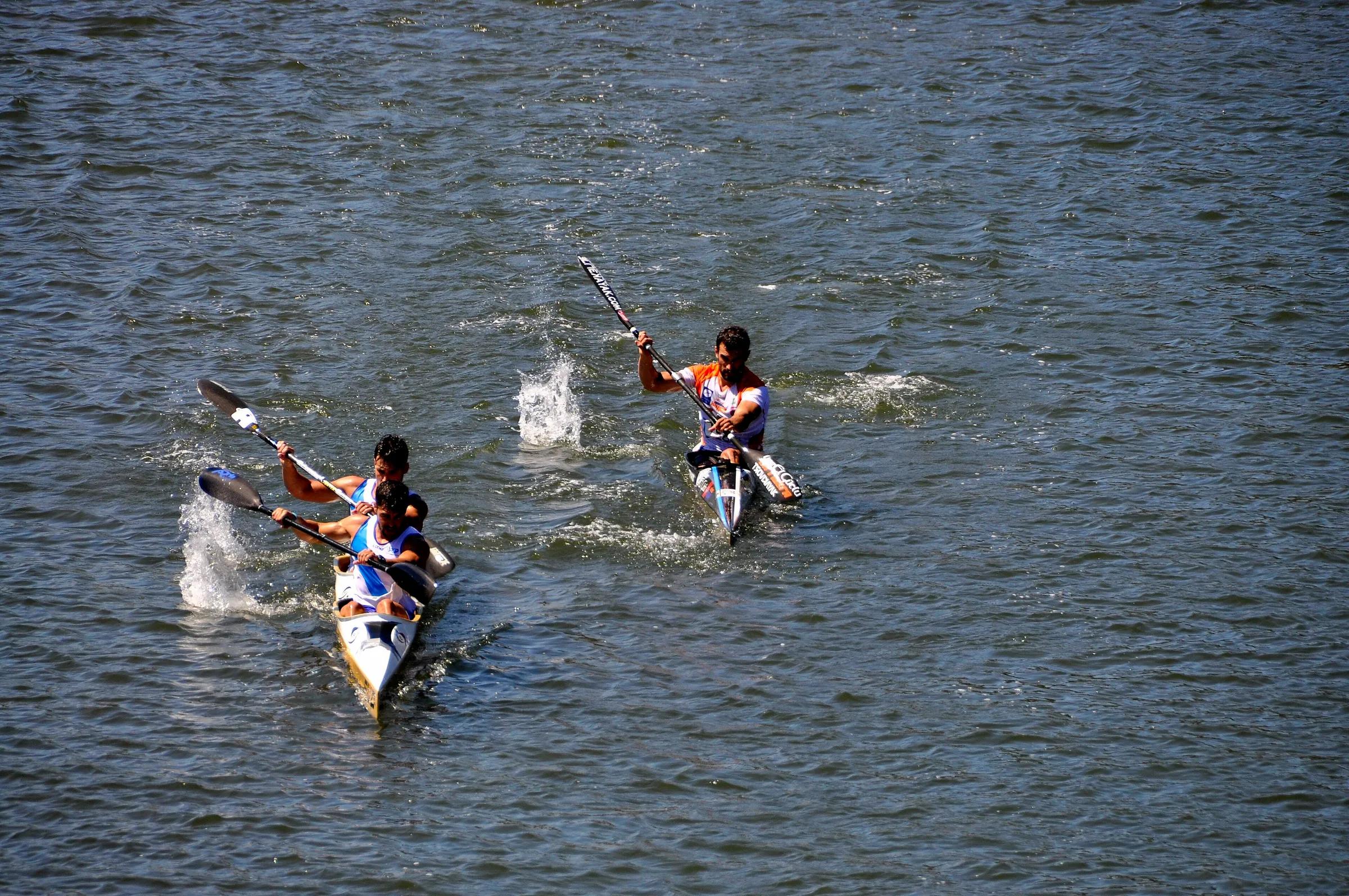
Adventure & Outdoors
Canoeing the Sella
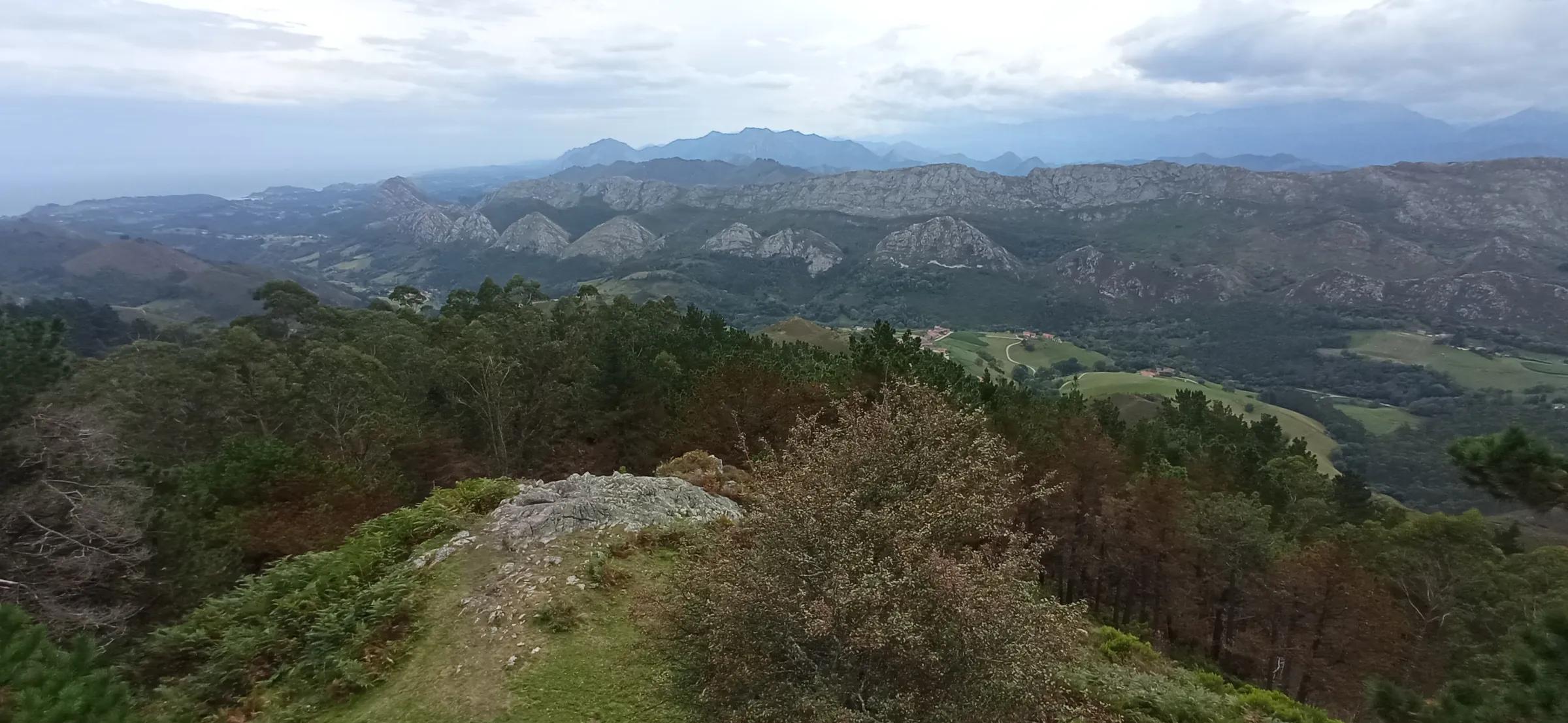
Journeys & Road Trips
Eastern Asturias, from the coast to the peaks
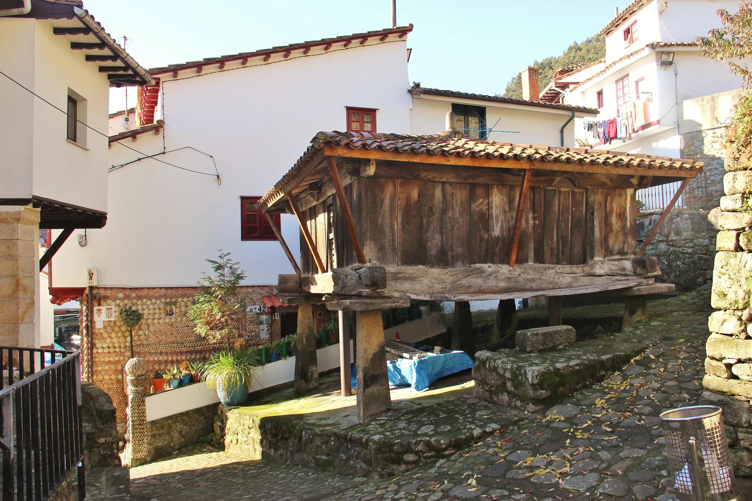
Life & Culture
Hórreos: the granaries of Asturias
Places & Destinations
Ribadesella, where the Sella meets the sea
Adventure & Outdoors
Walking the Cares gorge
Places & Destinations
Getting to the Lakes of Covadonga: how access works
Adventure & Outdoors
Reading the tide on the Llanes coast