
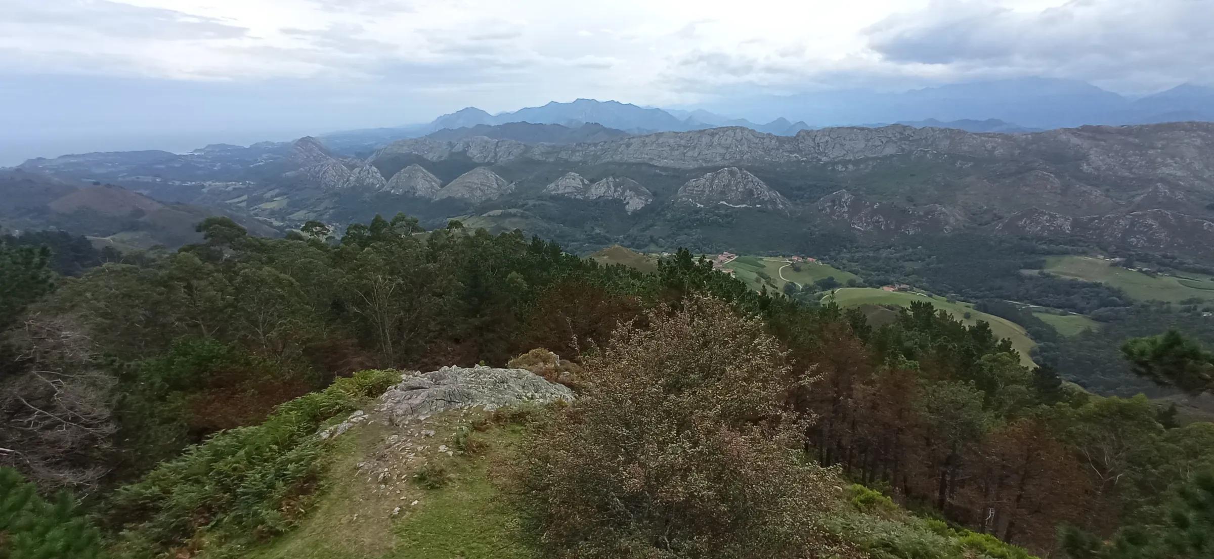
 80kmh / Wikimedia Commons, CC BY 4.0
Journeys & Road Trips · Road trip
Eastern Asturias, from the coast to the peaks
Four days that climb from the coves of Llanes to the high pastures of Cabrales, by way of the Sella, Cangas de Onís and the lakes of Covadonga.
Stand at the Mirador del Fitu on a clear morning and eastern Asturias explains itself in one look. Green ridges fold down towards a sea you can almost hear; behind them, pale and abrupt, the limestone of the Picos de Europa fills the southern sky. The distance between the two is short enough to drive in an afternoon and deep enough to fill a week. This road trip follows that line from salt water to high pasture: the Llanes coast, the mouth of the Sella at Ribadesella, the river valley through Arriondas and Cangas de Onís, the sanctuary and lakes of Covadonga, and finally Cabrales, where the roads give out and the paths take over.
The lie of the land
The geography is simple and generous. A narrow coastal shelf, cut into coves, inlets and blowholes, runs along the Cantabrian Sea. A short way inland the Sierra del Cuera rises behind it, and beyond that the rivers, the Sella above all, have carved their way north out of the mountains. Every road south climbs; every road north drops back to the sea. That gives you a freedom worth using: if the peaks are lost in cloud, the coast may be the better day, and when a sea fret rolls in, the valleys often lie in sunshine. Treat the days below as a sequence of suggestions, not an order of march.
Day one: the Llanes coast
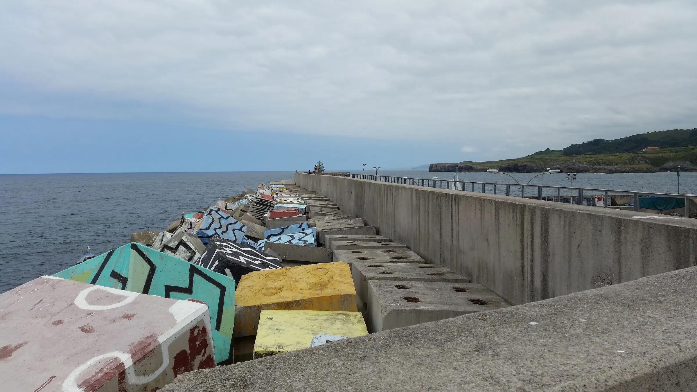
Llanes is a natural first base. Turismo Asturias counts more than thirty beaches in the concejo, from tiny coves to long sands, and describes the old town as one of the best preserved in Asturias, thick with palaces and houses bearing coats of arms. Down at the port, the breakwater blocks of the Cubos de la Memoria are painted in bright, blocky colour, and a coastal path runs between Bustio and Guadamía for anyone who would rather walk the shoreline than drive it.
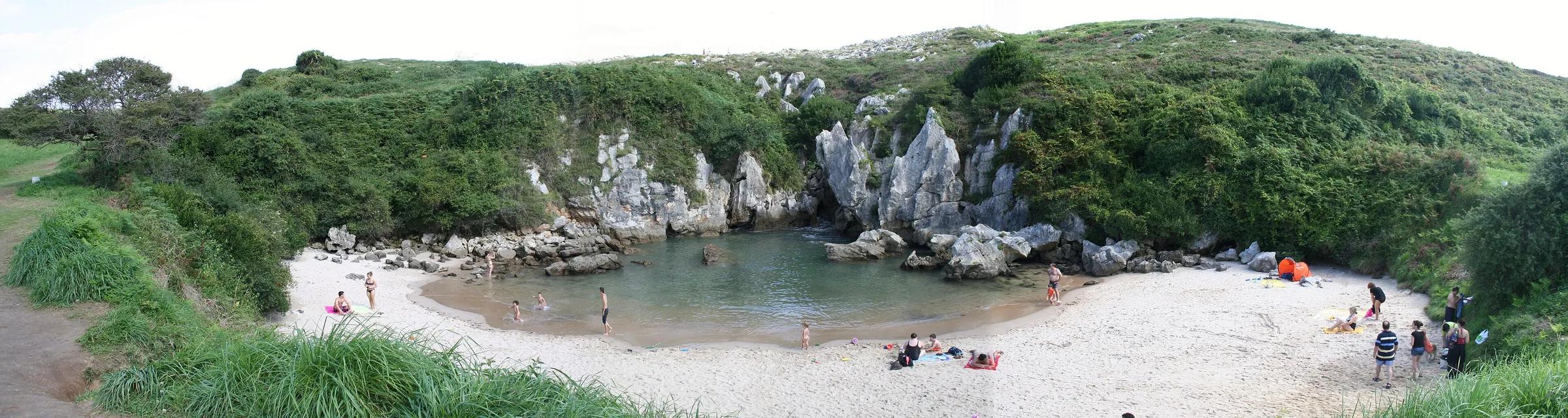
West of town, Gulpiyuri is the coast's quiet riddle: a small beach in the middle of meadows, with no visible opening to the sea. It is a flooded sinkhole in the limestone, fed by the Cantabrian through the rock, and it is protected as a Natural Monument. You reach it on foot, from San Antolín beach or from the village of Naves, and dogs and other pets are not allowed on the sand. Further west, the Bufones de Pría are blowholes in the cliff-top plateau; when a heavy swell is running they roar and spout, and the safe place to enjoy them is well back from the edge.
 Jaime E. Osorio / Wikimedia Commons, CC BY-SA 3.0
 Franciaio / Wikimedia Commons, CC BY-SA 3.0
 Ecelan / Wikimedia Commons, CC BY-SA 4.0
Day two: Ribadesella and the Sella
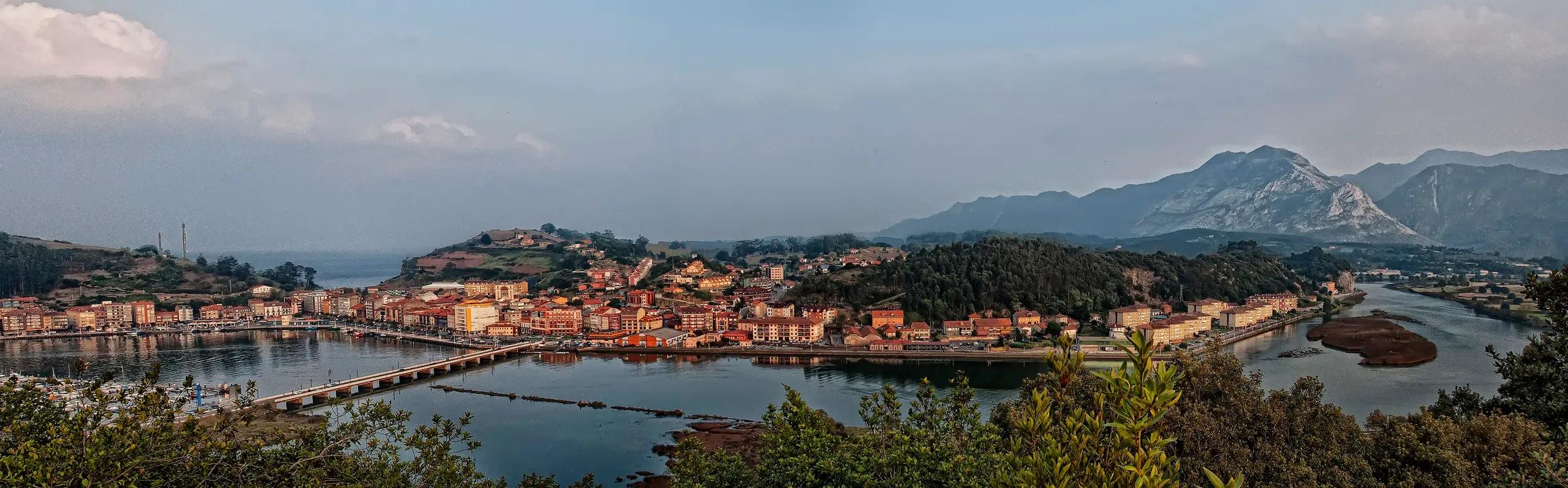
Ribadesella sits where the Sella reaches the sea, and a promenade follows the river, the estuary and the shore through the town. Across the water, the beach of Santa Marina is lined with early twentieth-century mansions built by returning emigrants. On the town's edge, the Tito Bustillo cave, discovered by cavers in 1968, holds painted and engraved walls that are part of a World Heritage listing; a little inland, the road to the village of Cuevas runs straight through La Cuevona, a cave with formations overhead. Each summer the town fills for the Descenso del Sella, the only festival in Asturias declared of International Tourist Interest.
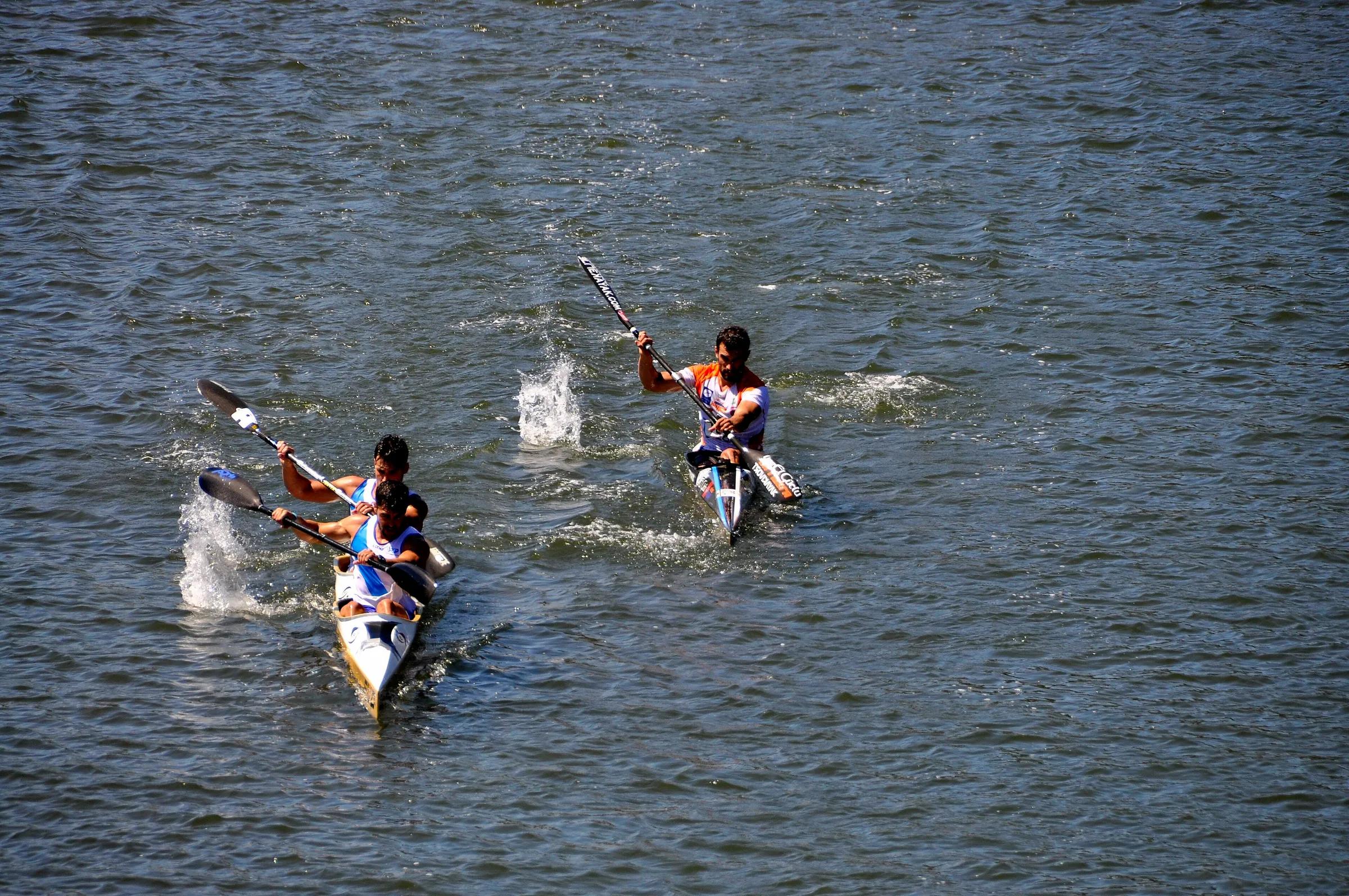
From there, follow the river upstream into the valley. Arriondas is where the canoe descents of the Sella begin, and licensed operators in the town hire out boats and equipment in the season. Even if you stay on the bank, the stretch of river between Arriondas and Cangas de Onís, with its meadows and wooded slopes, is a good place to slow down. End the day in Cangas de Onís, which makes the most practical base for the next two days.
Day three: Covadonga and the lakes
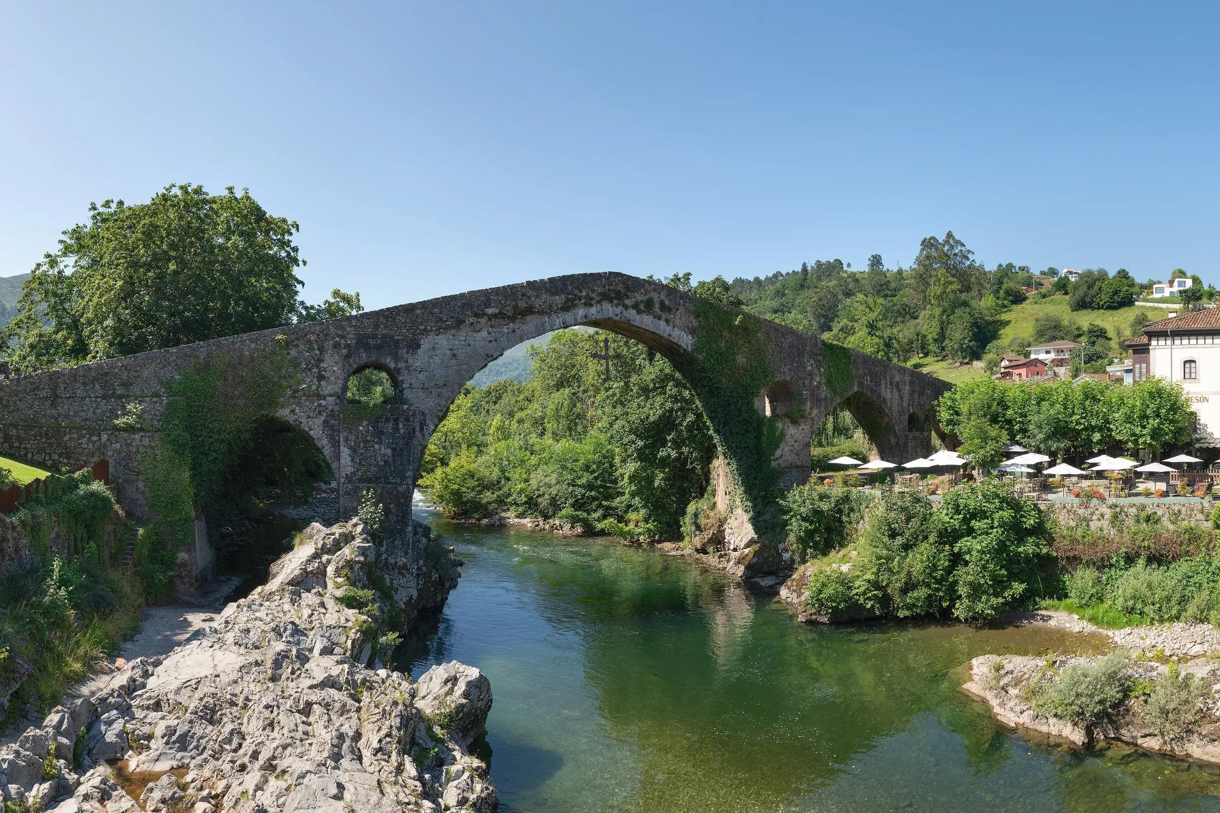
Cangas de Onís calls itself the first city and court of the Asturian monarchy, and its emblem is the high-arched bridge over the Sella known as the Puente Romano, with the Victory Cross hanging beneath it. A short drive up the valley, Covadonga gathers its sanctuary into a fold of the mountain: the small chapel of the Santa Cueva set into the cliff, and below it the basilica of pink stone. Above the sanctuary, the CO-4 road climbs to the lakes, Enol and Ercina, where cows graze between the water and the limestone.
The CO-4 is the only road on which private vehicles may reach the lakes, and on the busiest days it is closed to them altogether. During those regulated periods a special public bus service runs from the bus station in Cangas de Onís and from car parks along the way, and private cars are not allowed up at any hour. Outside them you can drive up, though the park administration can still close the barrier when the car parks fill. Covadonga itself stays open to drivers, subject to parking.
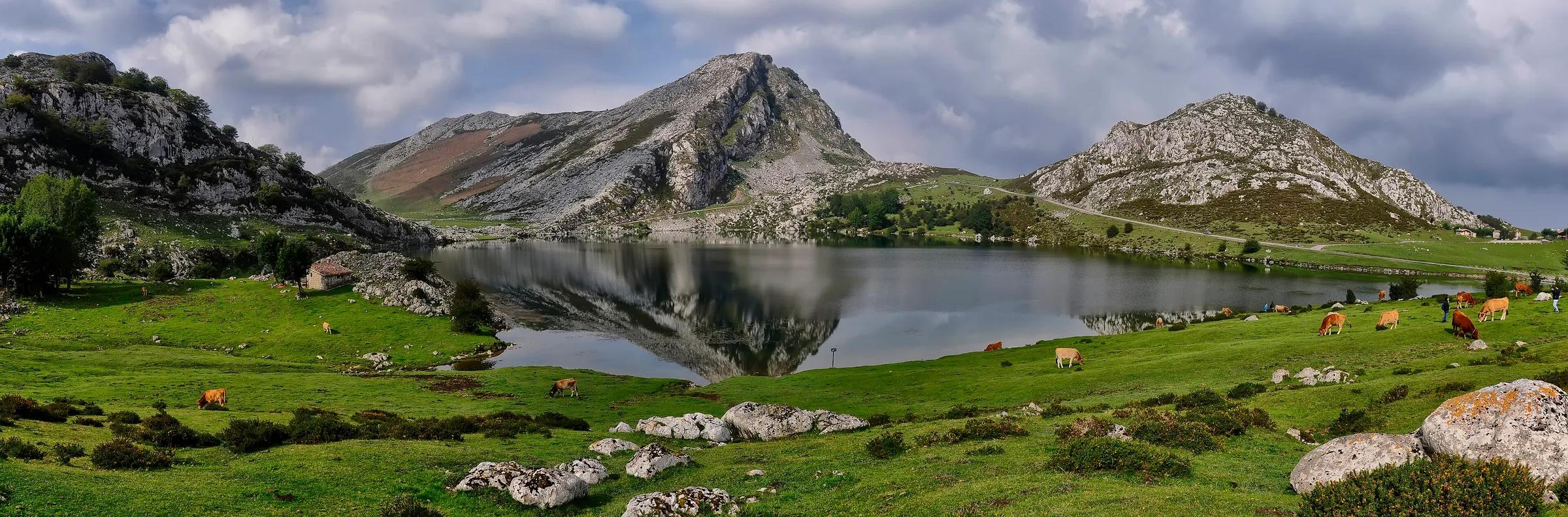
Up at the lakes you are inside the Picos de Europa National Park, and its rules apply: dogs on a lead, livestock left in peace, gates closed behind you and every scrap of litter carried back down. Spend the evening in Cangas de Onís again.
Day four: Cabrales
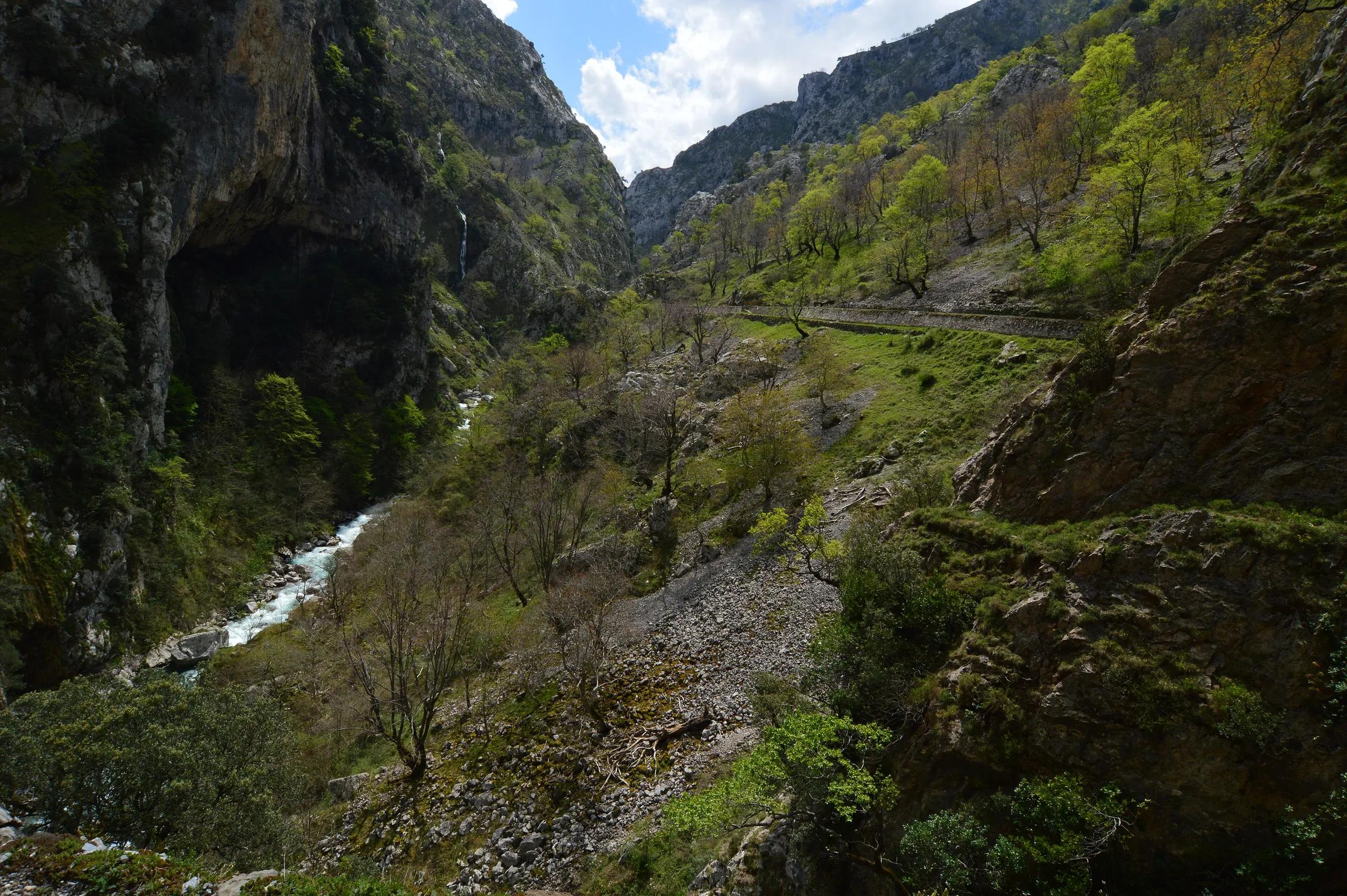
Head east along the valley to Arenas de Cabrales, the low door into the Picos' central massif. Cabrales is a land of blue cheese, and in Arenas the Cueva del Quesu tells its story in a cave where the cheeses mature on wooden racks. On Thursdays the village holds its weekly market. From Arenas, the road narrows into the gorge of the Cares and reaches Poncebos, where the famous Cares walk begins and where the funicular to Bulnes leaves from.
Until a few decades ago Bulnes was one of the most isolated villages in Asturias. Today you can ride the funicular up through the mountain in a few minutes, or climb on foot through the Canal del Texu, a gorge between high limestone walls. Turismo Asturias describes the walk as short but intense, unsuitable for small children or people without experience of mountain paths, and best avoided in wet weather, when the rock turns slippery. Above the village rises the tower of the Naranjo de Bulnes, the Picu Urriellu, first climbed in 1904.
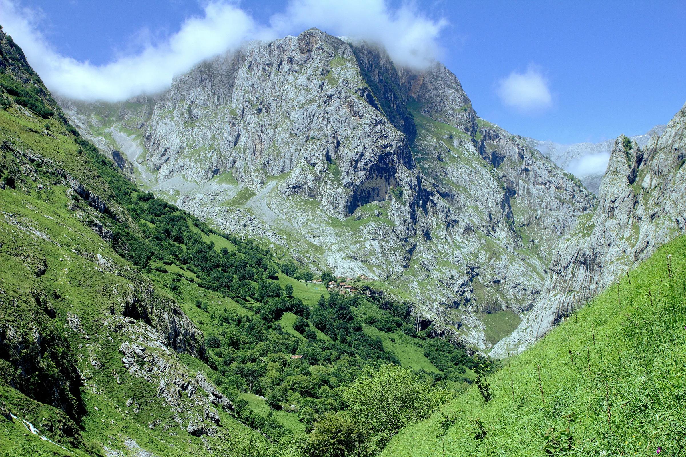
Parking at Poncebos is limited. In the high season (Holy Week, the May bank holiday and summer) the Principado runs a special public transport plan with buses from Arenas de Cabrales, and taking it spares you the search for a space. Arenas makes a calm place to spend the last night.
Make it your own
None of this is fixed. With three days, fold the coast and Ribadesella into a single day and sleep in Cangas de Onís twice. With more time, stay longer wherever the light is good: a second coastal day around the bufones and the coves, a day on the river, or a slow morning in Bulnes. Drop a stop rather than rush one. You can copy the route into My trips and rearrange it there as you go.
On the road
- Mountain roads here are narrow and winding, with cattle, walkers and cyclists around blind bends. Drive them slowly and let faster traffic pass.
- The road to the lakes closes to private cars on regulated days; plan that day around the bus.
- Fog can come down quickly in the Picos, even in summer. Carry a waterproof and do not count on mobile coverage; 112 reaches further than ordinary calls.
- Car parks at popular trailheads fill early in summer; arriving early, or by bus, is kinder to the valley and to you.
The route
Eastern Asturias, from the coast to the peaks
Distances are short, roads are slow. Swap the coast and mountain days to suit the weather.
Day 1
The Llanes coast
- Playa de Gulpiyuri
The inland beach, on foot from Naves or San Antolín. No pets.
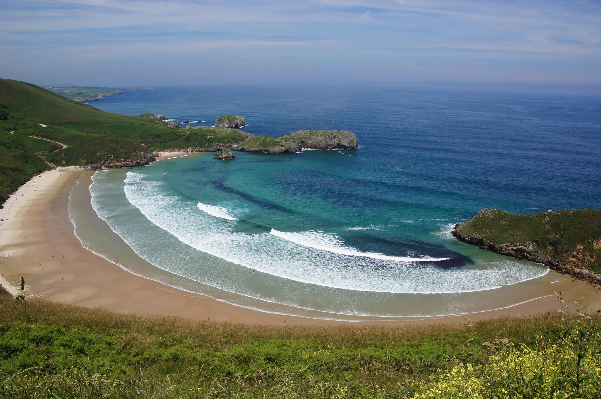
- Playa de Torimbia
A curved bay between green headlands.
- Bufones de Pría
Blowholes on the cliff-top; keep well back in a heavy swell.
Day 2
Ribadesella and the Sella
- Ribadesella
The estuary promenade and Santa Marina beach.
- Cueva de Tito Bustillo
Rock art of World Heritage rank; check visiting arrangements.
- Mirador del Fitu
An optional detour west for the view from coast to peaks.
- Arriondas
Where the canoe descents of the Sella begin.
Day 3
Covadonga and the lakes
- Covadonga
The Santa Cueva and the basilica.
- Lagos de Covadonga
Enol and Ercina. By bus on regulated days.
Day 4
Cabrales
- Ruta del Cares
Poncebos, start of the Cares walk and of the funicular.
- Bulnes
By funicular or on foot through the Canal del Texu.
Copy this route to My trips
An editable trip: drop a stop, stay longer, add your own. Nothing is booked.
Practical details checked on 8 November 2026. Rules, access and seasons change. Check the official sources below before you go.
Sources
- Turismo Asturias: Llaneschecked 8 November 2026
- Turismo Asturias: Playa de Gulpiyurichecked 8 November 2026
- Turismo Asturias: Ribadesellachecked 8 November 2026
- Turismo Asturias: Cangas de Oníschecked 8 November 2026
- Turismo Asturias: Acceso a los Lagos de Covadongachecked 8 November 2026
- MITECO: Regulación de accesos a los lagos de Covadongachecked 8 November 2026
- Turismo Asturias: Cabraleschecked 8 November 2026
- Turismo Asturias: Bulnes por la Canal del Texuchecked 8 November 2026
- Parque Nacional de los Picos de Europa: precauciones en senderos y rutas de montañachecked 8 November 2026
Take it further
If this story set you thinking, here is where to take it next.
Series
In the series Eastern Asturias, closely
Life & Culture
Asturian cider culture
Places & Destinations
Cangas de Onís and Covadonga
Adventure & Outdoors
Canoeing the Sella
Journeys & Road Trips
Eastern Asturias, from the coast to the peaks
Life & Culture
Hórreos: the granaries of Asturias
Places & Destinations
Ribadesella, where the Sella meets the sea
Adventure & Outdoors
Walking the Cares gorge
Places & Destinations
Getting to the Lakes of Covadonga: how access works
Adventure & Outdoors
Reading the tide on the Llanes coast